22 Pinrock Rd Auburn, MA 01501
Pakachoag NeighborhoodEstimated Value: $319,000 - $417,000
2
Beds
2
Baths
1,200
Sq Ft
$307/Sq Ft
Est. Value
About This Home
This home is located at 22 Pinrock Rd, Auburn, MA 01501 and is currently estimated at $368,872, approximately $307 per square foot. 22 Pinrock Rd is a home located in Worcester County with nearby schools including Auburn Senior High School.
Ownership History
Date
Name
Owned For
Owner Type
Purchase Details
Closed on
Dec 13, 2018
Sold by
Joanne A Gaspie Irt and Gaspie
Bought by
Gow Tammy A
Current Estimated Value
Purchase Details
Closed on
Aug 8, 2013
Sold by
Gaspie Joanne A
Bought by
Joanne A Gaspie Irt and Gaspie Charles E
Purchase Details
Closed on
Aug 26, 1964
Bought by
Gaspie Charles E
Create a Home Valuation Report for This Property
The Home Valuation Report is an in-depth analysis detailing your home's value as well as a comparison with similar homes in the area
Home Values in the Area
Average Home Value in this Area
Purchase History
| Date | Buyer | Sale Price | Title Company |
|---|---|---|---|
| Gow Tammy A | -- | -- | |
| Gow Tammy A | -- | -- | |
| Joanne A Gaspie Irt | -- | -- | |
| Gaspie Charles E | -- | -- | |
| Joanne A Gaspie Irt | -- | -- |
Source: Public Records
Tax History Compared to Growth
Tax History
| Year | Tax Paid | Tax Assessment Tax Assessment Total Assessment is a certain percentage of the fair market value that is determined by local assessors to be the total taxable value of land and additions on the property. | Land | Improvement |
|---|---|---|---|---|
| 2025 | $40 | $280,300 | $93,000 | $187,300 |
| 2024 | $3,813 | $255,400 | $88,600 | $166,800 |
| 2023 | $3,668 | $231,000 | $80,500 | $150,500 |
| 2022 | $3,359 | $199,700 | $76,000 | $123,700 |
| 2021 | $3,160 | $174,200 | $67,100 | $107,100 |
| 2020 | $3,132 | $174,200 | $67,100 | $107,100 |
| 2019 | $2,949 | $160,100 | $62,500 | $97,600 |
| 2018 | $3,444 | $150,100 | $58,500 | $91,600 |
| 2017 | $2,652 | $144,600 | $53,000 | $91,600 |
| 2016 | $2,507 | $138,600 | $55,600 | $83,000 |
| 2015 | $2,423 | $140,400 | $55,600 | $84,800 |
| 2014 | $2,272 | $131,400 | $52,800 | $78,600 |
Source: Public Records
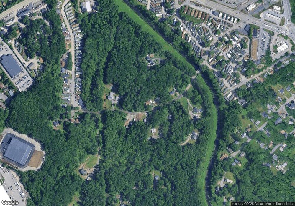
Map
Nearby Homes
- 557 SW Cutoff Unit 107
- 557 SW Cutoff Unit 17
- 557 SW Cutoff Unit 79
- 47 Washington St Unit 26
- 3 Lower Windbrook Dr
- 24 Upper Windbrook
- 2 Breezy Bend
- 1295 Millbury St Unit B
- 104 Elmwood St
- 33 Tainter Hill Rd Unit 33B
- 29 Steele St
- 204-212 Hampton St
- 7 Manor Rd
- 422 Granite St
- 5- 33 Tainter Hill Rd Unit 33A
- 5- 33 Tainter Hill Rd
- 28 Bittersweet Blvd
- 90 Park Hill Ave
- 5 Tatman St
- 148 Hampton St
- 20 Pinrock Rd
- 19 Pinrock Rd Unit 21
- 3 Laurel Ln
- 17 Pinrock Rd
- 4 Laurel Ln
- 26 Pinrock Rd
- 12 Pinrock Rd
- 15 Pinrock Rd
- 7 Laurel Ln
- 0 Pinrock Rd
- 27 Pinrock Rd
- 11 Laurel Ln
- 11 Laurel Ln Unit 1
- 17 Washington St Unit 5
- 17 Washington St
- 17 Washington St
- 17 Washington St
- 17 Washington St
- 0 Laurel Ln
- 3 Washington St Unit 557-45