22 Polaris Dr New Milford, CT 06776
Estimated Value: $417,000 - $455,582
3
Beds
1
Bath
1,028
Sq Ft
$426/Sq Ft
Est. Value
About This Home
This home is located at 22 Polaris Dr, New Milford, CT 06776 and is currently estimated at $437,646, approximately $425 per square foot. 22 Polaris Dr is a home located in Litchfield County with nearby schools including Hill And Plain Elementary School, Sarah Noble Intermediate School, and Schaghticoke Middle School.
Ownership History
Date
Name
Owned For
Owner Type
Purchase Details
Closed on
Aug 28, 1997
Sold by
Corso Mark and Corso Patricia Ann
Bought by
Hansen John Paul and Hansen Kathleen
Current Estimated Value
Home Financials for this Owner
Home Financials are based on the most recent Mortgage that was taken out on this home.
Original Mortgage
$149,150
Interest Rate
7.41%
Mortgage Type
Unknown
Purchase Details
Closed on
Aug 23, 1994
Sold by
Zemon Margaret A
Bought by
Corso Mark and Corso Patricia A
Create a Home Valuation Report for This Property
The Home Valuation Report is an in-depth analysis detailing your home's value as well as a comparison with similar homes in the area
Home Values in the Area
Average Home Value in this Area
Purchase History
| Date | Buyer | Sale Price | Title Company |
|---|---|---|---|
| Hansen John Paul | $157,000 | -- | |
| Corso Mark | $142,000 | -- |
Source: Public Records
Mortgage History
| Date | Status | Borrower | Loan Amount |
|---|---|---|---|
| Open | Corso Mark | $197,500 | |
| Closed | Corso Mark | $226,000 | |
| Closed | Corso Mark | $170,000 | |
| Closed | Corso Mark | $149,150 |
Source: Public Records
Tax History Compared to Growth
Tax History
| Year | Tax Paid | Tax Assessment Tax Assessment Total Assessment is a certain percentage of the fair market value that is determined by local assessors to be the total taxable value of land and additions on the property. | Land | Improvement |
|---|---|---|---|---|
| 2025 | $8,070 | $264,600 | $66,570 | $198,030 |
| 2024 | $4,776 | $160,430 | $51,230 | $109,200 |
| 2023 | $4,649 | $160,430 | $51,230 | $109,200 |
| 2022 | $4,548 | $160,430 | $51,230 | $109,200 |
| 2021 | $4,487 | $160,430 | $51,230 | $109,200 |
| 2020 | $4,557 | $158,900 | $56,280 | $102,620 |
| 2019 | $14,938 | $158,900 | $56,280 | $102,620 |
| 2018 | $4,476 | $158,900 | $56,280 | $102,620 |
| 2017 | $4,330 | $158,900 | $56,280 | $102,620 |
| 2016 | $4,254 | $158,900 | $56,280 | $102,620 |
| 2015 | $4,224 | $157,920 | $56,280 | $101,640 |
| 2014 | $4,153 | $157,920 | $56,280 | $101,640 |
Source: Public Records
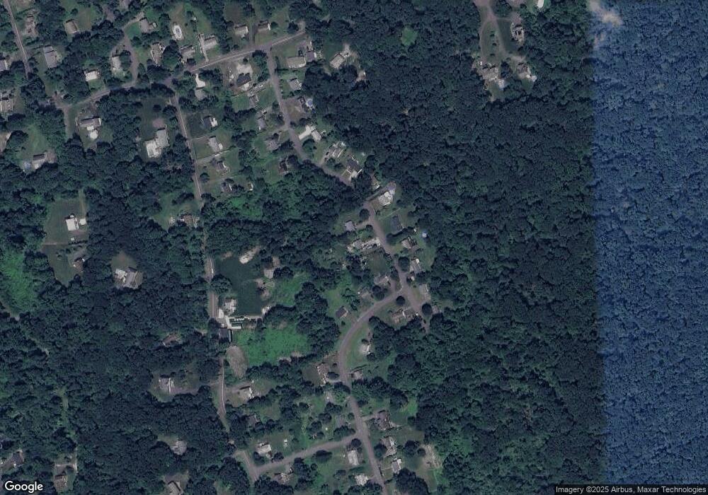
Map
Nearby Homes
- 20 Polaris Dr
- 197 Carmen Hill Rd
- 6 Red Cedar Dr
- 35 Mist Hill Dr
- 17 Haviland Rd
- 17 Lakewood Terrace
- 7 Eagle Dr
- 107 Carmen Hill Rd
- 5 Mountain Dr
- 2 Meadow Ln
- 55 Carmen Hill Rd
- 26 Birch Ln
- 1 Old Middle Rd
- 45 Old Pumpkin Hill Rd
- 77 Old Middle Rd
- 98 Sullivan Farm
- 43 Sullivan Farm
- 2 Sullivan Farm Unit 2
- 595 Candlewood Lake Rd
- 12 Cedar Vale Dr
- 4 Overlook Dr
- 2 Overlook Dr
- 6 Overlook Dr
- 21 Polaris Dr
- 23 Polaris Dr
- 19 Polaris Dr
- 1 Overlook Dr
- 25 Polaris Dr
- 175 Carmen Hill Rd
- 17 Polaris Dr
- 7 Overlook Dr
- 27 Polaris Dr
- 10 Polaris Dr
- 15 Polaris Dr
- 29 Polaris Dr
- 169 Carmen Hill Rd
- 169 Carmen Hill Rd Unit 1
- 11 Overlook Dr
- 11 Polaris Dr
- 10 Overlook Dr