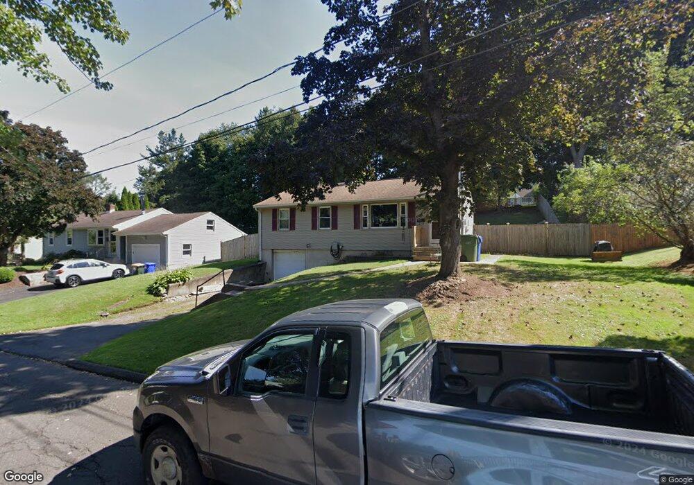
22 Randall Ct Middletown, CT 06457
Westfield NeighborhoodEstimated Value: $264,000 - $305,000
3
Beds
1
Bath
912
Sq Ft
$308/Sq Ft
Est. Value
About This Home
This home is located at 22 Randall Ct, Middletown, CT 06457 and is currently estimated at $281,156, approximately $308 per square foot. 22 Randall Ct is a home located in Middlesex County with nearby schools including Wilbert Snow Elementary School, Middletown High School, and St John Paul II School.
Ownership History
Date
Name
Owned For
Owner Type
Purchase Details
Closed on
Sep 30, 1999
Sold by
Cooley Michael P
Bought by
Sarahina Byron L and Sarahina Irene E
Current Estimated Value
Home Financials for this Owner
Home Financials are based on the most recent Mortgage that was taken out on this home.
Original Mortgage
$106,050
Outstanding Balance
$31,875
Interest Rate
8%
Mortgage Type
VA
Estimated Equity
$249,281
Purchase Details
Closed on
Jul 23, 1993
Sold by
Marino Peter C and Marino Angelina
Bought by
Cooley Michael D
Home Financials for this Owner
Home Financials are based on the most recent Mortgage that was taken out on this home.
Original Mortgage
$91,515
Interest Rate
2.5%
Mortgage Type
Unknown
Create a Home Valuation Report for This Property
The Home Valuation Report is an in-depth analysis detailing your home's value as well as a comparison with similar homes in the area
Home Values in the Area
Average Home Value in this Area
Purchase History
| Date | Buyer | Sale Price | Title Company |
|---|---|---|---|
| Sarahina Byron L | $104,000 | -- | |
| Cooley Michael D | $93,000 | -- |
Source: Public Records
Mortgage History
| Date | Status | Borrower | Loan Amount |
|---|---|---|---|
| Open | Cooley Michael D | $106,050 | |
| Previous Owner | Cooley Michael D | $91,515 |
Source: Public Records
Tax History
| Year | Tax Paid | Tax Assessment Tax Assessment Total Assessment is a certain percentage of the fair market value that is determined by local assessors to be the total taxable value of land and additions on the property. | Land | Improvement |
|---|---|---|---|---|
| 2025 | $5,356 | $137,680 | $59,350 | $78,330 |
| 2024 | $5,067 | $137,680 | $59,350 | $78,330 |
| 2023 | $4,833 | $137,680 | $59,350 | $78,330 |
| 2022 | $4,169 | $94,760 | $39,560 | $55,200 |
| 2021 | $4,169 | $94,760 | $39,560 | $55,200 |
| 2020 | $4,188 | $94,760 | $39,560 | $55,200 |
| 2019 | $4,207 | $94,760 | $39,560 | $55,200 |
| 2018 | $4,141 | $94,760 | $39,560 | $55,200 |
| 2017 | $4,460 | $105,180 | $45,690 | $59,490 |
| 2016 | $4,333 | $105,180 | $45,690 | $59,490 |
| 2015 | $4,165 | $105,180 | $45,690 | $59,490 |
| 2014 | $4,207 | $105,180 | $45,690 | $59,490 |
Source: Public Records
Map
Nearby Homes
- 183 Aston Ln
- 211 Boston Rd
- 45 Mckenna Dr
- 13 Mckenna Dr
- 160 Boston Rd
- 21 Butternut Knolls
- 27 Barbara Rd
- 91 Gleeson Rd
- 56 Coles Rd
- 8 Nathan Hale Rd
- 70 Jack English Dr
- 1 Nathan Hale Rd
- 4 Nathan Hale Rd
- 3 Nathan Hale Rd
- 5 Nathan Hale Rd
- 40 Sylvan Ridge
- 194 Camp St
- 82 Westfield Terrace
- 122 Baldwin Dr
- 11 Mansfield Terrace
Your Personal Tour Guide
Ask me questions while you tour the home.