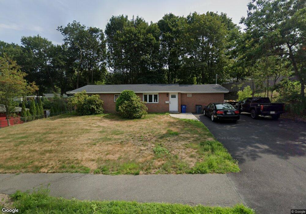
22 Reed Rd Peabody, MA 01960
Estimated Value: $633,000 - $654,000
3
Beds
2
Baths
1,360
Sq Ft
$475/Sq Ft
Est. Value
About This Home
This home is located at 22 Reed Rd, Peabody, MA 01960 and is currently estimated at $645,515, approximately $474 per square foot. 22 Reed Rd is a home located in Essex County with nearby schools including Peabody Veterans Memorial High School and St John The Baptist School.
Ownership History
Date
Name
Owned For
Owner Type
Purchase Details
Closed on
Jul 25, 2023
Sold by
Vinci Marco A
Bought by
Mrcv Llc
Current Estimated Value
Home Financials for this Owner
Home Financials are based on the most recent Mortgage that was taken out on this home.
Original Mortgage
$209,500
Outstanding Balance
$204,218
Interest Rate
6.71%
Mortgage Type
Stand Alone Refi Refinance Of Original Loan
Estimated Equity
$441,297
Purchase Details
Closed on
Sep 15, 2022
Sold by
Vinci Evelyn J
Bought by
Vinci Marco
Purchase Details
Closed on
May 22, 1975
Bought by
Vinci Evelyn J
Create a Home Valuation Report for This Property
The Home Valuation Report is an in-depth analysis detailing your home's value as well as a comparison with similar homes in the area
Purchase History
| Date | Buyer | Sale Price | Title Company |
|---|---|---|---|
| Mrcv Llc | -- | None Available | |
| Mrcv Llc | -- | None Available | |
| Mrcv Llc | -- | None Available | |
| Vinci Marco | -- | None Available | |
| Vinci Marco | -- | None Available | |
| Vinci Evelyn J | -- | -- |
Source: Public Records
Mortgage History
| Date | Status | Borrower | Loan Amount |
|---|---|---|---|
| Open | Mrcv Llc | $209,500 | |
| Closed | Mrcv Llc | $209,500 |
Source: Public Records
Tax History
| Year | Tax Paid | Tax Assessment Tax Assessment Total Assessment is a certain percentage of the fair market value that is determined by local assessors to be the total taxable value of land and additions on the property. | Land | Improvement |
|---|---|---|---|---|
| 2025 | $5,056 | $546,000 | $297,500 | $248,500 |
| 2024 | $3,653 | $400,500 | $297,500 | $103,000 |
| 2023 | $3,764 | $395,400 | $248,000 | $147,400 |
| 2022 | $3,429 | $339,500 | $215,600 | $123,900 |
| 2021 | $3,237 | $308,600 | $196,000 | $112,600 |
| 2020 | $3,363 | $313,100 | $196,000 | $117,100 |
| 2019 | $3,128 | $284,100 | $196,000 | $88,100 |
| 2018 | $2,972 | $259,300 | $175,000 | $84,300 |
| 2017 | $2,916 | $248,000 | $175,000 | $73,000 |
| 2016 | $2,706 | $227,000 | $175,000 | $52,000 |
| 2015 | $2,970 | $241,500 | $175,000 | $66,500 |
Source: Public Records
Map
Nearby Homes
- 23 Tamarack Ln Unit 23
- 4 Price Rd
- 55 Hawthorne Cir
- 21 Olsen Rd
- 14 Raylen Ave
- 500 Northshore Rd Unit 6B
- 4R Forest St
- 233 Lowell St Unit 1
- 38-1/2 Ellsworth Rd
- 158 Lowell St Unit 4
- 9 Ledgewood Way Unit 6
- 12 Ledgewood Way Unit 8
- 8 Ledgewood Way Unit 20
- 7 Ledgewood Way Unit 8
- 165 Newbury St Unit 4
- 161 Newbury St Unit 32
- 3 Ledgewood Way Unit 8
- 47 Collins St Unit 50
- 21 Oak Leaf Way
- 10 Crowninshield St Unit 303
Your Personal Tour Guide
Ask me questions while you tour the home.