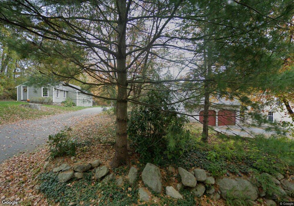
22 Rice Rd Sudbury, MA 01776
Estimated Value: $1,333,000 - $1,866,000
4
Beds
3
Baths
2,594
Sq Ft
$590/Sq Ft
Est. Value
About This Home
This home is located at 22 Rice Rd, Sudbury, MA 01776 and is currently estimated at $1,529,467, approximately $589 per square foot. 22 Rice Rd is a home located in Middlesex County with nearby schools including General John Nixon Elementary School, Ephraim Curtis Middle School, and Lincoln-Sudbury Regional High School.
Ownership History
Date
Name
Owned For
Owner Type
Purchase Details
Closed on
Jun 22, 2000
Sold by
Caso Deborah J
Bought by
Smith George W and Smith Maureen S
Current Estimated Value
Purchase Details
Closed on
Jan 20, 2000
Sold by
Sears Edmund H and Karpp Leslie S
Bought by
Reed Carol Y
Purchase Details
Closed on
Mar 15, 1996
Sold by
Kelley James W and Kelley Joanne C
Bought by
Caso David M
Create a Home Valuation Report for This Property
The Home Valuation Report is an in-depth analysis detailing your home's value as well as a comparison with similar homes in the area
Home Values in the Area
Average Home Value in this Area
Purchase History
| Date | Buyer | Sale Price | Title Company |
|---|---|---|---|
| Smith George W | $639,000 | -- | |
| Reed Carol Y | $500,000 | -- | |
| Caso David M | $380,000 | -- |
Source: Public Records
Mortgage History
| Date | Status | Borrower | Loan Amount |
|---|---|---|---|
| Open | Caso David M | $375,000 | |
| Closed | Caso David M | $200,000 |
Source: Public Records
Tax History Compared to Growth
Tax History
| Year | Tax Paid | Tax Assessment Tax Assessment Total Assessment is a certain percentage of the fair market value that is determined by local assessors to be the total taxable value of land and additions on the property. | Land | Improvement |
|---|---|---|---|---|
| 2025 | $18,316 | $1,251,100 | $542,900 | $708,200 |
| 2024 | $17,624 | $1,206,300 | $527,600 | $678,700 |
| 2023 | $16,757 | $1,062,600 | $494,000 | $568,600 |
| 2022 | $15,927 | $882,400 | $420,200 | $462,200 |
| 2021 | $15,237 | $809,200 | $420,200 | $389,000 |
| 2020 | $15,350 | $832,000 | $443,000 | $389,000 |
| 2019 | $14,901 | $832,000 | $443,000 | $389,000 |
| 2018 | $14,522 | $809,900 | $454,200 | $355,700 |
| 2017 | $13,766 | $776,000 | $423,600 | $352,400 |
| 2016 | $13,350 | $750,000 | $407,600 | $342,400 |
| 2015 | $13,346 | $758,300 | $422,600 | $335,700 |
| 2014 | $13,339 | $739,800 | $410,700 | $329,100 |
Source: Public Records
Map
Nearby Homes
- 268 Old Sudbury Rd
- 4 Kato Summit
- 7 Nashoba Rd
- 20 Kato Dr
- 377 Concord Rd
- 210 Plympton Rd
- 427 Concord Rd
- 10 Bradley Place
- 270 Old Lancaster Rd
- 23 Massasoit Ave
- 271 Landham Rd
- 447 Peakham Rd
- 22 Glezen Ln
- 24 Goodnow Rd
- 1011 Boston Post Rd
- 89 Bridle Path
- 40 Tall Pine Dr Unit 12
- 14 Frost Ln
- 20 Shadow Oak Dr
- 45 Anselm Way
- 16 Rice Rd
- 145 Old Sudbury Rd
- 30 Rice Rd
- 136 Old Sudbury Rd
- 10 Rice Rd
- 18 Fieldstone Farm Rd
- 26 Fieldstone Farm Rd
- 173 Old Sudbury Rd
- 32 Fieldstone Farm Rd
- 69 - 71 Brewster Rd
- 69 Brewster Rd
- 27 Fieldstone Farm Rd
- 187 Old Sudbury Rd
- 115 Old Sudbury Rd
- 208 Old Sudbury Rd
- 38 Fieldstone Farm Rd
- 107 Old Sudbury Rd
- 197 Old Sudbury Rd
- 41 Fieldstone Farm Rd
- 44 Fieldstone Farm Rd