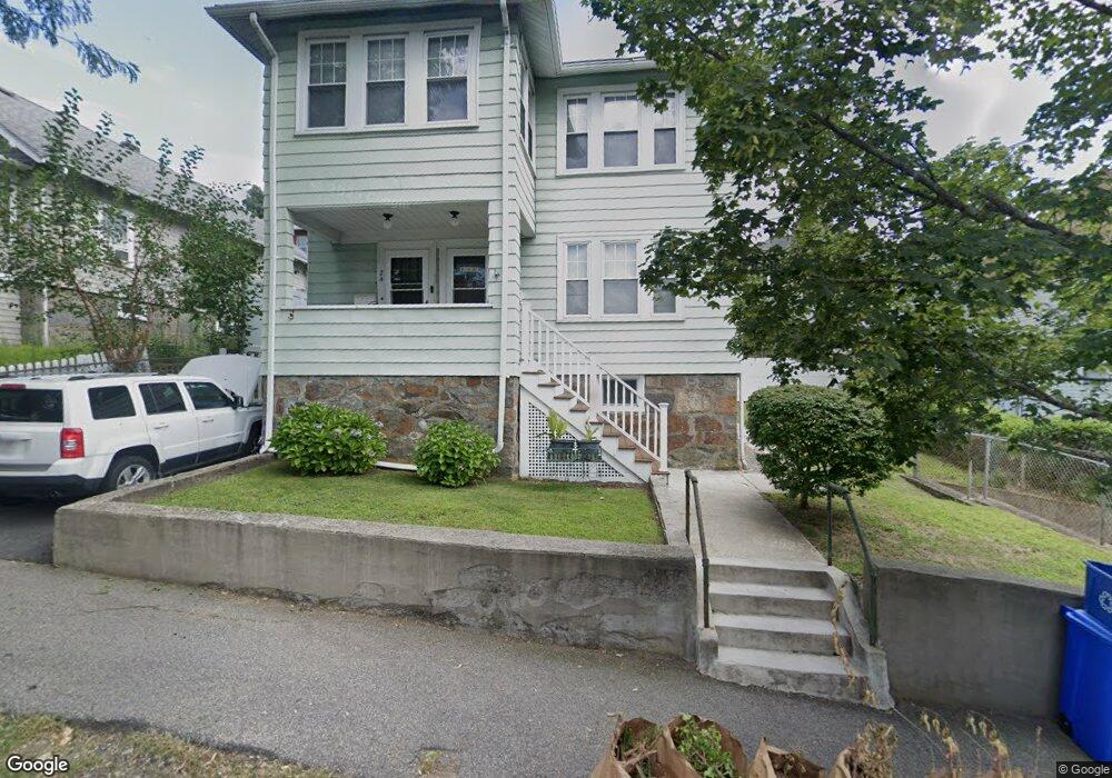
22 Richie Rd Quincy, MA 02169
South Quincy NeighborhoodEstimated Value: $744,000 - $956,000
4
Beds
2
Baths
2,430
Sq Ft
$347/Sq Ft
Est. Value
About This Home
This home is located at 22 Richie Rd, Quincy, MA 02169 and is currently estimated at $844,298, approximately $347 per square foot. 22 Richie Rd is a home located in Norfolk County with nearby schools including Lincoln-Hancock Community School, South West Middle School, and Quincy High School.
Ownership History
Date
Name
Owned For
Owner Type
Purchase Details
Closed on
Dec 5, 2016
Sold by
Chiocchio Guy G and Chiocchio Arlene M
Bought by
Guy G Chicchio Ft
Current Estimated Value
Purchase Details
Closed on
Nov 2, 2011
Sold by
Chiocchio Anthony J and Chiocchio Guy G
Bought by
Chiocchio Guy and Chiocchio Arlene
Home Financials for this Owner
Home Financials are based on the most recent Mortgage that was taken out on this home.
Original Mortgage
$185,000
Interest Rate
4.08%
Mortgage Type
Stand Alone Second
Purchase Details
Closed on
Mar 15, 2011
Sold by
Chiocchio Elaine S
Bought by
Chiocchio Anthony J and Jennings Joanne M
Create a Home Valuation Report for This Property
The Home Valuation Report is an in-depth analysis detailing your home's value as well as a comparison with similar homes in the area
Home Values in the Area
Average Home Value in this Area
Purchase History
| Date | Buyer | Sale Price | Title Company |
|---|---|---|---|
| Guy G Chicchio Ft | -- | -- | |
| Chiocchio Guy | -- | -- | |
| Chiocchio Anthony J | -- | -- |
Source: Public Records
Mortgage History
| Date | Status | Borrower | Loan Amount |
|---|---|---|---|
| Previous Owner | Chiocchio Guy | $185,000 |
Source: Public Records
Tax History Compared to Growth
Tax History
| Year | Tax Paid | Tax Assessment Tax Assessment Total Assessment is a certain percentage of the fair market value that is determined by local assessors to be the total taxable value of land and additions on the property. | Land | Improvement |
|---|---|---|---|---|
| 2025 | $8,469 | $734,500 | $262,800 | $471,700 |
| 2024 | $7,977 | $707,800 | $250,300 | $457,500 |
| 2023 | $7,466 | $670,800 | $227,600 | $443,200 |
| 2022 | $7,267 | $606,600 | $189,600 | $417,000 |
| 2021 | $7,397 | $609,300 | $189,600 | $419,700 |
| 2020 | $7,324 | $589,200 | $189,600 | $399,600 |
| 2019 | $6,980 | $556,200 | $178,900 | $377,300 |
| 2018 | $6,459 | $484,200 | $165,700 | $318,500 |
| 2017 | $6,504 | $459,000 | $157,800 | $301,200 |
| 2016 | $5,711 | $397,700 | $137,200 | $260,500 |
| 2015 | $5,605 | $383,900 | $137,200 | $246,700 |
| 2014 | $4,931 | $331,800 | $137,200 | $194,600 |
Source: Public Records
Map
Nearby Homes
- 177 Franklin St
- 166 Phipps St
- 86 Alton Rd
- 50 N Payne St Unit 1
- 50 N Payne St Unit 3
- 50 N Payne St Unit 4
- 192 Federal Ave Unit B
- 8 Jackson St Unit B2
- 48 Conrad St
- 118 Brook Rd Unit 2
- 106 Home Park Rd
- 9 Independence Ave Unit 307
- 94 Brook Rd Unit 3
- 51 Brook Rd
- 347 Centre St
- 33 Elm St
- 171-175 Granite St
- 21 Totman St Unit 202
- 21 Totman St Unit 309
- 21 Totman St Unit Model-1
- 22 Richie Rd Unit 1
- 24 Richie Rd
- 22 - 24 Richie Rd
- 18 Richie Rd
- 26 Richie Rd Unit 2
- 26 Richie Rd
- 26 Richie Rd Unit 26 Richie RD Quincy
- 26 Richie Rd
- 26 Richie Rd Unit 1
- 205 Kendrick Ave Unit 1
- 203 Kendrick Ave
- 4 Richie Rd
- 209 Kendrick Ave Unit 3
- 209 Kendrick Ave
- 209 Kendrick Ave Unit A
- 209-211 Kendrick Ave Unit 2
- 209-211 Kendrick Ave
- 209 Kendrick Ave Unit 209
- 21 Richie Rd
- 21 Richie Rd Unit SF