22 River Rd Cornwall Bridge, CT 06754
Estimated Value: $342,000 - $367,623
4
Beds
2
Baths
1,867
Sq Ft
$189/Sq Ft
Est. Value
About This Home
This home is located at 22 River Rd, Cornwall Bridge, CT 06754 and is currently estimated at $353,156, approximately $189 per square foot. 22 River Rd is a home located in Litchfield County with nearby schools including Housatonic Valley Regional High School.
Ownership History
Date
Name
Owned For
Owner Type
Purchase Details
Closed on
Mar 6, 2025
Sold by
Parker Robert A Est and Weaver
Bought by
Kambans Alexander
Current Estimated Value
Purchase Details
Closed on
Feb 5, 2015
Sold by
Parker Robert A
Bought by
Mellecker-Parker Judith and Parker Robert A
Purchase Details
Closed on
Aug 1, 1984
Bought by
Parker Robert A and Mellecker Judith
Create a Home Valuation Report for This Property
The Home Valuation Report is an in-depth analysis detailing your home's value as well as a comparison with similar homes in the area
Home Values in the Area
Average Home Value in this Area
Purchase History
| Date | Buyer | Sale Price | Title Company |
|---|---|---|---|
| Kambans Alexander | $326,000 | None Available | |
| Kambans Alexander | $326,000 | None Available | |
| Mellecker-Parker Judith | -- | -- | |
| Parker Robert A | $100,000 | -- | |
| Mellecker-Parker Judith | -- | -- |
Source: Public Records
Tax History
| Year | Tax Paid | Tax Assessment Tax Assessment Total Assessment is a certain percentage of the fair market value that is determined by local assessors to be the total taxable value of land and additions on the property. | Land | Improvement |
|---|---|---|---|---|
| 2025 | $4,462 | $279,600 | $51,800 | $227,800 |
| 2024 | $4,278 | $279,600 | $51,800 | $227,800 |
| 2023 | $4,110 | $279,600 | $51,800 | $227,800 |
| 2022 | $4,051 | $279,600 | $51,800 | $227,800 |
| 2021 | $3,641 | $218,000 | $41,400 | $176,600 |
| 2020 | $3,749 | $224,500 | $41,400 | $183,100 |
| 2019 | $3,749 | $224,500 | $41,400 | $183,100 |
| 2018 | $3,731 | $224,500 | $41,400 | $183,100 |
| 2017 | $3,619 | $224,500 | $41,400 | $183,100 |
| 2016 | $3,702 | $241,800 | $51,800 | $190,000 |
| 2015 | $3,658 | $241,800 | $51,800 | $190,000 |
| 2014 | $3,603 | $241,800 | $51,800 | $190,000 |
Source: Public Records
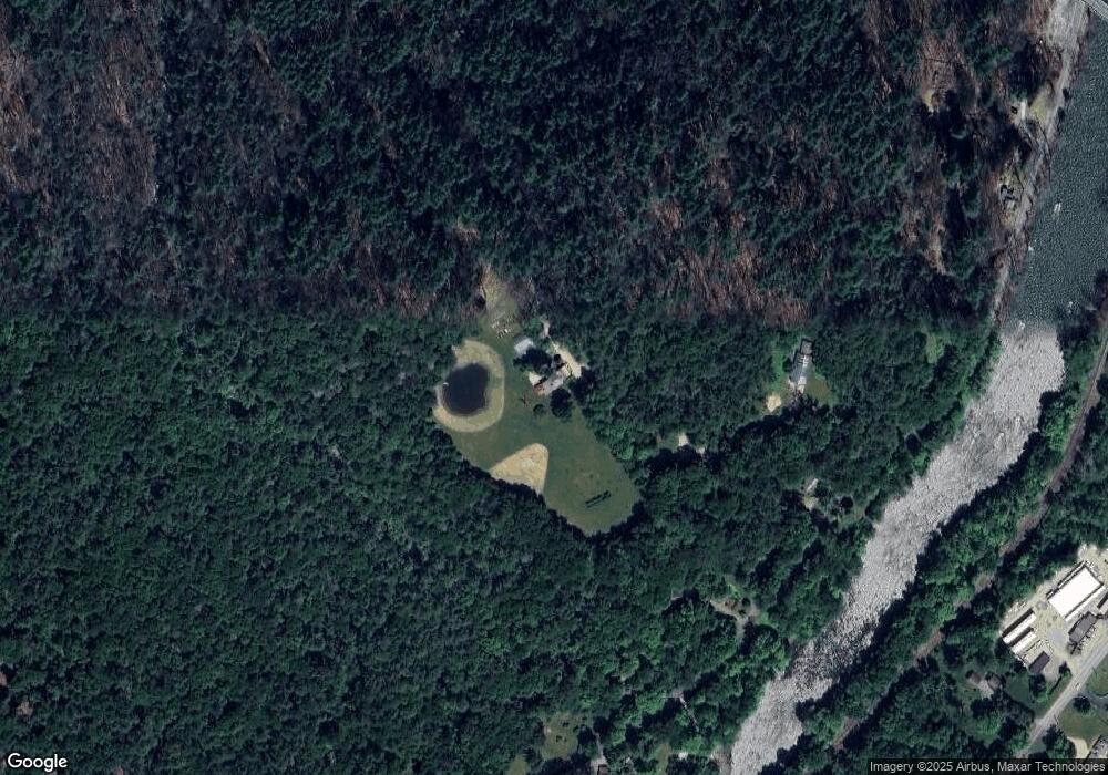
Map
Nearby Homes
- 70 Kent Rd S
- 50 Popple Swamp Rd
- 143 Whitcomb Hill Rd
- 11 Day Rd
- 9 Jewell St
- 0 Railroad St
- 25 Bowne Rd
- 130 Sharon Mountain Rd
- 233 Sharon-Goshen Turnpike
- 11 Old Paddock Ln
- 0 Stonewall Unit 39
- 0 W Woods Rd Unit 2
- 76 Fairchild Rd
- 102 Melius Rd
- 20 Kirk Rd
- 1 W Woods Rd
- 0 Swaller Hill Rd Unit 24065338
- 0 Swaller Hill Rd Unit 24141946
- 0 Swaller Hill Rd Unit 24117863
- 39 Swaller Hill Rd Unit lot 3
Your Personal Tour Guide
Ask me questions while you tour the home.