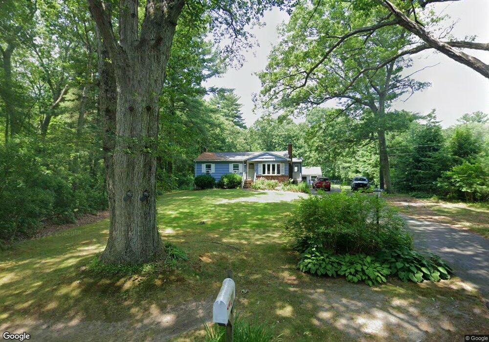
22 River St Middleboro, MA 02346
Estimated Value: $402,000 - $466,029
3
Beds
1
Bath
1,239
Sq Ft
$360/Sq Ft
Est. Value
About This Home
This home is located at 22 River St, Middleboro, MA 02346 and is currently estimated at $445,507, approximately $359 per square foot. 22 River St is a home located in Plymouth County with nearby schools including Mary K. Goode Elementary School and Chamberlain International School.
Ownership History
Date
Name
Owned For
Owner Type
Purchase Details
Closed on
Mar 4, 2003
Sold by
Turnbull Normand W
Bought by
Turnbull Joyce E
Current Estimated Value
Home Financials for this Owner
Home Financials are based on the most recent Mortgage that was taken out on this home.
Original Mortgage
$125,000
Outstanding Balance
$54,129
Interest Rate
5.98%
Mortgage Type
Purchase Money Mortgage
Estimated Equity
$391,378
Create a Home Valuation Report for This Property
The Home Valuation Report is an in-depth analysis detailing your home's value as well as a comparison with similar homes in the area
Home Values in the Area
Average Home Value in this Area
Purchase History
| Date | Buyer | Sale Price | Title Company |
|---|---|---|---|
| Turnbull Joyce E | $150,000 | -- |
Source: Public Records
Mortgage History
| Date | Status | Borrower | Loan Amount |
|---|---|---|---|
| Open | Turnbull Joyce E | $50,000 | |
| Open | Turnbull Joyce E | $125,000 |
Source: Public Records
Tax History
| Year | Tax Paid | Tax Assessment Tax Assessment Total Assessment is a certain percentage of the fair market value that is determined by local assessors to be the total taxable value of land and additions on the property. | Land | Improvement |
|---|---|---|---|---|
| 2025 | $5,274 | $393,300 | $173,300 | $220,000 |
| 2024 | $4,985 | $368,200 | $165,300 | $202,900 |
| 2023 | $4,715 | $331,100 | $165,300 | $165,800 |
| 2022 | $4,466 | $290,400 | $143,700 | $146,700 |
| 2021 | $4,352 | $267,500 | $126,100 | $141,400 |
| 2020 | $4,037 | $254,200 | $126,100 | $128,100 |
| 2019 | $3,819 | $246,700 | $126,100 | $120,600 |
| 2018 | $3,512 | $225,100 | $119,900 | $105,200 |
| 2017 | $3,443 | $218,300 | $115,300 | $103,000 |
| 2016 | $3,555 | $223,300 | $109,300 | $114,000 |
| 2015 | $3,330 | $211,000 | $110,000 | $101,000 |
Source: Public Records
Map
Nearby Homes
- Lot 000 Summer St
- 81 Pratt Ave
- 4303 Oak Point Dr Unit 4303OAK
- 3402 Island Dr
- 1808 Oak Point Dr Unit 1808OAK
- 2612 Oak Point Dr
- 2602 Pheasant Ln
- 3509 Fox Run Unit 3509FOX
- 73 Pratt Ave Unit LOT 126
- 73 Pratt Ave
- 48 Titicut Ave
- 402 Hastings Rd Unit 402HAS
- 44 Titicut Ave Unit Lot 45
- 40 Titicut Ave Unit Lot 46
- 37 Titicut Ave Unit Lot 34
- 2701 Simmons Rd Unit 2701SIM
- The Fenway Plan at Duxburrow Estates
- The Deerfield Plan at Duxburrow Estates
- The Cambria Plan at Duxburrow Estates
- The Fairfield Plan at Duxburrow Estates
Your Personal Tour Guide
Ask me questions while you tour the home.