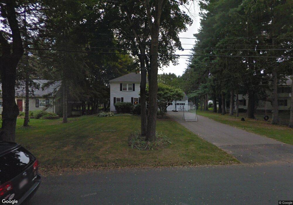
22 Riverdale Rd Concord, MA 01742
Estimated Value: $975,000 - $1,338,000
3
Beds
1
Bath
1,344
Sq Ft
$877/Sq Ft
Est. Value
About This Home
This home is located at 22 Riverdale Rd, Concord, MA 01742 and is currently estimated at $1,179,147, approximately $877 per square foot. 22 Riverdale Rd is a home located in Middlesex County with nearby schools including Willard School, Concord Middle School, and Concord Carlisle High School.
Ownership History
Date
Name
Owned For
Owner Type
Purchase Details
Closed on
Sep 27, 2018
Sold by
Magurn Albert C Est
Bought by
Walsh Lawrence F and Walsh Kathleen
Current Estimated Value
Home Financials for this Owner
Home Financials are based on the most recent Mortgage that was taken out on this home.
Original Mortgage
$712,500
Outstanding Balance
$621,342
Interest Rate
4.5%
Mortgage Type
New Conventional
Estimated Equity
$557,805
Purchase Details
Closed on
Jun 30, 1983
Bought by
Magurn Albert C
Create a Home Valuation Report for This Property
The Home Valuation Report is an in-depth analysis detailing your home's value as well as a comparison with similar homes in the area
Home Values in the Area
Average Home Value in this Area
Purchase History
| Date | Buyer | Sale Price | Title Company |
|---|---|---|---|
| Walsh Lawrence F | $750,000 | -- | |
| Magurn Albert C | -- | -- |
Source: Public Records
Mortgage History
| Date | Status | Borrower | Loan Amount |
|---|---|---|---|
| Open | Walsh Lawrence F | $712,500 |
Source: Public Records
Tax History
| Year | Tax Paid | Tax Assessment Tax Assessment Total Assessment is a certain percentage of the fair market value that is determined by local assessors to be the total taxable value of land and additions on the property. | Land | Improvement |
|---|---|---|---|---|
| 2025 | $130 | $979,500 | $601,300 | $378,200 |
| 2024 | $12,861 | $979,500 | $601,300 | $378,200 |
| 2023 | $11,751 | $906,700 | $546,700 | $360,000 |
| 2022 | $10,877 | $736,900 | $437,300 | $299,600 |
| 2021 | $10,531 | $715,400 | $437,300 | $278,100 |
| 2020 | $10,081 | $708,400 | $437,300 | $271,100 |
| 2019 | $10,459 | $737,100 | $424,500 | $312,600 |
| 2018 | $9,774 | $684,000 | $404,300 | $279,700 |
| 2017 | $9,433 | $670,400 | $385,000 | $285,400 |
| 2016 | $8,893 | $638,900 | $385,000 | $253,900 |
| 2015 | $8,360 | $585,000 | $356,600 | $228,400 |
Source: Public Records
Map
Nearby Homes
- 22 Belknap Ct
- 32 Thoreau St Unit 32
- 34 Thoreau St
- 34 Thoreau St Unit 34
- 265 Elsinore St
- 25 Bruce Rd
- 150 Hubbard St Unit B
- 59 Elm St
- 46 Sudbury Rd
- 165 Everett St
- 95 Hubbard St
- 106 Elm St
- 143 Everett St
- 381 Thoreau St
- 181 Stow St
- 236 Fairhaven Rd
- 25 Fairhaven Rd
- 49 Willard Common
- 70 Lexington Rd
- 29 Willard Common
- 24 Riverdale Rd
- 292 Sudbury Rd
- 29 Southfield Cir
- 282 Sudbury Rd
- 36 Riverdale Rd
- 000 Riverdale Rd
- 39 Southfield Cir
- 39 Southfield Cir Unit 1
- 308 Sudbury Rd
- 23 Riverdale Rd
- 23 Southfield Cir
- 291 Sudbury Rd
- 44 Riverdale Rd
- 33 Riverdale Rd
- 305 Sudbury Rd
- 270 Sudbury Rd
- 47 Southfield Cir
- 279 Sudbury Rd
- 22 Southfield Cir
- 319 Sudbury Rd
Your Personal Tour Guide
Ask me questions while you tour the home.