22 Riverside Dr Webster, MA 01570
Estimated Value: $432,563 - $454,000
3
Beds
2
Baths
1,662
Sq Ft
$268/Sq Ft
Est. Value
About This Home
This home is located at 22 Riverside Dr, Webster, MA 01570 and is currently estimated at $444,641, approximately $267 per square foot. 22 Riverside Dr is a home located in Worcester County with nearby schools including Park Avenue Elementary School, Webster Middle School, and Bartlett High School.
Ownership History
Date
Name
Owned For
Owner Type
Purchase Details
Closed on
Dec 21, 1999
Sold by
Ceppettelli Charles H and Churbuck Bruce H
Bought by
Wolak John E and Wolak Renee C
Current Estimated Value
Home Financials for this Owner
Home Financials are based on the most recent Mortgage that was taken out on this home.
Original Mortgage
$130,364
Interest Rate
7.81%
Mortgage Type
Purchase Money Mortgage
Create a Home Valuation Report for This Property
The Home Valuation Report is an in-depth analysis detailing your home's value as well as a comparison with similar homes in the area
Home Values in the Area
Average Home Value in this Area
Purchase History
| Date | Buyer | Sale Price | Title Company |
|---|---|---|---|
| Wolak John E | $139,144 | -- |
Source: Public Records
Mortgage History
| Date | Status | Borrower | Loan Amount |
|---|---|---|---|
| Open | Wolak John E | $38,500 | |
| Open | Wolak John E | $180,000 | |
| Closed | Wolak John E | $35,000 | |
| Closed | Wolak John E | $130,364 |
Source: Public Records
Tax History
| Year | Tax Paid | Tax Assessment Tax Assessment Total Assessment is a certain percentage of the fair market value that is determined by local assessors to be the total taxable value of land and additions on the property. | Land | Improvement |
|---|---|---|---|---|
| 2025 | $4,144 | $348,800 | $61,200 | $287,600 |
| 2024 | $4,074 | $334,500 | $58,900 | $275,600 |
| 2023 | $3,665 | $293,200 | $51,000 | $242,200 |
| 2022 | $3,544 | $253,900 | $49,500 | $204,400 |
| 2021 | $3,580 | $237,100 | $49,500 | $187,600 |
| 2020 | $3,440 | $228,400 | $49,500 | $178,900 |
| 2019 | $3,164 | $206,400 | $49,500 | $156,900 |
| 2018 | $3,006 | $195,300 | $49,500 | $145,800 |
| 2017 | $2,929 | $193,600 | $48,500 | $145,100 |
| 2016 | $2,858 | $188,800 | $48,500 | $140,300 |
| 2015 | $2,645 | $180,200 | $47,500 | $132,700 |
Source: Public Records
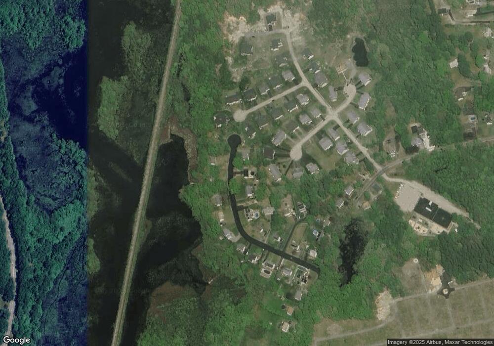
Map
Nearby Homes
- 24 Riverside Dr
- 20 Riverside Dr
- 12 Deerfield Dr W Unit B
- 12 Deerfield Dr W Unit A
- Lot 10 Deerfield Dr Unit A
- 23 Riverside Dr
- 25 Riverside Dr
- 16 Riverside Dr
- 21 Riverside Dr
- 9 Stockbridge St
- 12 Riverside Dr
- 8 Deerfield Dr W Unit B
- 8 Deerfield Dr W Unit A
- 11 Deerfield Dr W Unit B
- 11 Deerfield Dr W Unit A
- 11 Deerfield Dr W Unit A
- 11 Deerfield Dr W Unit B
- 8 Riverside Dr
- 14 Riverside Dr
- 19 Riverside Dr
Your Personal Tour Guide
Ask me questions while you tour the home.