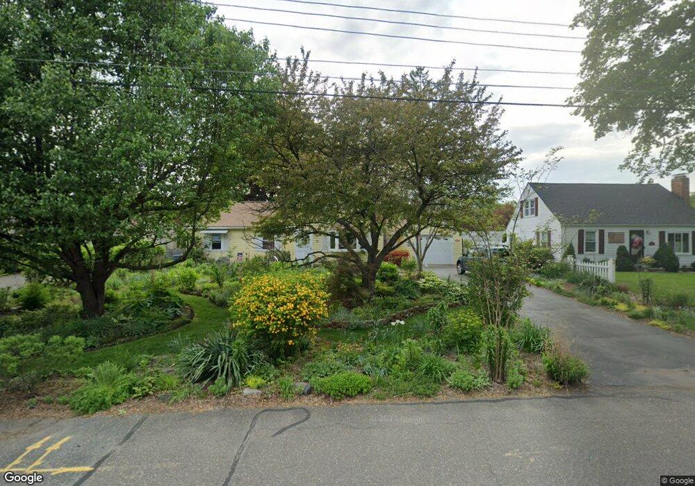
22 Robinson Rd West Springfield, MA 01089
Estimated Value: $299,000 - $343,000
3
Beds
1
Bath
1,170
Sq Ft
$282/Sq Ft
Est. Value
About This Home
This home is located at 22 Robinson Rd, West Springfield, MA 01089 and is currently estimated at $330,359, approximately $282 per square foot. 22 Robinson Rd is a home located in Hampden County with nearby schools including West Springfield High School and St Thomas The Apostle School.
Ownership History
Date
Name
Owned For
Owner Type
Purchase Details
Closed on
Dec 28, 1989
Sold by
Morrissey Marion R
Bought by
Friedrich Wayne M
Current Estimated Value
Home Financials for this Owner
Home Financials are based on the most recent Mortgage that was taken out on this home.
Original Mortgage
$96,000
Interest Rate
9.61%
Mortgage Type
Purchase Money Mortgage
Create a Home Valuation Report for This Property
The Home Valuation Report is an in-depth analysis detailing your home's value as well as a comparison with similar homes in the area
Home Values in the Area
Average Home Value in this Area
Purchase History
| Date | Buyer | Sale Price | Title Company |
|---|---|---|---|
| Friedrich Wayne M | $120,000 | -- |
Source: Public Records
Mortgage History
| Date | Status | Borrower | Loan Amount |
|---|---|---|---|
| Closed | Friedrich Wayne M | $92,000 | |
| Closed | Friedrich Wayne M | $96,000 |
Source: Public Records
Tax History
| Year | Tax Paid | Tax Assessment Tax Assessment Total Assessment is a certain percentage of the fair market value that is determined by local assessors to be the total taxable value of land and additions on the property. | Land | Improvement |
|---|---|---|---|---|
| 2025 | $4,155 | $279,400 | $123,200 | $156,200 |
| 2024 | $4,102 | $277,000 | $123,200 | $153,800 |
| 2023 | $3,939 | $253,500 | $123,200 | $130,300 |
| 2022 | $3,563 | $226,100 | $111,800 | $114,300 |
| 2021 | $3,461 | $204,800 | $102,700 | $102,100 |
| 2020 | $3,473 | $204,400 | $102,700 | $101,700 |
| 2019 | $3,467 | $204,400 | $102,700 | $101,700 |
| 2018 | $3,485 | $204,400 | $102,700 | $101,700 |
| 2017 | $3,485 | $204,400 | $102,700 | $101,700 |
| 2016 | $3,406 | $200,500 | $98,800 | $101,700 |
| 2015 | $3,350 | $197,200 | $96,800 | $100,400 |
| 2014 | $813 | $197,200 | $96,800 | $100,400 |
Source: Public Records
Map
Nearby Homes
- 1996 Westfield St
- 32 Glenview Dr
- 117 Sibley Ave
- 62 Talcott Ave
- lot A North St
- 65 Verdugo St
- 88 Verdugo St
- 112 North St
- 24 E View Dr
- 24-26 Howard St
- 240 Morton St
- 61 Clarence St
- 81 Chestnut St
- 999 N Street Extension
- 157 Cambridge St
- 67 Colemore St
- 1086 N Street Extension
- 128 Hampden St
- 120 Hampden St
- 25 Damato Way
- 30 Robinson Rd
- 16 Robinson Rd
- 166 Robinson Rd
- 174 Robinson Rd
- 160 Robinson Rd
- 38 Robinson Rd
- 19 Robinson Rd
- 27 Woodward Rd
- 152 Robinson Rd
- 35 Woodward Rd
- 5 Robinson Rd
- 29 Robinson Rd
- 46 Robinson Rd
- 35 Robinson Rd
- 146 Robinson Rd
- 169 Robinson Rd
- 161 Robinson Rd
- 175 Robinson Rd
- 153 Robinson Rd
- 43 Robinson Rd
Your Personal Tour Guide
Ask me questions while you tour the home.