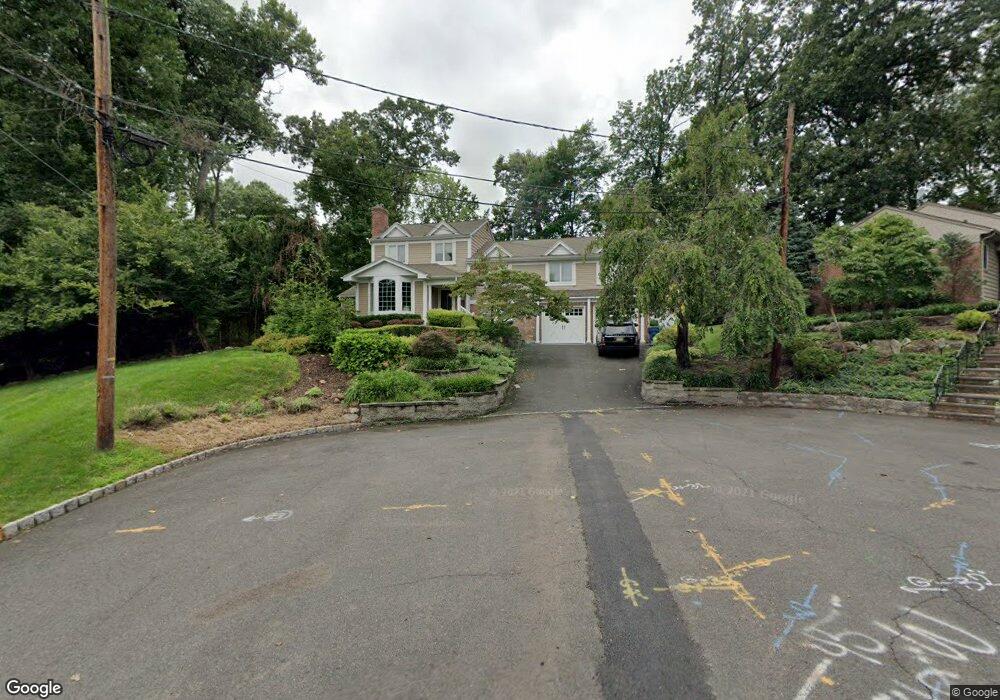
22 Rodman Ln Westfield, NJ 07090
Estimated Value: $1,224,445 - $1,441,000
--
Bed
--
Bath
2,797
Sq Ft
$476/Sq Ft
Est. Value
About This Home
This home is located at 22 Rodman Ln, Westfield, NJ 07090 and is currently estimated at $1,332,111, approximately $476 per square foot. 22 Rodman Ln is a home located in Union County with nearby schools including Beechwood School, Deerfield Elementary School, and Christopher Academy Montessori.
Ownership History
Date
Name
Owned For
Owner Type
Purchase Details
Closed on
Feb 24, 2020
Sold by
Masotti John R and Williams Masotti Carly
Bought by
Masotti John R
Current Estimated Value
Home Financials for this Owner
Home Financials are based on the most recent Mortgage that was taken out on this home.
Original Mortgage
$622,500
Outstanding Balance
$552,353
Interest Rate
3.6%
Mortgage Type
New Conventional
Estimated Equity
$779,758
Purchase Details
Closed on
Jul 8, 2011
Sold by
Alter Lisa and Confino Joel
Bought by
Masotti John R
Home Financials for this Owner
Home Financials are based on the most recent Mortgage that was taken out on this home.
Original Mortgage
$612,000
Interest Rate
4.49%
Mortgage Type
New Conventional
Purchase Details
Closed on
Jul 24, 2006
Sold by
Rosegate Associates Llc
Bought by
Alter Lisa and Confino Joel
Create a Home Valuation Report for This Property
The Home Valuation Report is an in-depth analysis detailing your home's value as well as a comparison with similar homes in the area
Home Values in the Area
Average Home Value in this Area
Purchase History
| Date | Buyer | Sale Price | Title Company |
|---|---|---|---|
| Masotti John R | -- | National Title Center Inc | |
| Masotti John R | $765,000 | Fidelity Natl Title Ins Co | |
| Alter Lisa | $999,000 | -- |
Source: Public Records
Mortgage History
| Date | Status | Borrower | Loan Amount |
|---|---|---|---|
| Open | Masotti John R | $622,500 | |
| Closed | Masotti John R | $612,000 |
Source: Public Records
Tax History Compared to Growth
Tax History
| Year | Tax Paid | Tax Assessment Tax Assessment Total Assessment is a certain percentage of the fair market value that is determined by local assessors to be the total taxable value of land and additions on the property. | Land | Improvement |
|---|---|---|---|---|
| 2025 | $14,774 | $720,700 | $301,300 | $419,400 |
| 2024 | $14,328 | $720,700 | $301,300 | $419,400 |
| 2023 | $14,328 | $720,700 | $301,300 | $419,400 |
| 2022 | $14,392 | $720,700 | $301,300 | $419,400 |
| 2021 | $14,155 | $720,700 | $301,300 | $419,400 |
| 2020 | $13,730 | $183,700 | $66,400 | $117,300 |
| 2019 | $13,801 | $183,700 | $66,400 | $117,300 |
| 2018 | $13,829 | $183,700 | $66,400 | $117,300 |
| 2017 | $13,728 | $183,700 | $66,400 | $117,300 |
| 2016 | $13,416 | $183,700 | $66,400 | $117,300 |
Source: Public Records
Map
Nearby Homes
- 869 Standish Ave
- 766 Oak Ave
- 1256 Poplar Ave
- 819 Standish Ave
- 508 N Chestnut St
- 11 Mountainview Dr
- 1463 Dunn Pkwy
- 645 Kimball Ave
- 112 Linden Ave
- 820 E Broad St
- 131 Wells St
- 740 Lawrence Ave
- 41 C Sandra Cir Unit C3
- 415 Highland Ave
- 149 Harrison Ave
- 559 Lawrence Ave
- 304 E Dudley Ave
- 333 Old Tote Rd
- 58 B Sandra Cir Unit 1
- 315 New Providence Rd