22 S 1700 W Pleasant Grove, UT 84062
Estimated Value: $441,000 - $491,000
4
Beds
3
Baths
2,036
Sq Ft
$231/Sq Ft
Est. Value
About This Home
This home is located at 22 S 1700 W, Pleasant Grove, UT 84062 and is currently estimated at $469,527, approximately $230 per square foot. 22 S 1700 W is a home located in Utah County with nearby schools including Barratt Elementary School, American Fork Junior High School, and American Fork High School.
Ownership History
Date
Name
Owned For
Owner Type
Purchase Details
Closed on
Jun 20, 2023
Sold by
Beames Jarvis
Bought by
Hyde Mary Ann
Current Estimated Value
Home Financials for this Owner
Home Financials are based on the most recent Mortgage that was taken out on this home.
Original Mortgage
$424,650
Outstanding Balance
$413,295
Interest Rate
6.39%
Mortgage Type
VA
Estimated Equity
$56,232
Purchase Details
Closed on
Aug 31, 2015
Sold by
Horton D R
Bought by
Choque Bryson M and Choque Franchesca B
Home Financials for this Owner
Home Financials are based on the most recent Mortgage that was taken out on this home.
Original Mortgage
$213,968
Interest Rate
3.86%
Mortgage Type
New Conventional
Create a Home Valuation Report for This Property
The Home Valuation Report is an in-depth analysis detailing your home's value as well as a comparison with similar homes in the area
Home Values in the Area
Average Home Value in this Area
Purchase History
| Date | Buyer | Sale Price | Title Company |
|---|---|---|---|
| Hyde Mary Ann | -- | Capstone Title And Escrow | |
| Choque Bryson M | -- | Provo Land Title Co |
Source: Public Records
Mortgage History
| Date | Status | Borrower | Loan Amount |
|---|---|---|---|
| Open | Hyde Mary Ann | $424,650 | |
| Previous Owner | Choque Bryson M | $213,968 |
Source: Public Records
Tax History Compared to Growth
Tax History
| Year | Tax Paid | Tax Assessment Tax Assessment Total Assessment is a certain percentage of the fair market value that is determined by local assessors to be the total taxable value of land and additions on the property. | Land | Improvement |
|---|---|---|---|---|
| 2025 | $2,068 | $235,730 | $63,000 | $365,600 |
| 2024 | $1,776 | $241,340 | $0 | $0 |
| 2023 | $1,776 | $217,030 | $0 | $0 |
| 2022 | $1,932 | $234,850 | $0 | $0 |
| 2021 | $1,664 | $308,000 | $46,200 | $261,800 |
| 2020 | $1,671 | $303,200 | $45,500 | $257,700 |
| 2019 | $1,487 | $279,100 | $41,900 | $237,200 |
| 2018 | $1,409 | $250,000 | $37,500 | $212,500 |
| 2017 | $1,234 | $116,600 | $0 | $0 |
| 2016 | $1,279 | $116,600 | $0 | $0 |
| 2015 | -- | $20,000 | $0 | $0 |
Source: Public Records
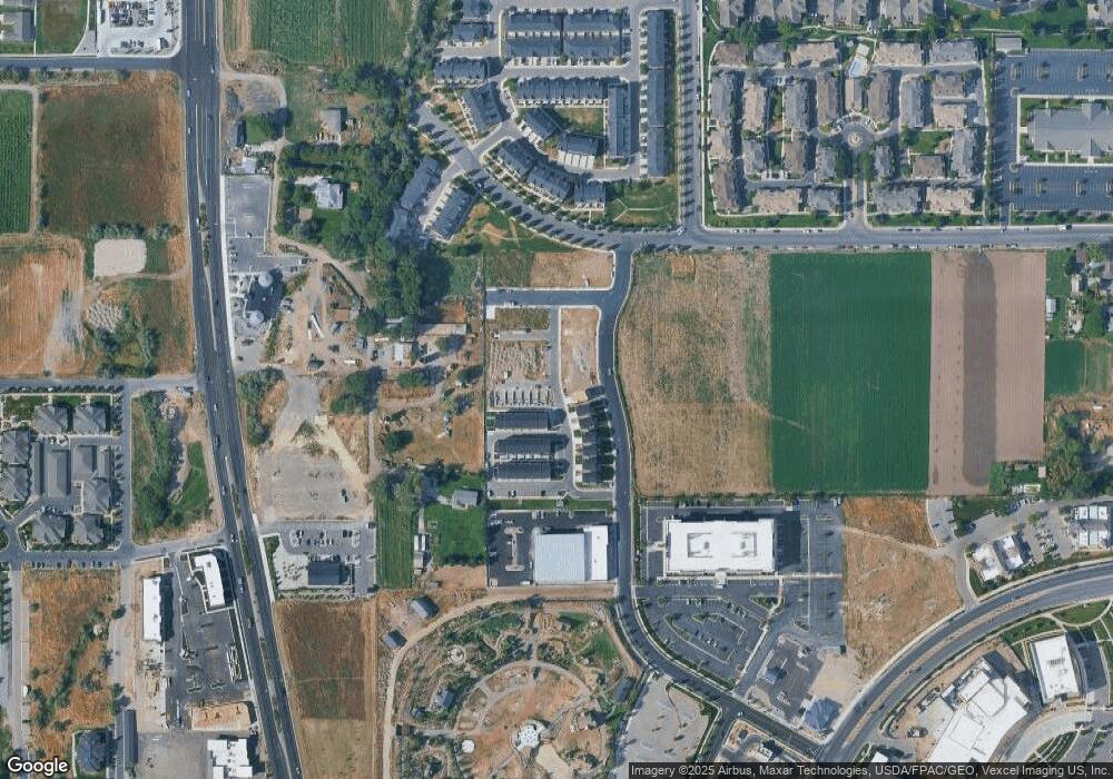
Map
Nearby Homes
- 1559 W 50 N
- 1584 W 110 N
- 1775 W 120 S Unit 54
- 1795 W 120 S Unit 52
- 29 S 2000 W
- The Hastings Plan at Tayside Farm - Townhome
- The Henley A Plan at Tayside Farm - Single Family Home
- The Denton Plan at Tayside Farm - Townhome
- The Henley B Plan at Tayside Farm - Single Family Home
- 128 S 1700 W Unit 12
- 1512 W 50 N
- 1542 W 110 N
- 1593 W 220 N
- 1429 W 110 N
- 1406 W 50 N
- 1541 W 250 N
- 293 N 1630 W
- 1525 W 300 N
- 1267 W 20 S
- 150 N 1300 W