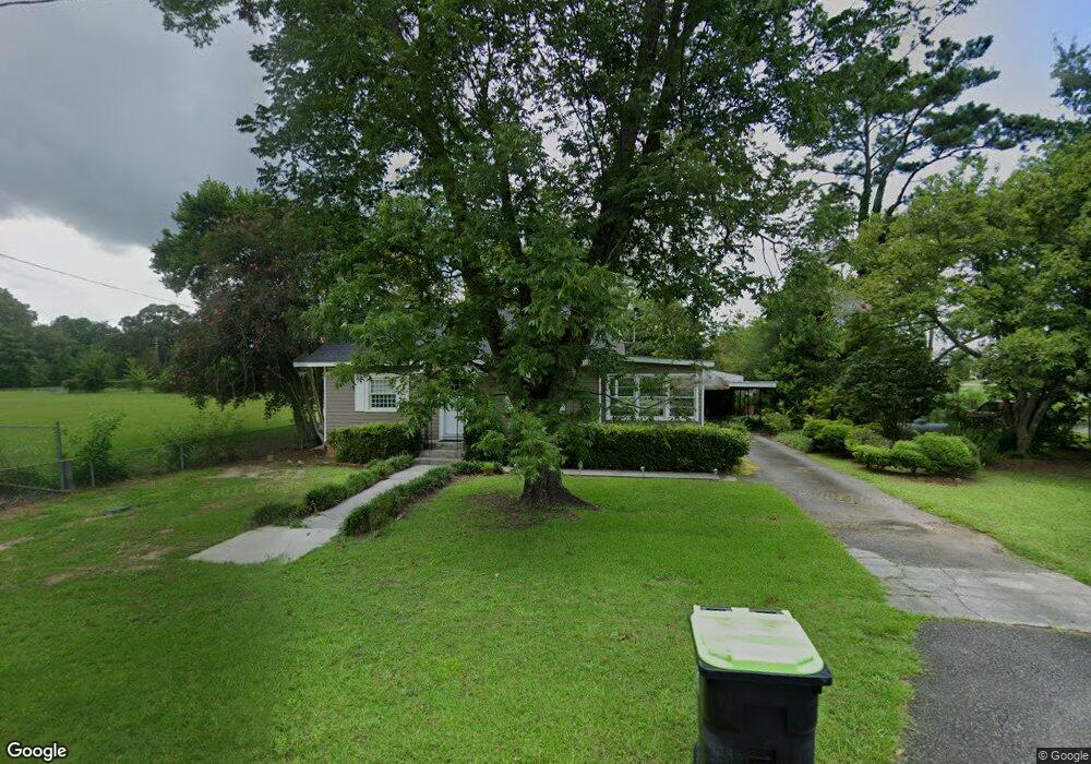
22 S Liberty St Reynolds, GA 31076
Estimated Value: $51,330 - $88,000
--
Bed
1
Bath
1,216
Sq Ft
$57/Sq Ft
Est. Value
About This Home
This home is located at 22 S Liberty St, Reynolds, GA 31076 and is currently estimated at $69,333, approximately $57 per square foot. 22 S Liberty St is a home located in Taylor County with nearby schools including Taylor County Upper Elementary School, Taylor County Primary School, and Taylor County Middle School.
Ownership History
Date
Name
Owned For
Owner Type
Purchase Details
Closed on
Mar 9, 2021
Sold by
Swearingen Angie Hobbs
Bought by
Bond Edward Kelly and Bond Elizabeth S
Current Estimated Value
Purchase Details
Closed on
Feb 17, 2021
Sold by
Hobbs Corene H
Bought by
Swearingen Angie Hobbs
Purchase Details
Closed on
Jan 1, 2014
Sold by
Hobbs Corene H
Bought by
Hobbs Corene H
Create a Home Valuation Report for This Property
The Home Valuation Report is an in-depth analysis detailing your home's value as well as a comparison with similar homes in the area
Home Values in the Area
Average Home Value in this Area
Purchase History
| Date | Buyer | Sale Price | Title Company |
|---|---|---|---|
| Bond Edward Kelly | $25,000 | -- | |
| Swearingen Angie Hobbs | -- | -- | |
| Hobbs Corene H | $52,200 | -- |
Source: Public Records
Tax History Compared to Growth
Tax History
| Year | Tax Paid | Tax Assessment Tax Assessment Total Assessment is a certain percentage of the fair market value that is determined by local assessors to be the total taxable value of land and additions on the property. | Land | Improvement |
|---|---|---|---|---|
| 2024 | $1,076 | $27,520 | $2,280 | $25,240 |
| 2023 | $887 | $21,880 | $2,280 | $19,600 |
| 2022 | $526 | $20,920 | $2,280 | $18,640 |
| 2021 | $315 | $19,760 | $2,280 | $17,480 |
| 2020 | $317 | $19,760 | $2,280 | $17,480 |
| 2019 | $311 | $19,400 | $2,280 | $17,120 |
| 2018 | $667 | $19,400 | $2,280 | $17,120 |
| 2017 | $345 | $21,150 | $5,130 | $16,020 |
| 2016 | $346 | $21,150 | $5,130 | $16,020 |
| 2015 | -- | $21,150 | $5,130 | $16,020 |
| 2014 | -- | $20,334 | $4,800 | $15,534 |
| 2013 | -- | $21,540 | $5,600 | $15,940 |
Source: Public Records
Map
Nearby Homes
- 46 E Calhoun St
- 29 Mimms St
- 25 W Marion St
- 67 N Collins St
- 9 Friar Tuck Rd
- 160 Underwood Rd
- 30 Potterville Main St
- 30 Pottervile Main St
- 296 Boxwood Rd
- Cummings Rd
- 708 Tommy Purvis Junior Rd
- 1800 Cummings Rd
- 0 Oak Ridge Dr
- 000 Avera Rd
- 246 Wilville Rd
- Parcel 1 Whipporwill Rd
- 1446 Avera Rd
- 60 Booker Montgomery Rd
- 2 Forest Ave
- 3091 Tribble Rd
- 310 E Calhoun St
- 52 E Calhoun St
- 203 S Collins St
- 406 E Calhoun St
- 32 S Liberty St
- 111 S Liberty St
- 33 S Liberty St
- 33 S Liberty St
- 58 E Calhoun St
- 9 S Collins St
- 55 E Calhoun St
- 38 E Haynes St
- 28 E Calhoun St
- 57 E Calhoun St
- 28 S Collins St
- 42 E Haynes St
- 64 E Calhoun St
- 39 S Collins St
- 3 S Collins St
- 40 S Liberty St