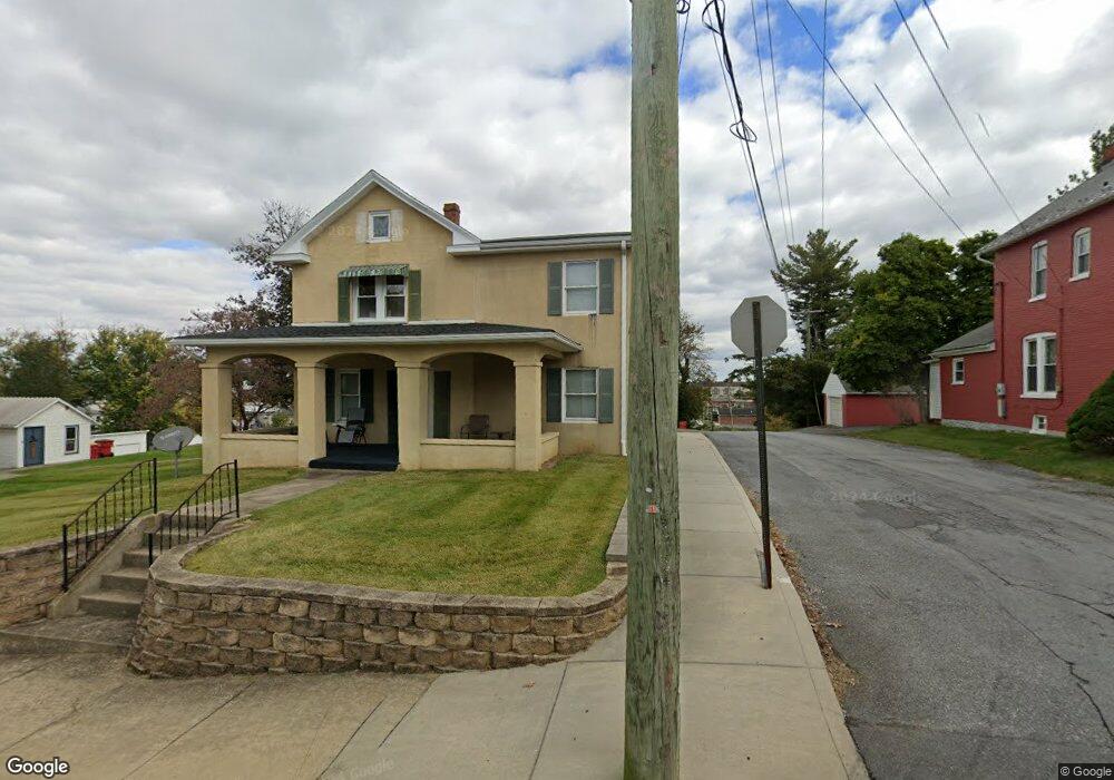
22 S Martin St Clear Spring, MD 21722
Estimated Value: $277,000 - $343,000
Studio
--
Bath
2,304
Sq Ft
$134/Sq Ft
Est. Value
About This Home
This home is located at 22 S Martin St, Clear Spring, MD 21722 and is currently estimated at $308,481, approximately $133 per square foot. 22 S Martin St is a home located in Washington County with nearby schools including Clear Spring Elementary School, Clear Spring Middle School, and Clear Spring High School.
Ownership History
Date
Name
Owned For
Owner Type
Purchase Details
Closed on
Oct 31, 2001
Sold by
Rush Hawbaker and Rush Nnie V
Bought by
Nancy Hawbaker
Current Estimated Value
Purchase Details
Closed on
Apr 27, 2000
Sold by
David Myers Mark and David Amy D
Bought by
Silver Plume Properties Llc
Purchase Details
Closed on
Jul 31, 1998
Sold by
Cabcar Llc
Bought by
David Myers Mark and David Amy D
Purchase Details
Closed on
Oct 31, 1997
Sold by
Beard Mary E
Bought by
Cabcar Llc
Create a Home Valuation Report for This Property
The Home Valuation Report is an in-depth analysis detailing your home's value as well as a comparison with similar homes in the area
Purchase History
| Date | Buyer | Sale Price | Title Company |
|---|---|---|---|
| Nancy Hawbaker | -- | -- | |
| Silver Plume Properties Llc | -- | -- | |
| David Myers Mark | $115,000 | -- | |
| Cabcar Llc | $85,000 | -- |
Source: Public Records
Mortgage History
| Date | Status | Borrower | Loan Amount |
|---|---|---|---|
| Closed | Cabcar Llc | -- |
Source: Public Records
Tax History
| Year | Tax Paid | Tax Assessment Tax Assessment Total Assessment is a certain percentage of the fair market value that is determined by local assessors to be the total taxable value of land and additions on the property. | Land | Improvement |
|---|---|---|---|---|
| 2025 | $1,718 | $208,300 | $0 | $0 |
| 2024 | $1,718 | $188,600 | $0 | $0 |
| 2023 | $1,539 | $168,900 | $43,400 | $125,500 |
| 2022 | $1,462 | $160,500 | $0 | $0 |
| 2021 | $1,422 | $152,100 | $0 | $0 |
| 2020 | $1,338 | $143,700 | $43,400 | $100,300 |
| 2019 | $1,344 | $143,700 | $43,400 | $100,300 |
| 2018 | $1,344 | $143,700 | $43,400 | $100,300 |
| 2017 | $1,426 | $152,500 | $0 | $0 |
| 2016 | -- | $152,500 | $0 | $0 |
| 2015 | -- | $152,500 | $0 | $0 |
| 2014 | $1,574 | $153,200 | $0 | $0 |
Source: Public Records
Map
Nearby Homes
- 13407 Rhodes Ct
- 0 Ashton Rd
- 11737 Ashton Rd
- 11868 National Pike
- 11705 Ashton Rd
- 12136 Big Pool Rd
- 11430 National Pike
- Block 139 Lot 56 Boo Blvd
- 13100 Saint Paul Rd
- Block 87 Lot 4 Pikers Peak Dr
- LOT 37 Hot Springs Ave
- Block 90 Lot 8 Ranger Rd
- Block 7 Lot 30 & 31 Campfire Blvd
- Block 8 Lot 16 & 17 Campfire Blvd
- Block 8 Lot 32 & 33 Ice Cream St
- 0 Block 10 Lot 2 Deadwood Dr Unit WVBE2040636
- Block 12 Lot 41 Ranger Rd
- Block 1 Lot 27 Boo Blvd
- Block 1 Lot 35 Boo Blvd
- Block 5 lots 6 and 7 Poison Oak
- 16 S Martin St
- 12 S Martin St
- 17 S Martin St
- 15 S Martin St
- 27 S Martin St
- 30 S Martin St
- 29 S Martin St
- 21 S Martin St
- 9 Mulberry St
- 11 S Martin St
- 10 Mulberry St
- 13 S Martin St
- 120 S Hawbaker Cir
- 120 Hawbaker Circle B S
- 107 Cumberland St
- 103 Cumberland St Unit 2
- 103 Cumberland St
- 120 S Hawbaker Cir
- 105 Cumberland St Unit 3
- 101 Cumberland St