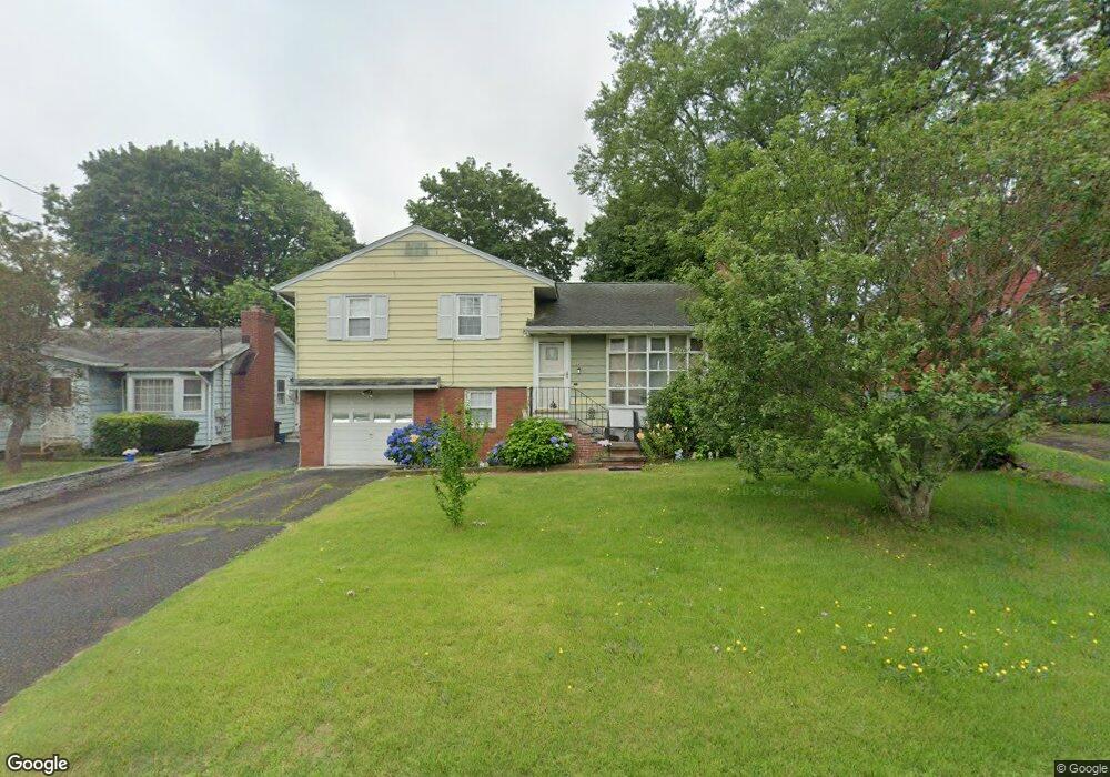
22 Saint Andrew Ave East Haven, CT 06512
Estimated Value: $291,000 - $361,000
3
Beds
6
Baths
1,120
Sq Ft
$293/Sq Ft
Est. Value
About This Home
This home is located at 22 Saint Andrew Ave, East Haven, CT 06512 and is currently estimated at $328,513, approximately $293 per square foot. 22 Saint Andrew Ave is a home located in New Haven County with nearby schools including East Haven High School, Cold Spring School, and Pathway School.
Ownership History
Date
Name
Owned For
Owner Type
Purchase Details
Closed on
Dec 10, 2001
Sold by
Dilustro Lucy A
Bought by
Dilustro Anna P
Current Estimated Value
Home Financials for this Owner
Home Financials are based on the most recent Mortgage that was taken out on this home.
Original Mortgage
$101,500
Interest Rate
6.67%
Purchase Details
Closed on
Jun 23, 1989
Sold by
Sparano Peter
Bought by
Dilustro Lucy A
Create a Home Valuation Report for This Property
The Home Valuation Report is an in-depth analysis detailing your home's value as well as a comparison with similar homes in the area
Home Values in the Area
Average Home Value in this Area
Purchase History
| Date | Buyer | Sale Price | Title Company |
|---|---|---|---|
| Dilustro Anna P | $114,000 | -- | |
| Dilustro Lucy A | $162,000 | -- |
Source: Public Records
Mortgage History
| Date | Status | Borrower | Loan Amount |
|---|---|---|---|
| Open | Dilustro Lucy A | $38,000 | |
| Closed | Dilustro Lucy A | $25,000 | |
| Open | Dilustro Lucy A | $171,255 | |
| Closed | Dilustro Lucy A | $101,500 |
Source: Public Records
Tax History Compared to Growth
Tax History
| Year | Tax Paid | Tax Assessment Tax Assessment Total Assessment is a certain percentage of the fair market value that is determined by local assessors to be the total taxable value of land and additions on the property. | Land | Improvement |
|---|---|---|---|---|
| 2025 | $5,042 | $150,780 | $45,570 | $105,210 |
| 2024 | $5,042 | $150,780 | $45,570 | $105,210 |
| 2023 | $4,704 | $150,780 | $45,570 | $105,210 |
| 2022 | $4,704 | $150,780 | $45,570 | $105,210 |
| 2021 | $3,912 | $114,220 | $38,540 | $75,680 |
| 2020 | $3,912 | $114,220 | $38,540 | $75,680 |
| 2019 | $3,703 | $114,220 | $38,540 | $75,680 |
| 2018 | $3,706 | $114,220 | $38,540 | $75,680 |
| 2017 | $3,604 | $114,220 | $38,540 | $75,680 |
| 2016 | $3,836 | $121,590 | $45,540 | $76,050 |
| 2015 | $3,836 | $121,590 | $45,540 | $76,050 |
| 2014 | $3,897 | $121,590 | $45,540 | $76,050 |
Source: Public Records
Map
Nearby Homes
- 133 Charter Oak Ave
- 14 Gerrish Ave
- 34 Hughes St
- 18 Lenox St
- 31 Forest St
- 364 Main St Unit 47
- 66 Elizabeth Ann Dr
- 17 Guilford Ct
- 4 Laura Ln
- 62 Huntington Rd Unit 7
- 47 Guilford Ct
- 112 Harrington Ave
- 120 Harrington Ave
- 45 Huntington Ave
- 93 Kimberly Ave
- 32 Huntington Ave
- 44 Huntington Ave
- 366 Burr St
- 458 Thompson Ave
- 71 High St
- 18 Saint Andrew Ave
- 26 Saint Andrew Ave
- 14 Saint Andrew Ave
- 30 Saint Andrew Ave
- 21 Gordon St
- 17 Gordon St
- 25 Gordon St
- 23 Saint Andrew Ave
- 10 Saint Andrew Ave
- 36 Pardee Place Extension
- 31 Gordon St
- 6 Saint Andrew Ave
- 40 Saint Andrew Ave
- 2-4 Saint Andrew Ave
- 37 Gordon St
- 15 Saint Andrew Ave
- 2 Saint Andrew Ave
- 3 Gordon St
- 224A Cosey Beach Ave