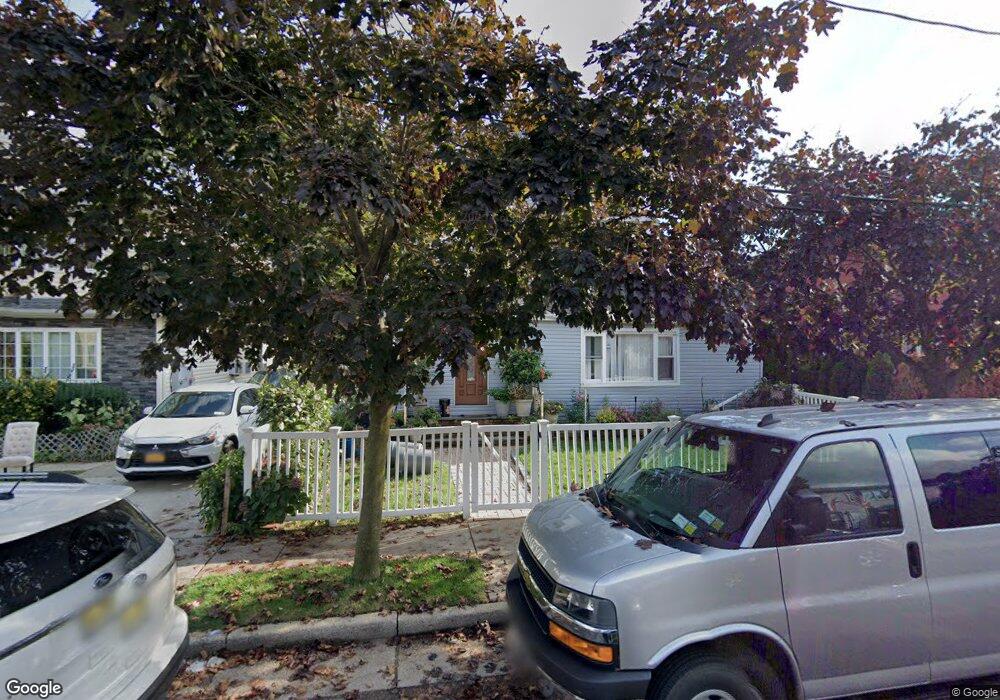
22 Sammis Place Hempstead, NY 11550
Estimated Value: $763,000
Studio
2
Baths
3,140
Sq Ft
$243/Sq Ft
Est. Value
About This Home
This home is located at 22 Sammis Place, Hempstead, NY 11550 and is currently estimated at $763,000, approximately $242 per square foot. 22 Sammis Place is a home located in Nassau County with nearby schools including The Academy Charter School, St Joseph Elementary School, and Crescent School.
Ownership History
Date
Name
Owned For
Owner Type
Purchase Details
Closed on
Aug 29, 2006
Sold by
Benitez Jose
Current Estimated Value
Purchase Details
Closed on
Oct 27, 2003
Sold by
Herrera Jose
Purchase Details
Closed on
Apr 3, 1995
Sold by
Haynes Leon Est
Bought by
Herrera Jose and Herrera Benito
Home Financials for this Owner
Home Financials are based on the most recent Mortgage that was taken out on this home.
Original Mortgage
$115,430
Interest Rate
8.34%
Create a Home Valuation Report for This Property
The Home Valuation Report is an in-depth analysis detailing your home's value as well as a comparison with similar homes in the area
Home Values in the Area
Average Home Value in this Area
Purchase History
| Date | Buyer | Sale Price | Title Company |
|---|---|---|---|
| -- | $460,000 | -- | |
| -- | $328,000 | -- | |
| Herrera Jose | $119,000 | -- | |
| Herrera Jose | $119,000 | -- |
Source: Public Records
Mortgage History
| Date | Status | Borrower | Loan Amount |
|---|---|---|---|
| Previous Owner | Herrera Jose | $115,430 |
Source: Public Records
Tax History
| Year | Tax Paid | Tax Assessment Tax Assessment Total Assessment is a certain percentage of the fair market value that is determined by local assessors to be the total taxable value of land and additions on the property. | Land | Improvement |
|---|---|---|---|---|
| 2025 | $9,009 | $355 | $108 | $247 |
| 2024 | $1,001 | $355 | $108 | $247 |
| 2023 | $10,392 | $355 | $108 | $247 |
| 2022 | $10,392 | $355 | $108 | $247 |
| 2021 | $16,735 | $344 | $105 | $239 |
| 2020 | $13,174 | $847 | $340 | $507 |
| 2019 | $14,288 | $847 | $340 | $507 |
| 2018 | $13,734 | $847 | $0 | $0 |
| 2017 | $11,066 | $847 | $340 | $507 |
| 2016 | $12,548 | $847 | $340 | $507 |
| 2015 | $1,418 | $847 | $340 | $507 |
| 2014 | $1,418 | $847 | $340 | $507 |
| 2013 | $1,313 | $847 | $340 | $507 |
Source: Public Records
Map
Nearby Homes
- 19 Sammis Place
- 69 Hewlett St
- 32 Stowe Place
- 79 Union Place
- 248 Main St
- 118 Morrell St
- 17 Meadow St
- 8 3rd Place
- 76 Van Cott Ave
- 12 Lafayette Ave
- 127 2nd St Unit D1
- 36 Hamilton Place Unit 3-J
- 20 Wendell St Unit A16
- 20 Wendell St Unit 18A
- 27 Midwood St
- 26 Hamilton Place Unit A-2
- 24 Hamilton Place Unit F-1
- 12 Hamilton Place Unit B5
- 12 Hamilton Place Unit B6
- 200 Hilton Ave Unit 66
- 18 Sammis Place Unit 16
- 26 Sammis Place
- 30 Sammis Place
- 19 Miller Place
- 15 Miller Place
- 23 Miller Place
- 11 Miller Place
- 27 Miller Place
- 32 Sammis Place
- 15 Sammis Place
- 21 Sammis Place
- 23 Sammis Place
- 31 Miller Place
- 38 Sammis Place
- 27 Sammis Place
- 27 Sammis Place
- 42 Sammis Place
- 42 Sammis Place Unit 44
- 35 Miller Place
- 29 Sammis Place
Your Personal Tour Guide
Ask me questions while you tour the home.