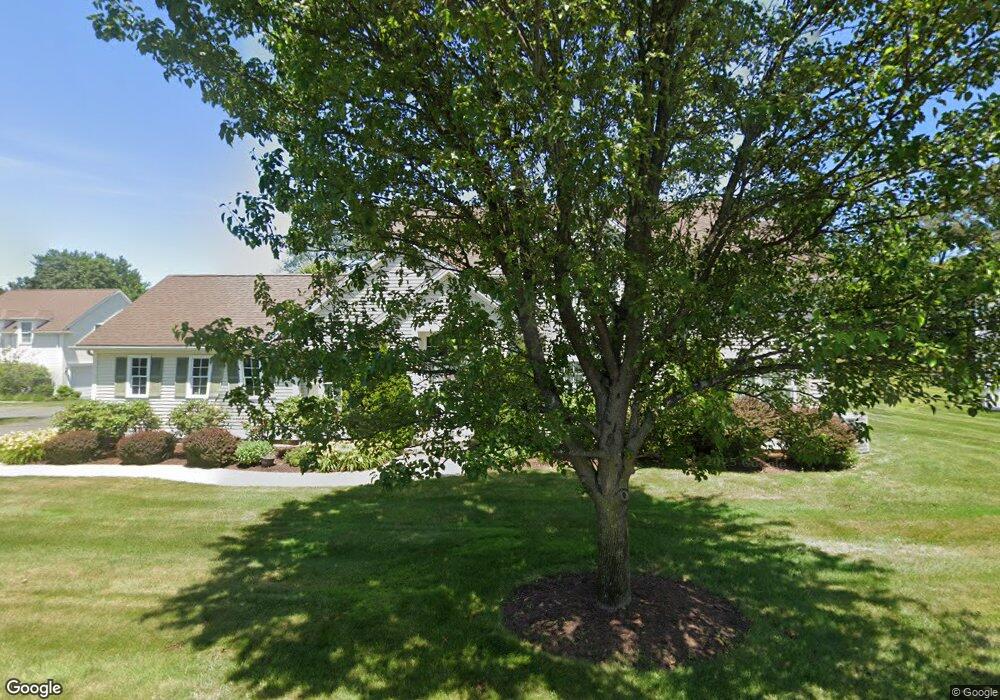
22 Sandalwood Dr Wilbraham, MA 01095
Estimated Value: $592,039 - $690,000
2
Beds
3
Baths
2,332
Sq Ft
$273/Sq Ft
Est. Value
About This Home
This home is located at 22 Sandalwood Dr, Wilbraham, MA 01095 and is currently estimated at $636,013, approximately $272 per square foot. 22 Sandalwood Dr is a home located in Hampden County with nearby schools including Minnechaug Regional High School, St. John the Baptist School, and Wilbraham & Monson Academy.
Ownership History
Date
Name
Owned For
Owner Type
Purchase Details
Closed on
Dec 29, 2009
Sold by
Mile Oak Land Holding and Pecoy Kent W
Bought by
Wdowiak Francis W and Wdowiak Maryann
Current Estimated Value
Home Financials for this Owner
Home Financials are based on the most recent Mortgage that was taken out on this home.
Original Mortgage
$150,000
Outstanding Balance
$98,334
Interest Rate
4.92%
Mortgage Type
Purchase Money Mortgage
Estimated Equity
$537,679
Create a Home Valuation Report for This Property
The Home Valuation Report is an in-depth analysis detailing your home's value as well as a comparison with similar homes in the area
Home Values in the Area
Average Home Value in this Area
Purchase History
| Date | Buyer | Sale Price | Title Company |
|---|---|---|---|
| Wdowiak Francis W | $379,900 | -- |
Source: Public Records
Mortgage History
| Date | Status | Borrower | Loan Amount |
|---|---|---|---|
| Open | Wdowiak Francis W | $150,000 |
Source: Public Records
Tax History Compared to Growth
Tax History
| Year | Tax Paid | Tax Assessment Tax Assessment Total Assessment is a certain percentage of the fair market value that is determined by local assessors to be the total taxable value of land and additions on the property. | Land | Improvement |
|---|---|---|---|---|
| 2025 | $8,699 | $486,500 | $0 | $486,500 |
| 2024 | $7,870 | $425,400 | $0 | $425,400 |
| 2023 | $8,130 | $379,400 | $0 | $379,400 |
| 2022 | $8,130 | $396,800 | $0 | $396,800 |
| 2021 | $8,475 | $369,100 | $0 | $369,100 |
| 2020 | $8,260 | $369,100 | $0 | $369,100 |
| 2019 | $8,046 | $369,100 | $0 | $369,100 |
| 2018 | $8,159 | $360,400 | $0 | $360,400 |
| 2017 | $7,907 | $359,400 | $0 | $359,400 |
| 2016 | $7,964 | $368,700 | $0 | $368,700 |
| 2015 | $7,675 | $367,600 | $0 | $367,600 |
Source: Public Records
Map
Nearby Homes
- 26 Sandalwood Dr
- 111 Sandalwood Dr Unit site 00
- 57 Sandalwood Dr Unit site 61
- 103 Sandalwood Dr Unit site 00
- 15 Sandalwood Dr Unit site 00
- 99 Sandalwood Dr Unit site 00
- 10 Forest Glade Dr
- 92 Sandalwood Dr
- 11 Hickory Hill Dr
- 4 Lance Ln
- 344 Stony Hill Rd
- 8 Glenn Dr
- 6V Melikian Dr
- 32 Lodge Ln Unit 32
- 11 Wellfleet Dr
- 24 Lodge Ln Unit 24
- 19 Linwood Dr
- 116 Cherry Dr Unit 116
- 34 Blacksmith Rd
- 2205 Boston Rd Unit I 82
- 24 Sandalwood Dr
- 24 Sandalwood Dr Unit 24
- 28 Sandalwood Dr Unit 72
- 28 Sandalwood Dr
- 18 Sandalwood Dr Unit 18
- 18 Sandalwood Dr
- 18 Sandalwood Dr Unit 18
- 16 Sandalwood Dr
- 17 Fernwood Dr
- 32 Sandalwood Dr Unit 32
- 15 Fernwood Dr
- 14 Sandalwood Dr Unit 14
- 19 Fernwood Dr
- 5 Sandalwood Dr Unit 104
- 27 Cypress Ln
- 25 Cypress Ln
- 23 Cypress Ln
- 25 Cypress Ln Unit 2
- 23 Cypress Ln Unit 23
- 25 Cypress Ln Unit 25