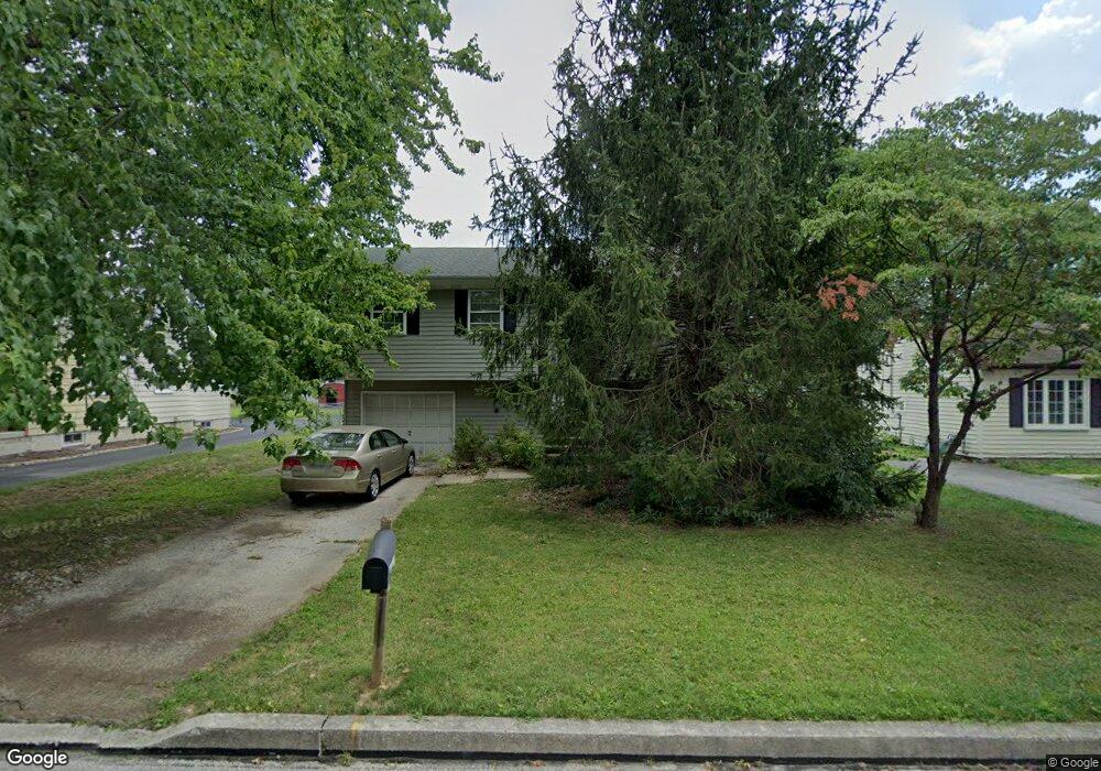
22 Scott St Hanover, PA 17331
Estimated Value: $223,000 - $296,000
3
Beds
2
Baths
1,320
Sq Ft
$201/Sq Ft
Est. Value
About This Home
This home is located at 22 Scott St, Hanover, PA 17331 and is currently estimated at $264,939, approximately $200 per square foot. 22 Scott St is a home located in York County with nearby schools including South Western Senior High School, St Joseph Catholic School, and Delone Catholic High School.
Ownership History
Date
Name
Owned For
Owner Type
Purchase Details
Closed on
Feb 16, 2016
Sold by
Brannock R Steven G and Tammy E Dofflemyer R
Bought by
Dofflemyer E Tammy E
Current Estimated Value
Purchase Details
Closed on
Jul 10, 2007
Sold by
Smith Nelson W and Smith Tina
Bought by
Brannock Steven G and Dofflemyer Tammy E
Home Financials for this Owner
Home Financials are based on the most recent Mortgage that was taken out on this home.
Original Mortgage
$205,000
Interest Rate
6.48%
Mortgage Type
Purchase Money Mortgage
Purchase Details
Closed on
Oct 17, 2003
Sold by
Orewiler Kirby J and Orewiler Sheri L
Bought by
Smith Nelson W
Purchase Details
Closed on
Aug 17, 1998
Sold by
Bowman Charles W and Bowman Carrie J
Bought by
Orewiler Kirby J
Home Financials for this Owner
Home Financials are based on the most recent Mortgage that was taken out on this home.
Original Mortgage
$93,303
Interest Rate
6.86%
Mortgage Type
FHA
Create a Home Valuation Report for This Property
The Home Valuation Report is an in-depth analysis detailing your home's value as well as a comparison with similar homes in the area
Home Values in the Area
Average Home Value in this Area
Purchase History
| Date | Buyer | Sale Price | Title Company |
|---|---|---|---|
| Dofflemyer E Tammy E | -- | None Available | |
| Brannock Steven G | $205,000 | None Available | |
| Smith Nelson W | $133,900 | -- | |
| Orewiler Kirby J | $93,400 | -- |
Source: Public Records
Mortgage History
| Date | Status | Borrower | Loan Amount |
|---|---|---|---|
| Previous Owner | Brannock Steven G | $205,000 | |
| Previous Owner | Orewiler Kirby J | $93,303 |
Source: Public Records
Tax History
| Year | Tax Paid | Tax Assessment Tax Assessment Total Assessment is a certain percentage of the fair market value that is determined by local assessors to be the total taxable value of land and additions on the property. | Land | Improvement |
|---|---|---|---|---|
| 2025 | $4,041 | $119,910 | $31,090 | $88,820 |
| 2024 | $4,041 | $119,910 | $31,090 | $88,820 |
| 2023 | $3,969 | $119,910 | $31,090 | $88,820 |
| 2022 | $3,884 | $119,910 | $31,090 | $88,820 |
| 2021 | $3,672 | $119,910 | $31,090 | $88,820 |
| 2020 | $3,672 | $119,910 | $31,090 | $88,820 |
| 2019 | $3,601 | $119,910 | $31,090 | $88,820 |
| 2018 | $3,553 | $119,910 | $31,090 | $88,820 |
| 2017 | $3,471 | $119,910 | $31,090 | $88,820 |
| 2016 | $0 | $119,910 | $31,090 | $88,820 |
| 2015 | -- | $119,910 | $31,090 | $88,820 |
| 2014 | -- | $119,910 | $31,090 | $88,820 |
Source: Public Records
Map
Nearby Homes
- 31 Sherman St
- 150 Sherman St
- 326 Park Heights Blvd
- 15 Westminster Ave
- 121 Flint Dr
- 59 Bright Ln Unit 11
- 511 W Hanover St
- 419 Frederick St
- 904 Cooper Rd Unit 2
- 69 Bright Ln Unit 7
- 18 Beck Mill Rd
- 66 Bright Ln Unit 23
- 109 Onyx Dr Unit 38
- 111 Onyx Dr Unit 55
- 319 2nd Ave
- 123 Quartz Ridge Rd Unit 28
- 416 S High St
- 222 2nd Ave
- 414 S High St
- 226 1/2 Poplar St
Your Personal Tour Guide
Ask me questions while you tour the home.