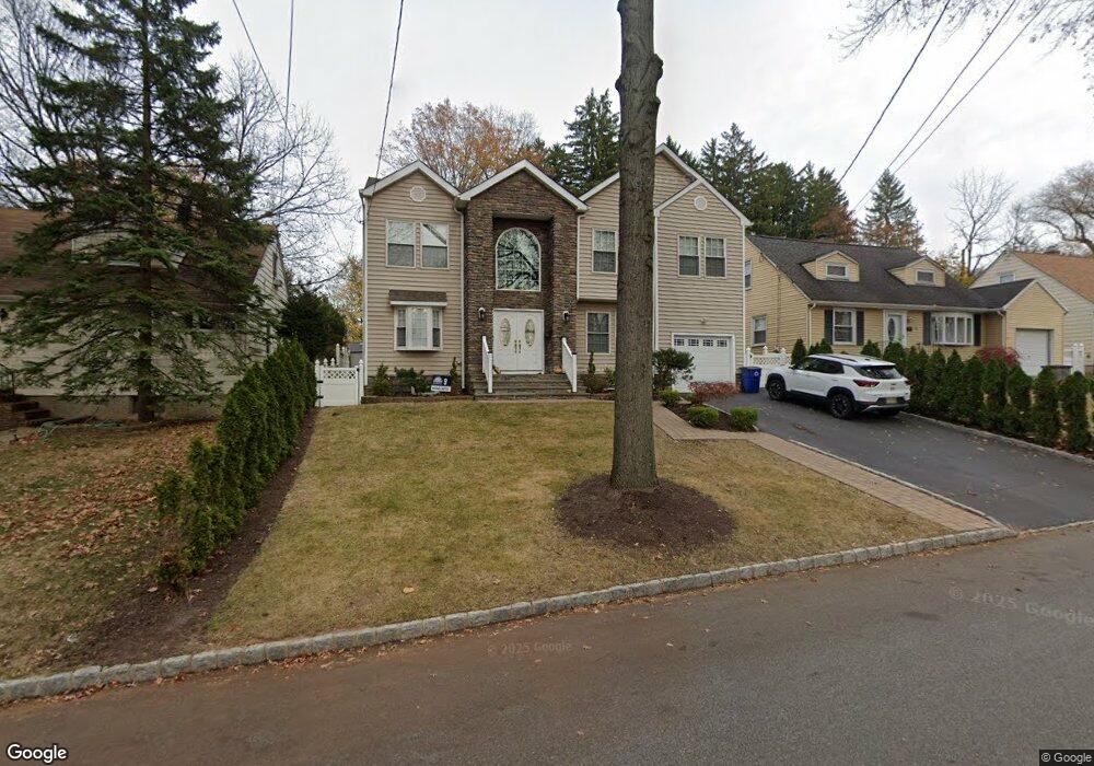
22 Seaman Rd West Orange, NJ 07052
Estimated Value: $595,000 - $701,000
--
Bed
--
Bath
1,430
Sq Ft
$451/Sq Ft
Est. Value
About This Home
This home is located at 22 Seaman Rd, West Orange, NJ 07052 and is currently estimated at $644,636, approximately $450 per square foot. 22 Seaman Rd is a home located in Essex County with nearby schools including West Orange High School, Our Lady of the Lake School, and Mount Carmel Guild Academy.
Ownership History
Date
Name
Owned For
Owner Type
Purchase Details
Closed on
Aug 6, 2008
Sold by
Walker Carol and Walker Raymond
Bought by
Battle Curtis W and Battle April L
Current Estimated Value
Home Financials for this Owner
Home Financials are based on the most recent Mortgage that was taken out on this home.
Original Mortgage
$156,400
Outstanding Balance
$103,002
Interest Rate
6.4%
Mortgage Type
Purchase Money Mortgage
Estimated Equity
$541,634
Purchase Details
Closed on
Nov 3, 1999
Sold by
Mcnamara John
Bought by
Walker Raymond and Walker Carol
Home Financials for this Owner
Home Financials are based on the most recent Mortgage that was taken out on this home.
Original Mortgage
$128,000
Interest Rate
7.76%
Create a Home Valuation Report for This Property
The Home Valuation Report is an in-depth analysis detailing your home's value as well as a comparison with similar homes in the area
Home Values in the Area
Average Home Value in this Area
Purchase History
| Date | Buyer | Sale Price | Title Company |
|---|---|---|---|
| Battle Curtis W | $170,000 | Stewart Title Guaranty Co | |
| Walker Raymond | $160,000 | -- |
Source: Public Records
Mortgage History
| Date | Status | Borrower | Loan Amount |
|---|---|---|---|
| Open | Battle Curtis W | $156,400 | |
| Previous Owner | Walker Raymond | $128,000 |
Source: Public Records
Tax History Compared to Growth
Tax History
| Year | Tax Paid | Tax Assessment Tax Assessment Total Assessment is a certain percentage of the fair market value that is determined by local assessors to be the total taxable value of land and additions on the property. | Land | Improvement |
|---|---|---|---|---|
| 2025 | $13,238 | $635,800 | $197,500 | $438,300 |
| 2024 | $13,238 | $287,900 | $152,600 | $135,300 |
| 2022 | $12,774 | $287,900 | $152,600 | $135,300 |
| 2021 | $12,535 | $287,900 | $152,600 | $135,300 |
| 2020 | $12,334 | $287,900 | $152,600 | $135,300 |
| 2019 | $11,980 | $287,900 | $152,600 | $135,300 |
| 2018 | $11,625 | $287,900 | $152,600 | $135,300 |
| 2017 | $11,476 | $287,900 | $152,600 | $135,300 |
| 2016 | $11,199 | $287,900 | $152,600 | $135,300 |
| 2015 | $10,989 | $287,900 | $152,600 | $135,300 |
| 2014 | $10,773 | $287,900 | $152,600 | $135,300 |
Source: Public Records
Map
Nearby Homes
- 3 Mcneal Ct
- 57 Woodland Ave
- 9 Bromley Dr
- 4 Mcmanus Ct Unit 2
- 4 Mcmanus Ct
- 3 Bachman Terrace
- 1 Bachman Terrace
- 537 Eagle Rock Ave
- 35 Waldeck Ct
- 8 Phyllis Rd
- 730-732 Eagle Rock Ave
- 181 Pleasant Valley Way
- 17 Johnson Rd
- 30 Fitzrandolph Rd
- 35 Fitzrandolph Rd
- 34 Fitzrandolph Rd
- 285 Prospect Ave
- 33 Robertson Rd
- 28 Blackburne Terrace
- 10 Smith Manor Blvd Unit 121