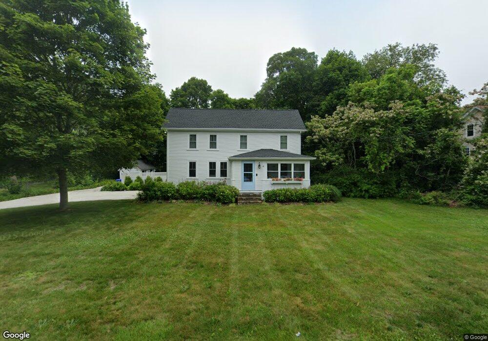
22 Shore Rd Buzzards Bay, MA 02532
Estimated Value: $569,000 - $766,000
3
Beds
2
Baths
1,810
Sq Ft
$350/Sq Ft
Est. Value
About This Home
This home is located at 22 Shore Rd, Buzzards Bay, MA 02532 and is currently estimated at $632,596, approximately $349 per square foot. 22 Shore Rd is a home located in Barnstable County with nearby schools including Bourne High School, St Margaret Regional School, and Cadence Academy Preschool - Bourne.
Ownership History
Date
Name
Owned For
Owner Type
Purchase Details
Closed on
Jun 1, 2020
Sold by
Tsitsos Deborah A
Bought by
Tsitsos Andreas and Tsitsos Nicole
Current Estimated Value
Purchase Details
Closed on
Aug 7, 2007
Sold by
Digiano Deborah A and Tsitsos Deborah A
Bought by
Tsitsos Deborah A
Home Financials for this Owner
Home Financials are based on the most recent Mortgage that was taken out on this home.
Original Mortgage
$305,500
Interest Rate
6.73%
Mortgage Type
Purchase Money Mortgage
Purchase Details
Closed on
Jul 8, 1994
Sold by
Banning Thomas J and Banning Lori J
Bought by
Digiano Deborah A
Create a Home Valuation Report for This Property
The Home Valuation Report is an in-depth analysis detailing your home's value as well as a comparison with similar homes in the area
Purchase History
| Date | Buyer | Sale Price | Title Company |
|---|---|---|---|
| Tsitsos Andreas | $344,000 | None Available | |
| Tsitsos Andreas | $344,000 | None Available | |
| Tsitsos Deborah A | $10,000 | -- | |
| Tsitsos Deborah A | $10,000 | -- | |
| Tsitsos Deborah A | $10,000 | -- | |
| Digiano Deborah A | $126,500 | -- | |
| Digiano Deborah A | $126,500 | -- |
Source: Public Records
Mortgage History
| Date | Status | Borrower | Loan Amount |
|---|---|---|---|
| Previous Owner | Tsitsos Deborah A | $305,500 |
Source: Public Records
Tax History Compared to Growth
Tax History
| Year | Tax Paid | Tax Assessment Tax Assessment Total Assessment is a certain percentage of the fair market value that is determined by local assessors to be the total taxable value of land and additions on the property. | Land | Improvement |
|---|---|---|---|---|
| 2025 | $3,785 | $484,600 | $161,800 | $322,800 |
| 2024 | $3,911 | $487,600 | $154,100 | $333,500 |
| 2023 | $3,938 | $447,000 | $151,500 | $295,500 |
| 2022 | $3,846 | $381,200 | $134,100 | $247,100 |
| 2021 | $3,740 | $347,300 | $122,000 | $225,300 |
| 2020 | $3,257 | $303,300 | $120,800 | $182,500 |
| 2019 | $3,082 | $293,200 | $120,800 | $172,400 |
| 2018 | $2,966 | $281,400 | $115,100 | $166,300 |
| 2017 | $2,812 | $273,000 | $108,300 | $164,700 |
| 2016 | $2,716 | $267,300 | $108,300 | $159,000 |
| 2015 | $2,577 | $255,900 | $96,900 | $159,000 |
Source: Public Records
Map
Nearby Homes
- 44 Cotuit Rd
- 60 Sandwich Rd
- 38 Old Bridge Rd
- 90-92 Sandwich Rd Unit 2
- 6 Honora Ct
- 46 Holt Rd Unit A
- 151 - 153 Main St
- 90-92 Sandwich Rd Unit 9C
- 13 Laurel Hill Ct
- 304 Main St
- 5 Sea Knoll Ct
- 26 Carnoustie Rd
- 23 Alderberry Rd
- 48 Maple St
- 1 Hollyhock Knoll Ct Unit 1
- 4 Hollyhock Knoll Ct Unit 4
- 4 Hollyhock Knoll Ct Unit 4
- 203 County Rd
- 12 Turnberry Rd Unit 12
- 40-A Lafayette Ave