22 Splinter Ln MacHiasport, ME 04655
Estimated Value: $462,339 - $594,000
3
Beds
2
Baths
2,204
Sq Ft
$245/Sq Ft
Est. Value
About This Home
This home is located at 22 Splinter Ln, MacHiasport, ME 04655 and is currently estimated at $540,335, approximately $245 per square foot. 22 Splinter Ln is a home with nearby schools including Fort O'Brien School.
Ownership History
Date
Name
Owned For
Owner Type
Purchase Details
Closed on
Feb 26, 2014
Sold by
Wood Nicholas D
Bought by
Wood Kayla M
Current Estimated Value
Purchase Details
Closed on
Oct 5, 2010
Sold by
Wood Nicholas D
Bought by
Wood Nicholas D and Wood Laureta M
Home Financials for this Owner
Home Financials are based on the most recent Mortgage that was taken out on this home.
Original Mortgage
$160,000
Interest Rate
4.44%
Mortgage Type
Commercial
Create a Home Valuation Report for This Property
The Home Valuation Report is an in-depth analysis detailing your home's value as well as a comparison with similar homes in the area
Home Values in the Area
Average Home Value in this Area
Purchase History
| Date | Buyer | Sale Price | Title Company |
|---|---|---|---|
| Wood Kayla M | -- | -- | |
| Wood Nicholas D | -- | -- |
Source: Public Records
Mortgage History
| Date | Status | Borrower | Loan Amount |
|---|---|---|---|
| Closed | Wood Nicholas D | $160,000 |
Source: Public Records
Tax History Compared to Growth
Tax History
| Year | Tax Paid | Tax Assessment Tax Assessment Total Assessment is a certain percentage of the fair market value that is determined by local assessors to be the total taxable value of land and additions on the property. | Land | Improvement |
|---|---|---|---|---|
| 2024 | $4,249 | $326,860 | $24,290 | $302,570 |
| 2023 | $3,818 | $303,000 | $22,290 | $280,710 |
| 2022 | $3,487 | $283,460 | $21,220 | $262,240 |
| 2021 | $3,090 | $283,460 | $21,220 | $262,240 |
| 2020 | $3,543 | $283,460 | $21,220 | $262,240 |
| 2019 | $2,616 | $152,105 | $15,873 | $136,232 |
| 2018 | $2,786 | $150,615 | $15,873 | $134,742 |
| 2017 | $2,662 | $152,105 | $15,873 | $136,232 |
| 2016 | $2,431 | $138,921 | $15,873 | $123,048 |
| 2015 | $2,124 | $116,679 | $15,873 | $100,806 |
| 2014 | $1,405 | $77,204 | $15,873 | $61,331 |
| 2013 | -- | $73,631 | $11,633 | $61,998 |
Source: Public Records
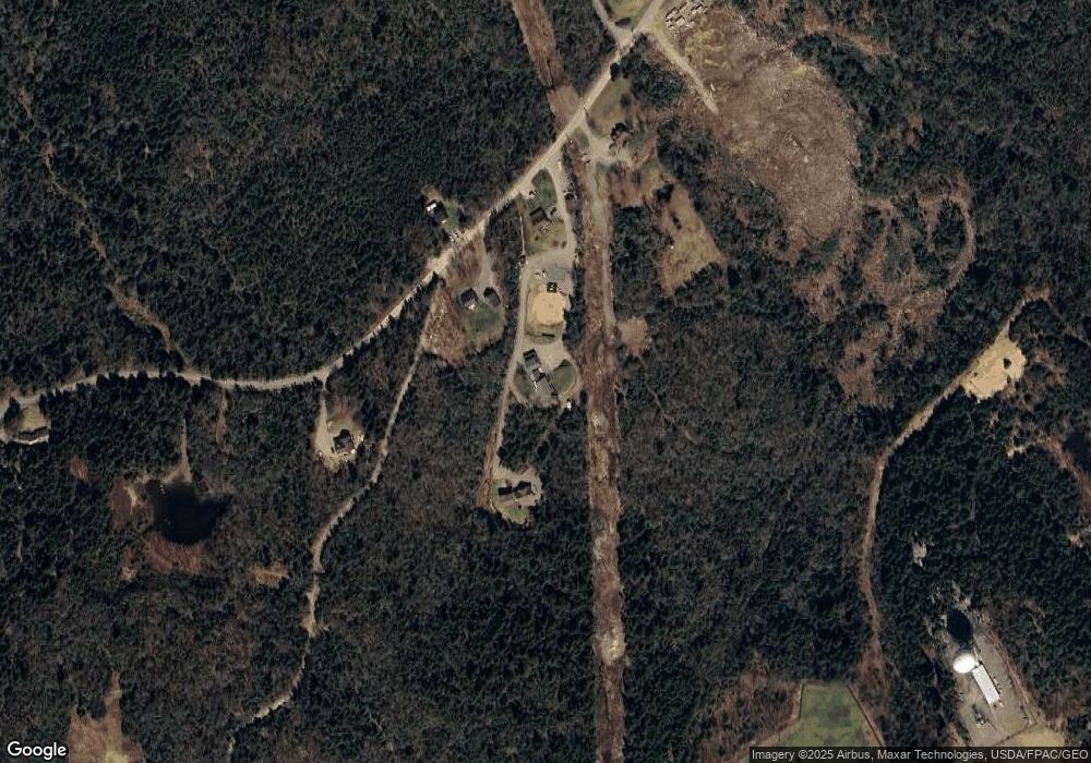
Map
Nearby Homes
- 1323 Port Rd
- 19 Yoho Head Rd
- 14 Overlook Ln
- Lot 95 N Duck Cove Rd
- 246 Marsh Stream Ln
- 604 Duck Cove Rd
- Lot #139 Duck Cove Rd
- 2-2A-001-A Holway Point Rd
- Lot2A-2 Holway Rd
- 1 Puffins Ln
- MarkayEast Puffins Ln
- 576 Port Rd
- 90 Johnson Cove Rd
- 070 Bobcat Path
- 366 Port Rd
- 406 W Kennebec Rd
- 37 Corn Hill Rd
- 4-28 Old Town Rd Old County Rd Rd
- 128 Kennebec Rd
- 12 W Palmer Rd
- 34 Splinter Ln
- 144 New Hickey Rd
- 0 Yoho Head Rd
- 00 Yoho Head Rd
- Lot 31 Yoho Head
- 132 New Hickey Rd
- 70-1 Yoho Head Rd
- 0 Grays Beach Rd Unit 1049750
- 15 Yoho Head Rd
- Lot 15 Yoho Head Rd
- 199 New Hickey Rd
- Lot 23 Yoho Head Rd
- 204 Yoho Head Rd
- 94 Yoho Head Rd
- 124 New Hickey Rd
- Lot 47 Yoho Head Rd
- Lot 50 Yoho Head Rd
- LOT 62 Grays Beach Rd Rd
- Lot 93 Yoho Head Rd
- 75 Yoho Head Rd