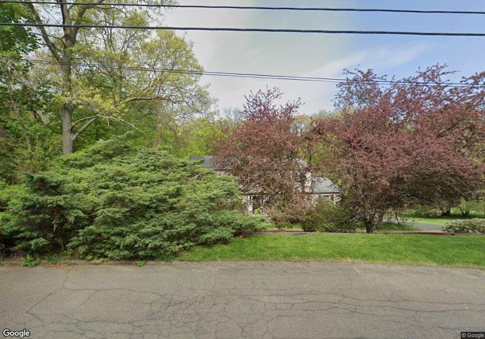
22 Stag Ln Trumbull, CT 06611
Daniel Farm District NeighborhoodEstimated Value: $816,050 - $893,000
4
Beds
4
Baths
2,444
Sq Ft
$349/Sq Ft
Est. Value
About This Home
This home is located at 22 Stag Ln, Trumbull, CT 06611 and is currently estimated at $853,013, approximately $349 per square foot. 22 Stag Ln is a home located in Fairfield County with nearby schools including Daniels Farm School, Hillcrest Middle School, and Trumbull High School.
Ownership History
Date
Name
Owned For
Owner Type
Purchase Details
Closed on
Jul 17, 2009
Sold by
Summers Grady K and Summers Corinne Y
Bought by
Postlehawaite David G
Current Estimated Value
Purchase Details
Closed on
Dec 18, 2006
Sold by
Weichert Relocation In
Bought by
Summers Grady K and Summers Corinne Y
Home Financials for this Owner
Home Financials are based on the most recent Mortgage that was taken out on this home.
Original Mortgage
$440,000
Interest Rate
6.31%
Purchase Details
Closed on
May 21, 1999
Sold by
Steigauf Edward and Steigauf Dana D
Bought by
Kirkpatrick Jack D and Kirkpatrick Tina
Home Financials for this Owner
Home Financials are based on the most recent Mortgage that was taken out on this home.
Original Mortgage
$240,000
Interest Rate
6.88%
Create a Home Valuation Report for This Property
The Home Valuation Report is an in-depth analysis detailing your home's value as well as a comparison with similar homes in the area
Home Values in the Area
Average Home Value in this Area
Purchase History
| Date | Buyer | Sale Price | Title Company |
|---|---|---|---|
| Postlehawaite David G | $550,000 | -- | |
| Summers Grady K | $550,000 | -- | |
| Weichert Relocation In | $550,000 | -- | |
| Kirkpatrick Jack D | $329,000 | -- |
Source: Public Records
Mortgage History
| Date | Status | Borrower | Loan Amount |
|---|---|---|---|
| Previous Owner | Kirkpatrick Jack D | $20,000 | |
| Previous Owner | Kirkpatrick Jack D | $440,000 | |
| Previous Owner | Kirkpatrick Jack D | $240,000 | |
| Closed | Kirkpatrick Jack D | $56,000 |
Source: Public Records
Tax History
| Year | Tax Paid | Tax Assessment Tax Assessment Total Assessment is a certain percentage of the fair market value that is determined by local assessors to be the total taxable value of land and additions on the property. | Land | Improvement |
|---|---|---|---|---|
| 2025 | $13,392 | $362,740 | $160,090 | $202,650 |
| 2024 | $13,026 | $362,740 | $160,090 | $202,650 |
| 2023 | $12,816 | $362,740 | $160,090 | $202,650 |
| 2022 | $12,611 | $362,740 | $160,090 | $202,650 |
| 2021 | $11,918 | $326,130 | $145,670 | $180,460 |
| 2020 | $11,692 | $326,130 | $145,670 | $180,460 |
| 2018 | $11,403 | $326,130 | $145,670 | $180,460 |
| 2017 | $11,173 | $326,130 | $145,670 | $180,460 |
| 2016 | $10,948 | $326,130 | $145,670 | $180,460 |
| 2015 | $11,231 | $330,700 | $145,700 | $185,000 |
| 2014 | $10,989 | $330,700 | $145,700 | $185,000 |
Source: Public Records
Map
Nearby Homes
- 110 Porters Hill Rd
- 261 Moose Hill Rd
- 286 Moose Hill Rd
- 17 Moose Hill Rd
- 121 Lewis Rd
- 9 Lazy Brook Rd
- 97 Greenbrier Rd
- 23 Federal Rd
- 6 Dartmouth Dr
- 115 Wheeler Rd
- 2 Winthrop Woods Rd
- 4 Winthrop Woods Rd
- 16 Winthrop Woods Rd
- 424 Waverly Rd
- 80 Woodlawn Rd
- 93 Putting Green Rd N
- 67 Hidden Knolls Cir
- 23 Bonita Dr
- 13 Surrey Ln
- 6475 Main St
Your Personal Tour Guide
Ask me questions while you tour the home.