22 Stearns Ln Sudbury, MA 01776
Estimated Value: $1,100,916 - $1,238,000
4
Beds
3
Baths
2,682
Sq Ft
$433/Sq Ft
Est. Value
About This Home
This home is located at 22 Stearns Ln, Sudbury, MA 01776 and is currently estimated at $1,160,229, approximately $432 per square foot. 22 Stearns Ln is a home located in Middlesex County with nearby schools including Peter Noyes Elementary School, Ephraim Curtis Middle School, and Lincoln-Sudbury Regional High School.
Ownership History
Date
Name
Owned For
Owner Type
Purchase Details
Closed on
Jun 18, 2021
Sold by
Greene Brian B and Greene Lisa M
Bought by
Greene Ft
Current Estimated Value
Purchase Details
Closed on
Oct 3, 1995
Sold by
Jones Vern L and Jones Theresa M
Bought by
Greene Brian B and Greene Lisa M
Create a Home Valuation Report for This Property
The Home Valuation Report is an in-depth analysis detailing your home's value as well as a comparison with similar homes in the area
Home Values in the Area
Average Home Value in this Area
Purchase History
| Date | Buyer | Sale Price | Title Company |
|---|---|---|---|
| Greene Ft | -- | None Available | |
| Greene Ft | -- | None Available | |
| Greene Brian B | $320,000 | -- |
Source: Public Records
Mortgage History
| Date | Status | Borrower | Loan Amount |
|---|---|---|---|
| Previous Owner | Greene Brian B | $50,000 | |
| Previous Owner | Greene Brian B | $360,000 | |
| Previous Owner | Greene Brian B | $42,000 |
Source: Public Records
Tax History Compared to Growth
Tax History
| Year | Tax Paid | Tax Assessment Tax Assessment Total Assessment is a certain percentage of the fair market value that is determined by local assessors to be the total taxable value of land and additions on the property. | Land | Improvement |
|---|---|---|---|---|
| 2025 | $13,864 | $947,000 | $462,800 | $484,200 |
| 2024 | $13,355 | $914,100 | $449,200 | $464,900 |
| 2023 | $12,703 | $805,500 | $416,000 | $389,500 |
| 2022 | $12,612 | $698,700 | $381,600 | $317,100 |
| 2021 | $12,206 | $648,200 | $381,600 | $266,600 |
| 2020 | $11,959 | $648,200 | $381,600 | $266,600 |
| 2019 | $11,609 | $648,200 | $381,600 | $266,600 |
| 2018 | $11,568 | $645,200 | $401,600 | $243,600 |
| 2017 | $11,320 | $638,100 | $396,800 | $241,300 |
| 2016 | $10,965 | $616,000 | $381,600 | $234,400 |
| 2015 | $10,500 | $596,600 | $366,800 | $229,800 |
| 2014 | $10,481 | $581,300 | $356,000 | $225,300 |
Source: Public Records
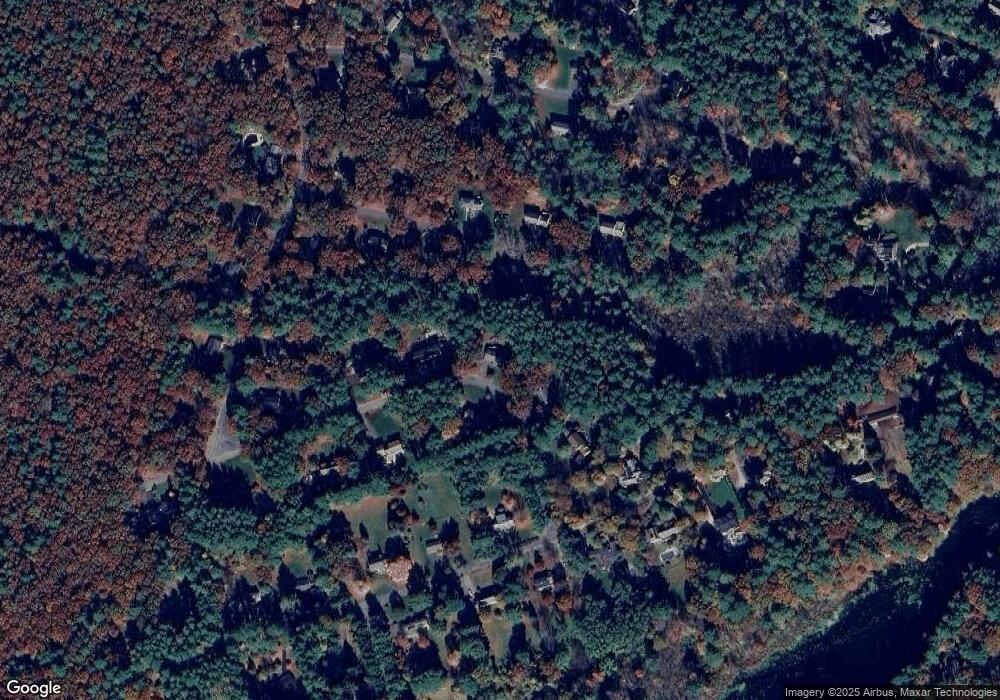
Map
Nearby Homes
- 21 Summer St
- 47 Fairbank Rd
- 7 Saddle Ridge Rd
- 4 Elderberry Cir
- 36 Old Forge Ln
- 143 Peakham Rd
- 54 Phillips Rd
- 788 Main St
- 786 Main St
- 10 Shoreline Dr Unit 12
- 8 Shoreline Dr Unit 11
- 14 Old County Rd Unit 21
- 30 Rolling Ln
- 3 Shore Line Dr Unit 15
- 123 Dutton Rd
- 10 Old County Rd Unit 19
- Stockbridge South Shore Plan at Lakemont by Toll Brothers
- 1 Town Line Rd
- 1 Town Line Rd Unit 18
- 34 Hallock Point Rd