22 Steffanie Place Landing, NJ 07850
Estimated Value: $567,000 - $690,000
--
Bed
--
Bath
2,376
Sq Ft
$264/Sq Ft
Est. Value
About This Home
This home is located at 22 Steffanie Place, Landing, NJ 07850 and is currently estimated at $626,076, approximately $263 per square foot. 22 Steffanie Place is a home located in Morris County with nearby schools including Eisenhower Middle School, Lincoln Roosevelt Elementary School, and Roxbury High School.
Ownership History
Date
Name
Owned For
Owner Type
Purchase Details
Closed on
May 7, 2009
Sold by
Mouzon George and Mouzon Margaret
Bought by
Jamroz Zbigniew and Jamroz Janina
Current Estimated Value
Home Financials for this Owner
Home Financials are based on the most recent Mortgage that was taken out on this home.
Original Mortgage
$297,000
Outstanding Balance
$187,348
Interest Rate
4.82%
Mortgage Type
Purchase Money Mortgage
Estimated Equity
$438,728
Create a Home Valuation Report for This Property
The Home Valuation Report is an in-depth analysis detailing your home's value as well as a comparison with similar homes in the area
Home Values in the Area
Average Home Value in this Area
Purchase History
| Date | Buyer | Sale Price | Title Company |
|---|---|---|---|
| Jamroz Zbigniew | $330,000 | Ticor Title Insurance Co |
Source: Public Records
Mortgage History
| Date | Status | Borrower | Loan Amount |
|---|---|---|---|
| Open | Jamroz Zbigniew | $297,000 |
Source: Public Records
Tax History Compared to Growth
Tax History
| Year | Tax Paid | Tax Assessment Tax Assessment Total Assessment is a certain percentage of the fair market value that is determined by local assessors to be the total taxable value of land and additions on the property. | Land | Improvement |
|---|---|---|---|---|
| 2025 | $9,863 | $358,800 | $93,600 | $265,200 |
| 2024 | $9,709 | $358,800 | $93,600 | $265,200 |
| 2023 | $9,709 | $358,800 | $93,600 | $265,200 |
| 2022 | $9,451 | $358,800 | $93,600 | $265,200 |
| 2021 | $9,451 | $358,800 | $93,600 | $265,200 |
| 2020 | $9,375 | $356,600 | $93,600 | $263,000 |
| 2019 | $9,200 | $356,600 | $93,600 | $263,000 |
| 2018 | $9,301 | $215,800 | $63,600 | $152,200 |
| 2017 | $9,251 | $215,800 | $63,600 | $152,200 |
| 2016 | $9,070 | $215,800 | $63,600 | $152,200 |
| 2015 | $8,846 | $215,800 | $63,600 | $152,200 |
| 2014 | $8,705 | $215,800 | $63,600 | $152,200 |
Source: Public Records
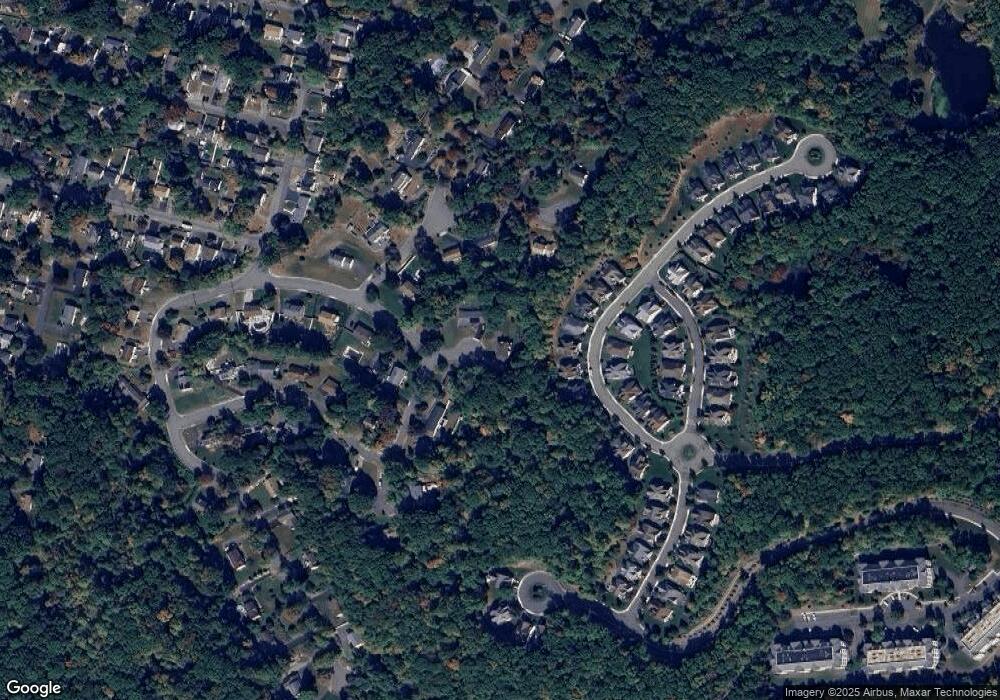
Map
Nearby Homes
- 100 Zachary Way Unit 100
- 86 Brookside Ln
- 545 Rogers Dr
- 11 Zachary Way
- 649 Henmar Dr
- 44 Spruce Terrace Unit 4835
- 512 Colver Rd
- 7 Magnolia Ln
- 537 Dell Rd
- 66 Maple Ln
- 504 Ryerson Rd
- 37 Maple Ln Unit 2601
- 55 Crestview Ln Unit 1827
- 181 Orben Dr
- 72 Crestview Ln Unit 1917
- 5 Zachary Dr
- 203 Howard Blvd
- 592 Dell Rd
- 16 Esposito Ln
- 547 Atlas Rd