22 Sugar Maple Dr Alfred, ME 04002
Estimated Value: $625,000 - $946,245
4
Beds
--
Bath
1,008
Sq Ft
$746/Sq Ft
Est. Value
About This Home
This home is located at 22 Sugar Maple Dr, Alfred, ME 04002 and is currently estimated at $752,415, approximately $746 per square foot. 22 Sugar Maple Dr is a home with nearby schools including Massabesic High School.
Ownership History
Date
Name
Owned For
Owner Type
Purchase Details
Closed on
Nov 10, 2010
Sold by
Melvin Christine
Bought by
Melvin Robert L
Current Estimated Value
Home Financials for this Owner
Home Financials are based on the most recent Mortgage that was taken out on this home.
Original Mortgage
$173,000
Outstanding Balance
$113,714
Interest Rate
4.35%
Mortgage Type
Purchase Money Mortgage
Estimated Equity
$638,701
Create a Home Valuation Report for This Property
The Home Valuation Report is an in-depth analysis detailing your home's value as well as a comparison with similar homes in the area
Home Values in the Area
Average Home Value in this Area
Purchase History
| Date | Buyer | Sale Price | Title Company |
|---|---|---|---|
| Melvin Robert L | -- | -- |
Source: Public Records
Mortgage History
| Date | Status | Borrower | Loan Amount |
|---|---|---|---|
| Open | Melvin Robert L | $173,000 | |
| Previous Owner | Melvin Robert L | $100,000 |
Source: Public Records
Tax History Compared to Growth
Tax History
| Year | Tax Paid | Tax Assessment Tax Assessment Total Assessment is a certain percentage of the fair market value that is determined by local assessors to be the total taxable value of land and additions on the property. | Land | Improvement |
|---|---|---|---|---|
| 2025 | $9,604 | $995,239 | $284,150 | $711,089 |
| 2024 | $8,497 | $899,115 | $259,150 | $639,965 |
| 2023 | $6,227 | $331,200 | $119,200 | $212,000 |
| 2022 | $5,962 | $331,200 | $119,200 | $212,000 |
| 2021 | $5,713 | $331,200 | $119,200 | $212,000 |
| 2020 | $5,432 | $331,200 | $119,200 | $212,000 |
| 2019 | $5,432 | $331,200 | $119,200 | $212,000 |
| 2018 | $5,266 | $331,200 | $119,200 | $212,000 |
| 2017 | $5,266 | $331,200 | $119,200 | $212,000 |
| 2016 | $5,018 | $331,200 | $119,200 | $212,000 |
| 2015 | $4,802 | $331,200 | $119,200 | $212,000 |
| 2014 | $4,720 | $331,200 | $119,200 | $212,000 |
| 2013 | $4,554 | $331,200 | $119,200 | $212,000 |
Source: Public Records
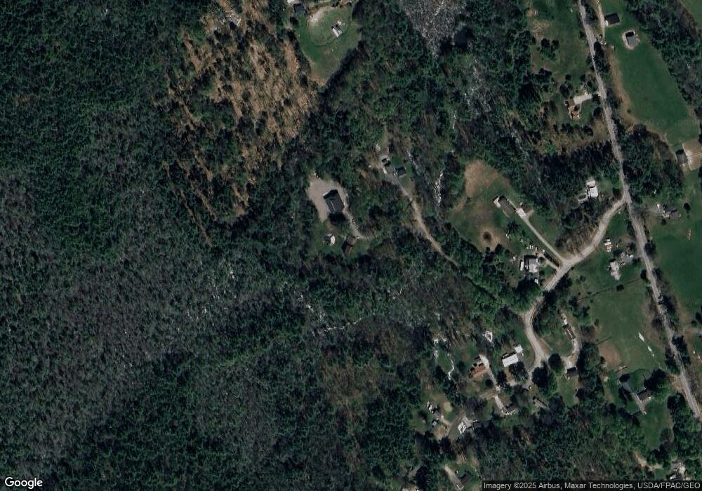
Map
Nearby Homes
- 67 Carpenter Hill Rd
- 691 Gore Rd
- Lot 1 Martin Cir
- 232 Waterboro Rd
- Lot 650 Gebung Rd
- 74 Lisa Dr
- 599 Gore Rd
- 5 Cooper Way
- 146 Rhode Island Ave
- 15 Scooter Way
- TBD Olde Farnham Rd
- 34 Cascade Cir Unit 30
- 450 West Rd
- 22 White House Cove Rd
- 51 Sanford Rd
- 58 Sanford Rd
- 0 Sanford Rd
- TBD Elm St
- 16 Marcotte Ln
- Lot 35 Bennett Rd
- 32 Middle Branch Dr
- 33 Middle Branch Dr
- 436 Gore Rd
- 0 Middle Branch Dr
- A Middle Branch Rd
- 414 Gore Rd
- 19 Middle Branch Dr
- 36 Middle Branch Dr
- 40 Middle Branch Dr
- 43 Middle Branch Dr
- 42 Middle Branch Dr
- 15 Middle Branch Dr
- 448 Gore Rd
- 0 Dr
- 0 Middle Branch
- 423 Gore Rd
- 27 Sugar Maple Dr
- 53 Middle Branch Dr
- 402 Gore Rd
- 61 Middle Branch Dr