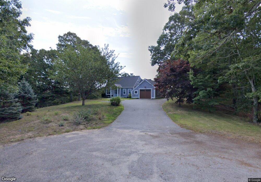
22 Sumner Ln Brewster, MA 02631
Estimated Value: $874,000 - $981,000
3
Beds
3
Baths
2,087
Sq Ft
$452/Sq Ft
Est. Value
About This Home
This home is located at 22 Sumner Ln, Brewster, MA 02631 and is currently estimated at $943,761, approximately $452 per square foot. 22 Sumner Ln is a home located in Barnstable County with nearby schools including Stony Brook Elementary School, Eddy Elementary School, and Nauset Regional Middle School.
Ownership History
Date
Name
Owned For
Owner Type
Purchase Details
Closed on
Sep 17, 2020
Sold by
Mary Macdonald Ft
Bought by
Moskovitz Andrew G and Moskovitz Heidi F
Current Estimated Value
Home Financials for this Owner
Home Financials are based on the most recent Mortgage that was taken out on this home.
Original Mortgage
$456,000
Outstanding Balance
$403,919
Interest Rate
2.8%
Mortgage Type
New Conventional
Estimated Equity
$539,842
Purchase Details
Closed on
May 26, 2006
Sold by
Macdonald Mary A and Macdonald Ralph J
Bought by
F Ralph
Purchase Details
Closed on
Sep 23, 1993
Sold by
Riordan Daniel R
Bought by
Macdonald Ralph J and Macdonald Mary A
Create a Home Valuation Report for This Property
The Home Valuation Report is an in-depth analysis detailing your home's value as well as a comparison with similar homes in the area
Home Values in the Area
Average Home Value in this Area
Purchase History
| Date | Buyer | Sale Price | Title Company |
|---|---|---|---|
| Moskovitz Andrew G | $570,000 | None Available | |
| F Ralph | -- | -- | |
| Macdonald Ralph J | $55,000 | -- |
Source: Public Records
Mortgage History
| Date | Status | Borrower | Loan Amount |
|---|---|---|---|
| Open | Moskovitz Andrew G | $456,000 |
Source: Public Records
Tax History
| Year | Tax Paid | Tax Assessment Tax Assessment Total Assessment is a certain percentage of the fair market value that is determined by local assessors to be the total taxable value of land and additions on the property. | Land | Improvement |
|---|---|---|---|---|
| 2025 | $5,838 | $848,600 | $256,500 | $592,100 |
| 2024 | $4,831 | $709,400 | $263,000 | $446,400 |
| 2023 | $4,468 | $639,200 | $234,800 | $404,400 |
| 2022 | $4,314 | $549,600 | $211,200 | $338,400 |
| 2021 | $4,653 | $542,300 | $183,600 | $358,700 |
| 2020 | $4,531 | $525,600 | $183,600 | $342,000 |
| 2019 | $4,381 | $510,600 | $176,600 | $334,000 |
| 2018 | $4,099 | $496,300 | $176,600 | $319,700 |
| 2017 | $4,030 | $480,300 | $176,600 | $303,700 |
| 2016 | $3,860 | $457,900 | $173,200 | $284,700 |
| 2015 | $3,727 | $451,200 | $169,800 | $281,400 |
Source: Public Records
Map
Nearby Homes
- 34 Blackberry Ln
- 8 Sumner Ln
- 38 Blackberry Ln
- 0 Sumner Ln
- 25 Sumner Ln
- 167 Lake Shore Dr
- 20 Blackberry Ln
- 29 Blackberry Ln
- 0 Lake Shore Dr
- 193 Lake Shore Dr
- 145 Lake Shore Dr
- 193 Tracy Ln
- 57 Blackberry Ln
- 177 Tracy Ln
- 205 Tracy Ln
- 165 Tracy Ln
- 133 Lake Shore Dr Unit 135
- 133-135 Lake Shore Dr
- 0 Crowells Bog Rd
- 0 Crowells Bog Rd L:66 Unit 70585389
Your Personal Tour Guide
Ask me questions while you tour the home.