22 Sutherland Ct Highlands Ranch, CO 80130
Eastridge NeighborhoodEstimated Value: $619,872 - $782,000
3
Beds
2
Baths
1,765
Sq Ft
$405/Sq Ft
Est. Value
About This Home
This home is located at 22 Sutherland Ct, Highlands Ranch, CO 80130 and is currently estimated at $714,218, approximately $404 per square foot. 22 Sutherland Ct is a home located in Douglas County with nearby schools including Fox Creek Elementary School, Cresthill Middle School, and Highlands Ranch High School.
Ownership History
Date
Name
Owned For
Owner Type
Purchase Details
Closed on
Jun 22, 2001
Sold by
James Michael Fearon Trust
Bought by
Miclot Stephen J and Miclot Carol A
Current Estimated Value
Home Financials for this Owner
Home Financials are based on the most recent Mortgage that was taken out on this home.
Original Mortgage
$234,000
Interest Rate
7.08%
Purchase Details
Closed on
Jan 8, 1999
Sold by
Hassett Frank J and Rolly Ann
Bought by
James Michael Fearon Trust Et Al
Purchase Details
Closed on
Aug 3, 1998
Sold by
Hassett Frank J and Hassett Ann Rolly
Bought by
James Michael Fearon Trust
Purchase Details
Closed on
May 15, 1987
Sold by
Mission Viejo Co
Bought by
Hassett Frank J and Rolly Ann
Create a Home Valuation Report for This Property
The Home Valuation Report is an in-depth analysis detailing your home's value as well as a comparison with similar homes in the area
Home Values in the Area
Average Home Value in this Area
Purchase History
| Date | Buyer | Sale Price | Title Company |
|---|---|---|---|
| Miclot Stephen J | $305,000 | First American Heritage Titl | |
| James Michael Fearon Trust Et Al | $217,000 | -- | |
| James Michael Fearon Trust | $217,000 | -- | |
| Hassett Frank J | $130,200 | -- |
Source: Public Records
Mortgage History
| Date | Status | Borrower | Loan Amount |
|---|---|---|---|
| Previous Owner | Miclot Stephen J | $234,000 |
Source: Public Records
Tax History
| Year | Tax Paid | Tax Assessment Tax Assessment Total Assessment is a certain percentage of the fair market value that is determined by local assessors to be the total taxable value of land and additions on the property. | Land | Improvement |
|---|---|---|---|---|
| 2025 | $3,356 | $39,670 | $7,710 | $31,960 |
| 2024 | $3,356 | $45,990 | $9,270 | $36,720 |
| 2023 | $3,350 | $45,990 | $9,270 | $36,720 |
| 2022 | $2,623 | $35,660 | $6,370 | $29,290 |
| 2021 | $2,729 | $35,660 | $6,370 | $29,290 |
| 2020 | $2,499 | $34,090 | $6,040 | $28,050 |
| 2019 | $2,509 | $34,090 | $6,040 | $28,050 |
| 2018 | $2,211 | $30,600 | $5,330 | $25,270 |
| 2017 | $2,014 | $30,600 | $5,330 | $25,270 |
| 2016 | $1,724 | $27,630 | $4,600 | $23,030 |
| 2015 | $880 | $28,450 | $4,600 | $23,850 |
| 2014 | $1,659 | $25,060 | $5,330 | $19,730 |
Source: Public Records
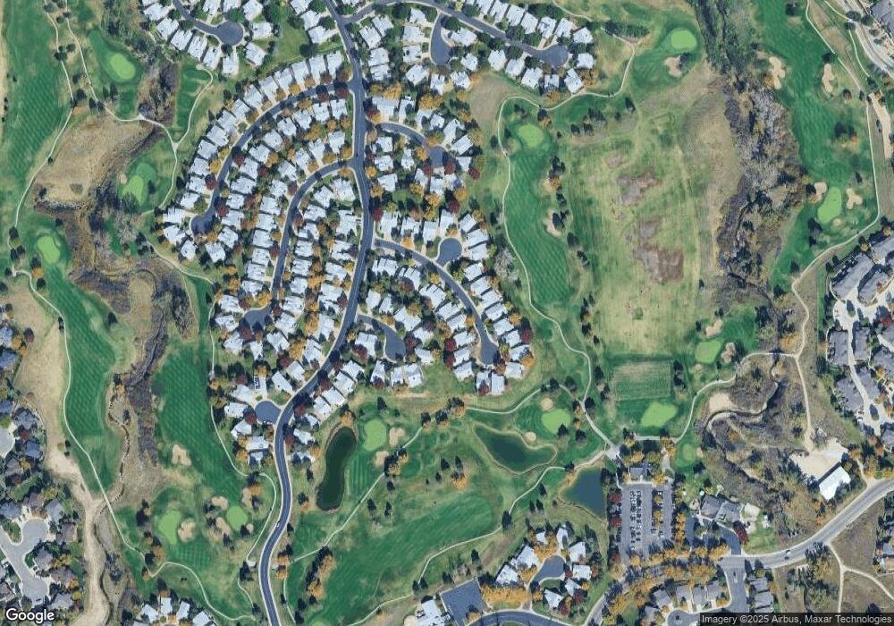
Map
Nearby Homes
- 41 Canongate Ln
- 14 Stonehaven Ct
- 102 Canongate Ln
- 5418 Shetland Ct
- 6452 Silver Mesa Dr Unit A
- 8615 Gold Peak Place Unit C
- 8615 Gold Peak Place Unit F
- 6494 Silver Mesa Dr Unit A
- 4905 Greenwich Ln
- 8643 Gold Peak Dr Unit F
- 8595 Gold Peak Dr Unit E
- 8555 Gold Peak Dr Unit F
- 8649 Gold Peak Dr Unit C
- 4526 Copeland Cir Unit 103
- 8614 Gold Peak Dr Unit B
- 8614 Gold Peak Dr Unit E
- 4608 Copeland Loop Unit 201
- 4608 Copeland Loop Unit 101
- 4701 Whimbrel Dr
- 8638 Gold Peak Dr Unit D
- 20 Sutherland Ct
- 24 Sutherland Ct
- 16 Sutherland Ct
- 26 Sutherland Ct
- 9 Dunbarton Ct
- 21 Sutherland Ct
- 8 Sutherland Ct
- 23 Sutherland Ct
- 5 Dunbarton Ct
- 19 Sutherland Ct
- 28 Sutherland Ct
- 25 Sutherland Ct
- 12 Dunbarton Ct
- 6 Sutherland Ct
- 27 Sutherland Ct
- 3 Dunbarton Ct
- 30 Sutherland Ct
- 17 Sutherland Ct
- 4 Sutherland Ct
- 10 Dunbarton Ct
Your Personal Tour Guide
Ask me questions while you tour the home.