22 Sutton Dr New Vernon, NJ 07976
Estimated Value: $2,612,000 - $2,852,000
--
Bed
--
Bath
5,940
Sq Ft
$460/Sq Ft
Est. Value
About This Home
This home is located at 22 Sutton Dr, New Vernon, NJ 07976 and is currently estimated at $2,730,184, approximately $459 per square foot. 22 Sutton Dr is a home with nearby schools including Harding Township School and Chatham Day School.
Ownership History
Date
Name
Owned For
Owner Type
Purchase Details
Closed on
Jul 25, 2024
Sold by
Mangini Eric and Mangini Julie
Bought by
Lopian Kenneth M and Lopian Maryalyse
Current Estimated Value
Home Financials for this Owner
Home Financials are based on the most recent Mortgage that was taken out on this home.
Original Mortgage
$1,450,000
Outstanding Balance
$1,432,245
Interest Rate
6.86%
Mortgage Type
New Conventional
Estimated Equity
$1,297,939
Purchase Details
Closed on
Mar 4, 2009
Sold by
Mangini Eric and Mangini Julie
Bought by
Mangini Eric and Mangini Julie
Purchase Details
Closed on
Jul 27, 2008
Sold by
Mulholland Carol E
Bought by
Mangini Eric and Mangini Julie
Home Financials for this Owner
Home Financials are based on the most recent Mortgage that was taken out on this home.
Original Mortgage
$1,300,000
Interest Rate
5.37%
Mortgage Type
Purchase Money Mortgage
Purchase Details
Closed on
Jul 23, 2008
Sold by
Mulholland Robert E
Bought by
Mangini Eric and Mangini Julie
Home Financials for this Owner
Home Financials are based on the most recent Mortgage that was taken out on this home.
Original Mortgage
$1,300,000
Interest Rate
5.37%
Mortgage Type
Purchase Money Mortgage
Purchase Details
Closed on
Jun 6, 2007
Sold by
Mulholland Carol
Bought by
Carol Mulholland Revocable Living Trust
Purchase Details
Closed on
May 19, 1998
Sold by
Corbat Michael L and Corbat Donna D
Bought by
Mulholland Robert E and Mulholland Carol E
Home Financials for this Owner
Home Financials are based on the most recent Mortgage that was taken out on this home.
Original Mortgage
$1,000,000
Interest Rate
7.62%
Purchase Details
Closed on
Jul 26, 1994
Sold by
Hamilton Loretta
Bought by
Corbat Michael and Corbat Donna
Home Financials for this Owner
Home Financials are based on the most recent Mortgage that was taken out on this home.
Original Mortgage
$900,000
Interest Rate
8.52%
Create a Home Valuation Report for This Property
The Home Valuation Report is an in-depth analysis detailing your home's value as well as a comparison with similar homes in the area
Home Values in the Area
Average Home Value in this Area
Purchase History
| Date | Buyer | Sale Price | Title Company |
|---|---|---|---|
| Lopian Kenneth M | $2,400,000 | None Listed On Document | |
| Lopian Kenneth M | $2,400,000 | None Listed On Document | |
| Mangini Eric | $3,850,000 | None Available | |
| Mangini Eric | $1,925,000 | Chicago Title Insurance Co | |
| Mangini Eric | $1,925,000 | Chicago Title Insurance Co | |
| Carol Mulholland Revocable Living Trust | -- | None Available | |
| Robert Mulholland Revocable Living Trust | -- | None Available | |
| Mulholland Robert | -- | None Available | |
| Mulholland Robert E | $2,630,000 | -- | |
| Corbat Michael | $1,800,000 | -- |
Source: Public Records
Mortgage History
| Date | Status | Borrower | Loan Amount |
|---|---|---|---|
| Open | Lopian Kenneth M | $1,450,000 | |
| Closed | Lopian Kenneth M | $1,450,000 | |
| Previous Owner | Mangini Eric | $1,300,000 | |
| Previous Owner | Mangini Eric | $1,300,000 | |
| Previous Owner | Mulholland Robert E | $1,000,000 | |
| Previous Owner | Corbat Michael | $900,000 |
Source: Public Records
Tax History Compared to Growth
Tax History
| Year | Tax Paid | Tax Assessment Tax Assessment Total Assessment is a certain percentage of the fair market value that is determined by local assessors to be the total taxable value of land and additions on the property. | Land | Improvement |
|---|---|---|---|---|
| 2025 | $26,205 | $2,194,700 | $911,500 | $1,283,200 |
| 2024 | $25,371 | $2,194,700 | $911,500 | $1,283,200 |
| 2023 | $25,371 | $2,194,700 | $911,500 | $1,283,200 |
| 2022 | $24,361 | $2,194,700 | $911,500 | $1,283,200 |
| 2021 | $24,361 | $2,194,700 | $911,500 | $1,283,200 |
| 2020 | $24,010 | $2,194,700 | $911,500 | $1,283,200 |
| 2019 | $32,412 | $2,813,500 | $1,523,000 | $1,290,500 |
| 2018 | $31,793 | $2,813,500 | $1,523,000 | $1,290,500 |
| 2017 | $31,624 | $2,813,500 | $1,523,000 | $1,290,500 |
| 2016 | $31,117 | $2,813,500 | $1,523,000 | $1,290,500 |
| 2015 | $30,386 | $2,813,500 | $1,523,000 | $1,290,500 |
| 2014 | $29,345 | $2,813,500 | $1,523,000 | $1,290,500 |
Source: Public Records
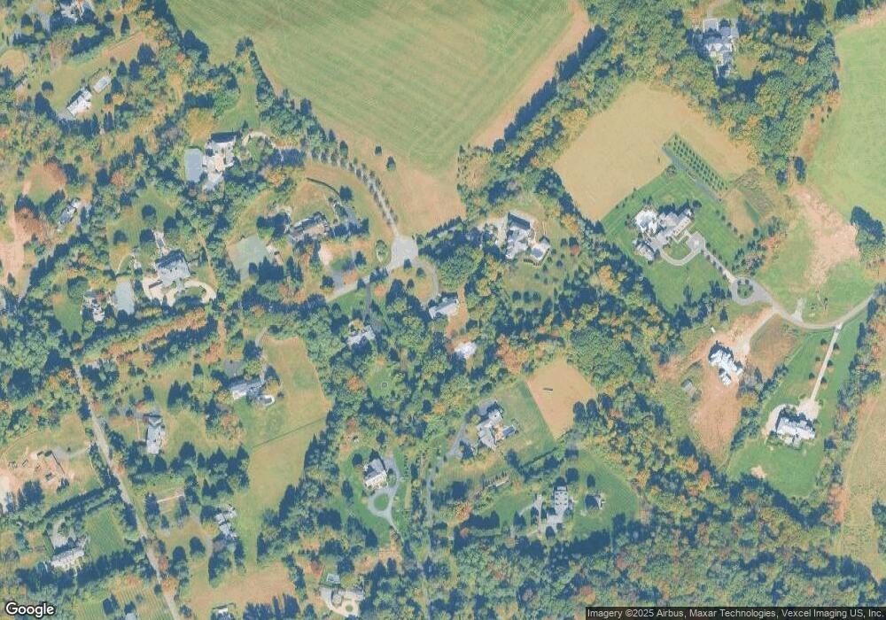
Map
Nearby Homes
- 72 Village Rd
- 63 Village Rd
- 31 Sand Spring Ln
- 33 Millbrook Rd
- 34 Millbrook Rd
- 15 Long Hill Rd
- 16 Lee Dr
- 43 Raven Dr
- 47 Britten Rd
- 2 Squirrel Run
- 46 Blackberry Ln
- 685 Shunpike Rd
- 21 Symor Dr
- 3 Chadwell Place Unit 2
- 7 Cedar Hill Dr
- 6 Fawn Hill Dr
- 29 Kitchell Rd
- 2 Hadley Way
- 24 Spring Brook Rd
- 139 Woodland Ave
- 8 Colgate Terrace
- 12 Colgate Terrace Unit 4
- 12 Sutton Dr
- 28 Sutton Dr
- 18 Colgate Terrace
- 24 Colgate Terrace
- 26 Colgate Terrace
- 30 Colgate Terrace Unit 2
- 11 Twin Field Ln
- 50 Colgate Terrace
- 15 Sutton Dr
- 8 Sutton Dr
- 9 Twinfield Ln
- 30 Cherry Ln
- 10 Twin Field Ln
- 9 Twin Field Ln
- 6 Colgate Dr
- 6 Colgate Dr
- 27 Cherry Ln
- 5 Sutton Dr