22 SW 675th Rd Warrensburg, MO 64093
Estimated Value: $295,000 - $498,000
Studio
--
Bath
3,017
Sq Ft
$131/Sq Ft
Est. Value
About This Home
This home is located at 22 SW 675th Rd, Warrensburg, MO 64093 and is currently estimated at $394,915, approximately $130 per square foot. 22 SW 675th Rd is a home with nearby schools including Leeton Elementary School, Leeton Middle School, and Leeton High School.
Ownership History
Date
Name
Owned For
Owner Type
Purchase Details
Closed on
Oct 28, 2025
Sold by
Mcgowen Sarah J and Mcgowen Ronald G
Bought by
Shawver Mcgowen Trust and Mcgowen
Current Estimated Value
Purchase Details
Closed on
Nov 30, 2020
Sold by
Megowen Sarah J and Megowen Ronald G
Bought by
Mcgowen Sarah J and Mcgowen Ronald G
Purchase Details
Closed on
Oct 23, 2012
Sold by
Shawer Eric J
Bought by
Shawver Sarah J
Purchase Details
Closed on
Sep 16, 2009
Sold by
Talley Robert E and Talley Christine Y
Bought by
Shawver Eric and Shawver Sarah J
Purchase Details
Closed on
Mar 16, 2009
Sold by
Shawver Eric and Shawver Sarah J
Bought by
Shawver Eric and Shawver Sarah J
Home Financials for this Owner
Home Financials are based on the most recent Mortgage that was taken out on this home.
Original Mortgage
$172,660
Interest Rate
5.36%
Mortgage Type
Credit Line Revolving
Create a Home Valuation Report for This Property
The Home Valuation Report is an in-depth analysis detailing your home's value as well as a comparison with similar homes in the area
Purchase History
| Date | Buyer | Sale Price | Title Company |
|---|---|---|---|
| Shawver Mcgowen Trust | -- | None Listed On Document | |
| Mcgowen Sarah J | -- | None Available | |
| Shawver Sarah J | -- | None Available | |
| Shawver Eric | -- | -- | |
| Shawver Eric | -- | -- |
Source: Public Records
Mortgage History
| Date | Status | Borrower | Loan Amount |
|---|---|---|---|
| Previous Owner | Shawver Eric | $172,660 |
Source: Public Records
Tax History
| Year | Tax Paid | Tax Assessment Tax Assessment Total Assessment is a certain percentage of the fair market value that is determined by local assessors to be the total taxable value of land and additions on the property. | Land | Improvement |
|---|---|---|---|---|
| 2025 | $2,738 | $40,675 | $0 | $0 |
| 2024 | $2,738 | $37,082 | $0 | $0 |
| 2023 | $2,701 | $37,082 | $0 | $0 |
| 2022 | $2,492 | $35,424 | $0 | $0 |
| 2021 | $2,492 | $35,424 | $0 | $0 |
| 2020 | $2,492 | $33,759 | $0 | $0 |
| 2019 | $2,490 | $33,759 | $0 | $0 |
| 2017 | $2,391 | $33,765 | $0 | $0 |
| 2016 | $2,385 | $33,765 | $0 | $0 |
| 2015 | $2,455 | $33,765 | $0 | $0 |
| 2014 | $2,130 | $33,751 | $0 | $0 |
Source: Public Records
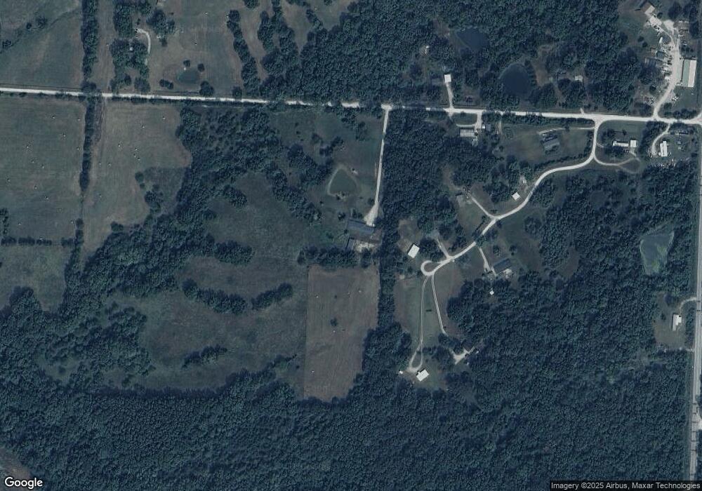
Map
Nearby Homes
- 161 SW 11th Rd
- 1 SW 575th Rd
- TBD SE Hwy Pp N A
- 711 SE 251st Rd
- 169 SW 800th Rd
- 471 SE 201st Rd
- 305 SW 11th Rd
- 26 SW 365th Rd
- 359 SW 101st Rd
- 284 SW Business 13 Hwy
- 280 SW Business 13 Hwy
- 14 SW 260th Rd
- 12 SW 260th Rd
- 9 SW 260th Rd
- 245 SW 400th Rd
- 144 SE 250th Rd
- 28 SE 240th Rd
- 1044 SW 101st Rd
- 89 SE 451st Rd
- 219 SE 141st Rd
- 688 SW 11th Rd
- 688 SW 11th Rd
- 684 SW 11th Rd
- 691 SW 11th Rd
- 151 SW 11th Rd
- 147 SW 11th Rd
- 687 SW 11th Rd
- 689 SW 11 Rd
- 689 SW 11th Rd
- 14 SW 675th Rd
- 17 SW 675th Rd
- 681 SW 11 Rd
- 681 SW 11th Rd
- 5 SW 675th Rd
- 4 SW 675th Rd
- 25 SW 675th Rd
- 690 SW State Route 13
- 3 SW 675th Rd
- 714 SW State Route 13
- 714 SW 13 Hwy
Your Personal Tour Guide
Ask me questions while you tour the home.