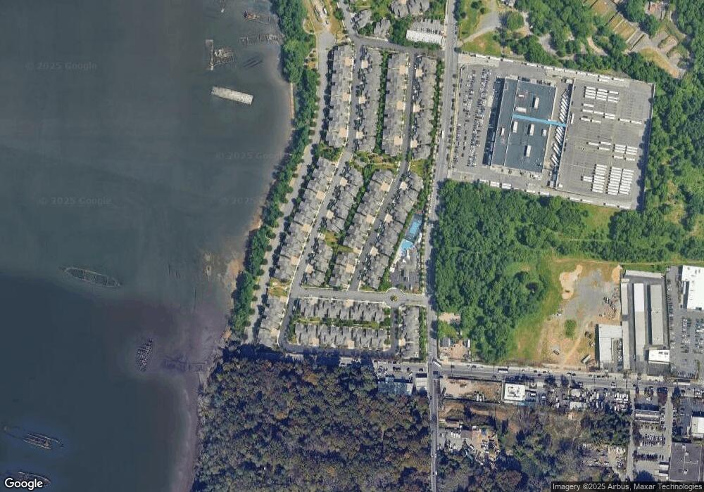
22 Topside Ln Staten Island, NY 10309
Charleston NeighborhoodEstimated Value: $828,109 - $955,000
--
Bed
4
Baths
2,365
Sq Ft
$385/Sq Ft
Est. Value
About This Home
This home is located at 22 Topside Ln, Staten Island, NY 10309 and is currently estimated at $910,277, approximately $384 per square foot. 22 Topside Ln is a home located in Richmond County with nearby schools including P.S. 6 Cpl Allan F Kivlehan School, Is 34 Tottenville, and Tottenville High School.
Ownership History
Date
Name
Owned For
Owner Type
Purchase Details
Closed on
Apr 19, 2017
Sold by
Palomba Vittoria I
Bought by
Palomba Marco
Current Estimated Value
Purchase Details
Closed on
Jul 21, 2008
Sold by
Pc Group Llc
Bought by
Palomba Vittoria I
Home Financials for this Owner
Home Financials are based on the most recent Mortgage that was taken out on this home.
Original Mortgage
$400,000
Outstanding Balance
$263,234
Interest Rate
6.47%
Mortgage Type
Purchase Money Mortgage
Estimated Equity
$647,043
Create a Home Valuation Report for This Property
The Home Valuation Report is an in-depth analysis detailing your home's value as well as a comparison with similar homes in the area
Home Values in the Area
Average Home Value in this Area
Purchase History
| Date | Buyer | Sale Price | Title Company |
|---|---|---|---|
| Palomba Marco | -- | None Available | |
| Palomba Vittoria I | $609,932 | None Available |
Source: Public Records
Mortgage History
| Date | Status | Borrower | Loan Amount |
|---|---|---|---|
| Open | Palomba Vittoria I | $400,000 |
Source: Public Records
Tax History Compared to Growth
Tax History
| Year | Tax Paid | Tax Assessment Tax Assessment Total Assessment is a certain percentage of the fair market value that is determined by local assessors to be the total taxable value of land and additions on the property. | Land | Improvement |
|---|---|---|---|---|
| 2025 | $9,323 | $48,720 | $15,509 | $33,211 |
| 2024 | $9,336 | $47,820 | $15,375 | $32,445 |
| 2023 | $9,337 | $47,376 | $14,524 | $32,852 |
| 2022 | $8,349 | $45,600 | $15,120 | $30,480 |
| 2021 | $8,987 | $45,120 | $15,120 | $30,000 |
| 2020 | $8,519 | $44,160 | $15,120 | $29,040 |
| 2019 | $8,184 | $43,740 | $15,120 | $28,620 |
| 2018 | $7,750 | $39,480 | $15,120 | $24,360 |
| 2017 | $7,467 | $38,100 | $15,120 | $22,980 |
| 2016 | $7,044 | $36,786 | $14,856 | $21,930 |
| 2015 | $4,965 | $34,704 | $16,386 | $18,318 |
| 2014 | $4,965 | $33,768 | $15,299 | $18,469 |
Source: Public Records
Map
Nearby Homes
- 66 Pilot Ln
- 78 Topside Ln
- 91 Pilot Ln
- 68 Tiller Ct
- 71 Kreischer St
- 81 Kreischer St
- 83 Kreischer St
- 85 Kreischer St
- 54 Kreischer St
- 4795 Arthur Kill Rd
- 62-72 Androvette St
- 0 Winant Place
- 97-99 Englewood Ave
- 282 Boscombe Ave
- 55 Quail Ln
- 155 Darnell Ln
- 69 Nashville St
- 116 Churchill Ave
- 105 Churchill Ave
- 397 Ellis St
