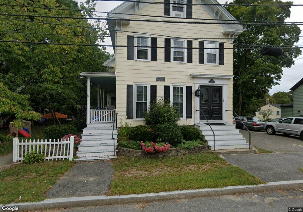
22 Union St Unit 2 Reading, MA 01867
Estimated Value: $265,000 - $518,000
1
Bed
1
Bath
613
Sq Ft
$619/Sq Ft
Est. Value
About This Home
This home is located at 22 Union St Unit 2, Reading, MA 01867 and is currently estimated at $379,713, approximately $619 per square foot. 22 Union St Unit 2 is a home located in Middlesex County with nearby schools including J. Warren Killam Elementary School, Walter S. Parker Middle School, and Reading Memorial High School.
Ownership History
Date
Name
Owned For
Owner Type
Purchase Details
Closed on
Dec 17, 2010
Sold by
Novia Gina M and Disimone Gina M
Bought by
Donoghue Kimberly A
Current Estimated Value
Home Financials for this Owner
Home Financials are based on the most recent Mortgage that was taken out on this home.
Original Mortgage
$178,600
Outstanding Balance
$118,058
Interest Rate
4.23%
Mortgage Type
Purchase Money Mortgage
Estimated Equity
$261,655
Purchase Details
Closed on
Nov 21, 2005
Sold by
Pruisken Henry J and Dimattia Karen J
Bought by
Descimone Gina M
Create a Home Valuation Report for This Property
The Home Valuation Report is an in-depth analysis detailing your home's value as well as a comparison with similar homes in the area
Home Values in the Area
Average Home Value in this Area
Purchase History
| Date | Buyer | Sale Price | Title Company |
|---|---|---|---|
| Donoghue Kimberly A | $188,000 | -- | |
| Descimone Gina M | $199,900 | -- |
Source: Public Records
Mortgage History
| Date | Status | Borrower | Loan Amount |
|---|---|---|---|
| Open | Donoghue Kimberly A | $178,600 |
Source: Public Records
Tax History
| Year | Tax Paid | Tax Assessment Tax Assessment Total Assessment is a certain percentage of the fair market value that is determined by local assessors to be the total taxable value of land and additions on the property. | Land | Improvement |
|---|---|---|---|---|
| 2025 | $3,611 | $317,000 | $0 | $317,000 |
| 2024 | $3,528 | $301,000 | $0 | $301,000 |
| 2023 | $3,608 | $286,600 | $0 | $286,600 |
| 2022 | $3,586 | $269,000 | $0 | $269,000 |
| 2021 | $3,537 | $256,100 | $0 | $256,100 |
| 2020 | $3,506 | $251,300 | $0 | $251,300 |
| 2019 | $3,439 | $241,700 | $0 | $241,700 |
| 2018 | $3,219 | $232,100 | $0 | $232,100 |
| 2017 | $3,122 | $222,500 | $0 | $222,500 |
| 2016 | $3,044 | $209,900 | $0 | $209,900 |
| 2015 | $2,996 | $203,800 | $0 | $203,800 |
| 2014 | $2,551 | $173,100 | $0 | $173,100 |
Source: Public Records
Map
Nearby Homes
- 48 Village St Unit 1001
- 141 Belmont St
- 41 Winter St
- 5 Washington St Unit D4
- 5 Washington St Unit A5
- 44 Grandview Rd
- 27 Audubon Rd
- 90 Sunnyside Ave
- 20 Pinevale Ave
- 241 Main St Unit C3
- 50 Quannapowitt Pkwy
- 1 Pennsylvania Ave
- 101 King St Unit 101
- 50 Forest St
- 75 Hopkins St
- 1014 Gazebo Cir Unit 1014
- 1 Summit Dr Unit 57
- 99 Grove St
- 311 Gazebo Cir Unit 311
- 18 Symonds Way
- 22 Union St
- 28 Union St
- 18 Union St Unit 2
- 27 Union St Unit B
- 27 Union St Unit A
- 13 John St
- 93 Harnden St
- 83 Harnden St
- 25 Union St
- 5 John St
- 33 Salem St
- 65 Harnden St
- 65 Harnden St Unit 3
- 65 Harnden St Unit 1
- 29 Union St
- 29 Union St Unit 1
- 29 Union St Unit 2
- 17 John St
- 37 Salem St
- 37 Salem St Unit 1
Your Personal Tour Guide
Ask me questions while you tour the home.