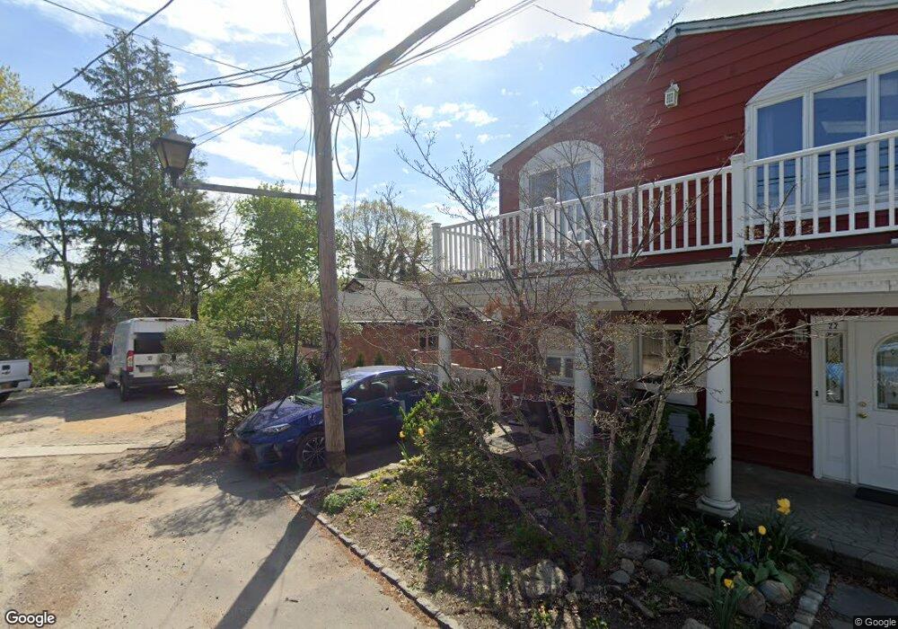
22 Viking Rd Glenwood Landing, NY 11547
Estimated Value: $908,881 - $1,092,000
4
Beds
3
Baths
2,946
Sq Ft
$340/Sq Ft
Est. Value
About This Home
This home is located at 22 Viking Rd, Glenwood Landing, NY 11547 and is currently estimated at $1,000,441, approximately $339 per square foot. 22 Viking Rd is a home located in Nassau County with nearby schools including North Shore Middle School, North Shore Senior High School, and Tiegerman Elementary School.
Ownership History
Date
Name
Owned For
Owner Type
Purchase Details
Closed on
Mar 25, 2016
Sold by
Dunn Steven and Dunn Linda
Bought by
Avramt Chev Vassil I
Current Estimated Value
Home Financials for this Owner
Home Financials are based on the most recent Mortgage that was taken out on this home.
Original Mortgage
$494,100
Outstanding Balance
$390,687
Interest Rate
3.62%
Mortgage Type
New Conventional
Estimated Equity
$609,754
Purchase Details
Closed on
Sep 16, 1998
Sold by
Fiederlien John
Bought by
Dunn Steven and Dunn Linda
Create a Home Valuation Report for This Property
The Home Valuation Report is an in-depth analysis detailing your home's value as well as a comparison with similar homes in the area
Home Values in the Area
Average Home Value in this Area
Purchase History
| Date | Buyer | Sale Price | Title Company |
|---|---|---|---|
| Avramt Chev Vassil I | $549,000 | None Available | |
| Dunn Steven | $277,000 | -- |
Source: Public Records
Mortgage History
| Date | Status | Borrower | Loan Amount |
|---|---|---|---|
| Open | Avramt Chev Vassil I | $494,100 |
Source: Public Records
Tax History Compared to Growth
Tax History
| Year | Tax Paid | Tax Assessment Tax Assessment Total Assessment is a certain percentage of the fair market value that is determined by local assessors to be the total taxable value of land and additions on the property. | Land | Improvement |
|---|---|---|---|---|
| 2025 | $13,094 | $579 | $202 | $377 |
| 2024 | $3,912 | $585 | $204 | $381 |
| 2023 | $13,925 | $585 | $204 | $381 |
| 2022 | $13,925 | $585 | $204 | $381 |
| 2021 | $14,305 | $594 | $207 | $387 |
| 2020 | $15,245 | $1,274 | $591 | $683 |
| 2019 | $15,468 | $1,375 | $638 | $737 |
| 2018 | $15,834 | $1,375 | $0 | $0 |
| 2017 | $10,232 | $1,375 | $638 | $737 |
| 2016 | $14,509 | $1,375 | $638 | $737 |
| 2015 | $4,077 | $1,375 | $638 | $737 |
| 2014 | $4,077 | $1,375 | $638 | $737 |
| 2013 | $3,804 | $1,375 | $638 | $737 |
Source: Public Records
Map
Nearby Homes