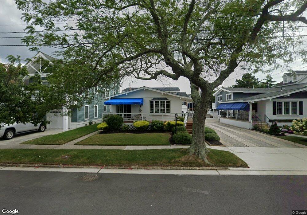
22 W Belfast Rd Ocean City, NJ 08226
Estimated Value: $1,087,727 - $2,446,000
--
Bed
--
Bath
1,746
Sq Ft
$1,059/Sq Ft
Est. Value
About This Home
This home is located at 22 W Belfast Rd, Ocean City, NJ 08226 and is currently estimated at $1,849,182, approximately $1,059 per square foot. 22 W Belfast Rd is a home located in Cape May County with nearby schools including Ocean City Primary School, Ocean City Intermediate School, and Ocean City High School.
Ownership History
Date
Name
Owned For
Owner Type
Purchase Details
Closed on
Aug 31, 2023
Sold by
Reilly Caroll
Bought by
Reilly Edward P and Reilly Scott M
Current Estimated Value
Purchase Details
Closed on
Oct 13, 2000
Sold by
Jones Gregory E
Bought by
Reilly Edward and Reilly Caroll
Home Financials for this Owner
Home Financials are based on the most recent Mortgage that was taken out on this home.
Original Mortgage
$220,000
Interest Rate
7.89%
Purchase Details
Closed on
Jul 22, 1989
Sold by
Raiser Germaine
Bought by
Jones Gregory and Jones Susan
Create a Home Valuation Report for This Property
The Home Valuation Report is an in-depth analysis detailing your home's value as well as a comparison with similar homes in the area
Home Values in the Area
Average Home Value in this Area
Purchase History
| Date | Buyer | Sale Price | Title Company |
|---|---|---|---|
| Reilly Edward P | -- | None Listed On Document | |
| Reilly Edward | $320,000 | -- | |
| Jones Gregory | $215,000 | -- |
Source: Public Records
Mortgage History
| Date | Status | Borrower | Loan Amount |
|---|---|---|---|
| Previous Owner | Reilly Edward | $220,000 |
Source: Public Records
Tax History Compared to Growth
Tax History
| Year | Tax Paid | Tax Assessment Tax Assessment Total Assessment is a certain percentage of the fair market value that is determined by local assessors to be the total taxable value of land and additions on the property. | Land | Improvement |
|---|---|---|---|---|
| 2025 | $5,424 | $483,400 | $391,000 | $92,400 |
| 2024 | $5,424 | $483,400 | $391,000 | $92,400 |
| 2023 | $5,177 | $483,400 | $391,000 | $92,400 |
| 2022 | $4,974 | $483,400 | $391,000 | $92,400 |
| 2021 | $3,212 | $483,400 | $391,000 | $92,400 |
| 2020 | $4,728 | $483,400 | $391,000 | $92,400 |
| 2019 | $4,674 | $483,400 | $391,000 | $92,400 |
| 2018 | $4,631 | $483,400 | $391,000 | $92,400 |
| 2017 | $4,558 | $483,400 | $391,000 | $92,400 |
| 2016 | $4,384 | $483,400 | $391,000 | $92,400 |
| 2015 | $4,326 | $483,400 | $391,000 | $92,400 |
| 2014 | $4,264 | $483,400 | $391,000 | $92,400 |
Source: Public Records
Map
Nearby Homes
- 21 Cardiff Rd
- 510 Gardens Pkwy
- 12 E Newcastle Rd
- 9 E Newcastle Rd
- 230 W Seaspray Rd
- 211 W Seaspray Rd
- 112 W Atlantic Blvd
- 312 W Surf Rd
- 319 E Seaspray Rd
- 301 Wesley Rd
- 70 Bay Rd
- 114 Wesley Rd
- 51 Simpson Rd Unit 2
- 118 Pinnacle Rd
- 50 Wesley Rd
- 143 Pinnacle Rd
- 3408 Haven Ave Unit 301
- 3408 Haven Ave Unit 223
- 118 Ocean Rd
- 24 Haven Ave