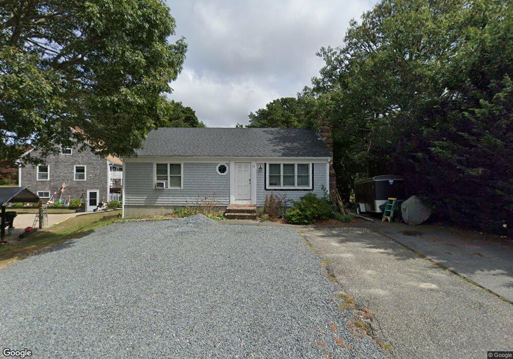
22 Wager Ln South Dennis, MA 02660
South Dennis NeighborhoodEstimated Value: $437,000 - $542,000
2
Beds
2
Baths
864
Sq Ft
$571/Sq Ft
Est. Value
About This Home
This home is located at 22 Wager Ln, South Dennis, MA 02660 and is currently estimated at $493,739, approximately $571 per square foot. 22 Wager Ln is a home located in Barnstable County with nearby schools including Dennis-Yarmouth Regional High School.
Ownership History
Date
Name
Owned For
Owner Type
Purchase Details
Closed on
Jun 30, 2011
Sold by
Mason Catherine D
Bought by
Krivos Peter
Current Estimated Value
Home Financials for this Owner
Home Financials are based on the most recent Mortgage that was taken out on this home.
Original Mortgage
$171,000
Outstanding Balance
$114,772
Interest Rate
4%
Mortgage Type
Purchase Money Mortgage
Estimated Equity
$378,967
Purchase Details
Closed on
Mar 2, 1994
Sold by
Billings John A and Billings Bridgett E
Bought by
Mason Charles E and Mason Catherine D
Home Financials for this Owner
Home Financials are based on the most recent Mortgage that was taken out on this home.
Original Mortgage
$65,800
Interest Rate
7.01%
Mortgage Type
Purchase Money Mortgage
Create a Home Valuation Report for This Property
The Home Valuation Report is an in-depth analysis detailing your home's value as well as a comparison with similar homes in the area
Home Values in the Area
Average Home Value in this Area
Purchase History
| Date | Buyer | Sale Price | Title Company |
|---|---|---|---|
| Krivos Peter | $190,000 | -- | |
| Mason Charles E | $20,000 | -- |
Source: Public Records
Mortgage History
| Date | Status | Borrower | Loan Amount |
|---|---|---|---|
| Open | Krivos Peter | $171,000 | |
| Previous Owner | Mason Charles E | $65,800 |
Source: Public Records
Tax History Compared to Growth
Tax History
| Year | Tax Paid | Tax Assessment Tax Assessment Total Assessment is a certain percentage of the fair market value that is determined by local assessors to be the total taxable value of land and additions on the property. | Land | Improvement |
|---|---|---|---|---|
| 2025 | $1,693 | $391,100 | $119,000 | $272,100 |
| 2024 | $1,661 | $378,400 | $114,400 | $264,000 |
| 2023 | $1,606 | $344,000 | $104,000 | $240,000 |
| 2022 | $1,593 | $284,500 | $104,100 | $180,400 |
| 2021 | $6,139 | $253,300 | $102,100 | $151,200 |
| 2020 | $1,471 | $241,100 | $102,100 | $139,000 |
| 2019 | $1,432 | $232,100 | $110,100 | $122,000 |
| 2018 | $1,316 | $207,600 | $95,300 | $112,300 |
| 2017 | $1,255 | $204,100 | $95,300 | $108,800 |
| 2016 | $1,260 | $193,000 | $100,100 | $92,900 |
| 2015 | $1,235 | $193,000 | $100,100 | $92,900 |
| 2014 | $1,135 | $178,700 | $85,800 | $92,900 |
Source: Public Records
Map
Nearby Homes
- 15 Captain Jud Rd
- 32 Captain Walsh Dr
- 17 Margate Ln
- 153 Bayridge Dr
- 4 Ebb Rd
- 13 Covey Dr
- 10 Joanne Dr
- 25 Skerry Rd
- 59 Main St Unit 19-2
- 59 Route 6a Unit 29-4
- 17 Fairmount Rd
- 111 Merchant Ave
- 21 Compass Ln
- 15 Trudy Cir
- 7 Vinland Dr
- 17 Fairmount Rd
- 1 Norseman Dr
- 118 Driftwood Ln
- 6 Nimble Hill Dr
- 59 Massachusetts 6a Unit 19-2