22 Wampanoag Dr Fairhaven, MA 02719
Sconticut Neck NeighborhoodEstimated Value: $657,000 - $1,023,000
3
Beds
3
Baths
2,480
Sq Ft
$338/Sq Ft
Est. Value
About This Home
This home is located at 22 Wampanoag Dr, Fairhaven, MA 02719 and is currently estimated at $838,854, approximately $338 per square foot. 22 Wampanoag Dr is a home located in Bristol County with nearby schools including Fairhaven High School, St. Joseph School, and Holy Family Holy Name School.
Ownership History
Date
Name
Owned For
Owner Type
Purchase Details
Closed on
Jan 20, 1994
Sold by
Healy Thomas F
Bought by
Pottel Kenneth W and Pottels Joyce
Current Estimated Value
Home Financials for this Owner
Home Financials are based on the most recent Mortgage that was taken out on this home.
Original Mortgage
$46,800
Interest Rate
7.08%
Mortgage Type
Purchase Money Mortgage
Create a Home Valuation Report for This Property
The Home Valuation Report is an in-depth analysis detailing your home's value as well as a comparison with similar homes in the area
Home Values in the Area
Average Home Value in this Area
Purchase History
| Date | Buyer | Sale Price | Title Company |
|---|---|---|---|
| Pottel Kenneth W | $58,500 | -- |
Source: Public Records
Mortgage History
| Date | Status | Borrower | Loan Amount |
|---|---|---|---|
| Closed | Pottel Kenneth W | $46,800 |
Source: Public Records
Tax History Compared to Growth
Tax History
| Year | Tax Paid | Tax Assessment Tax Assessment Total Assessment is a certain percentage of the fair market value that is determined by local assessors to be the total taxable value of land and additions on the property. | Land | Improvement |
|---|---|---|---|---|
| 2025 | $76 | $820,300 | $440,400 | $379,900 |
| 2024 | $7,488 | $811,300 | $419,200 | $392,100 |
| 2023 | $7,228 | $726,400 | $359,500 | $366,900 |
| 2022 | $7,132 | $697,800 | $359,500 | $338,300 |
| 2021 | $7,222 | $639,700 | $344,900 | $294,800 |
| 2020 | $7,075 | $639,700 | $344,900 | $294,800 |
| 2019 | $6,602 | $565,700 | $285,200 | $280,500 |
| 2018 | $6,327 | $538,500 | $285,200 | $253,300 |
| 2017 | $6,367 | $528,800 | $285,200 | $243,600 |
| 2016 | $6,263 | $514,200 | $285,200 | $229,000 |
| 2015 | $5,875 | $483,500 | $258,700 | $224,800 |
Source: Public Records
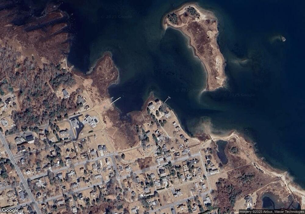
Map
Nearby Homes
- 14 Summit Dr
- 15 Baxter Ave
- 35 Seaview Ave
- 58 Ocean Ave
- 16 Reservation Rd
- 43 Grandview Ave
- 389 Sconticut Neck Rd
- 19 Smith St
- 0 Bonney St Unit 73340588
- 70 Hathaway St
- 10 Jerusalem Rd
- 8 Sunset Beach Rd
- ANR 2 Sconticut Neck Rd
- 15 Bayview Ave
- 22 John St
- 28 Brandt Beach Ave
- 3 Harbor Mist Dr
- 0 Brandt Beach Ave
- 706 Ocean Meadows
- 506 Ocean Meadows
- 23 Wampanoag Dr
- 19 Wampanoag Dr
- 16 Wampanoag Dr
- 2 Wampanoag Dr
- 17 Wampanoag Dr
- 6 Wampanoag Dr
- 15 Wampanoag Dr
- 13 Wampanoag Dr
- 5 Wampanoag Dr
- 7 Wampanoag Dr
- 9 Wampanoag Dr
- 3 Wampanoag Dr
- 11 Wampanoag Dr
- 94 Raymond St
- 90 Raymond St
- 96 Raymond St
- 5 Manzone Dr Unit 2
- 102 Raymond St
- 99 Chase Rd
- 307 Sconticut Neck Rd