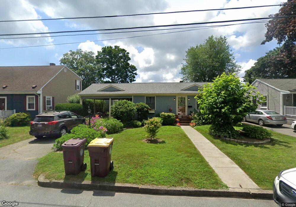
22 Wamsutta Ave Acushnet, MA 02743
Upper Acushnet NeighborhoodEstimated Value: $404,000 - $435,000
--
Bed
1
Bath
1,512
Sq Ft
$274/Sq Ft
Est. Value
About This Home
This home is located at 22 Wamsutta Ave, Acushnet, MA 02743 and is currently estimated at $413,752, approximately $273 per square foot. 22 Wamsutta Ave is a home located in Bristol County with nearby schools including Acushnet Elementary School, Albert F Ford Middle School, and Alma Del Mar Charter School.
Ownership History
Date
Name
Owned For
Owner Type
Purchase Details
Closed on
Apr 16, 2013
Sold by
Olejarz Peter J and Olejarz Susan
Bought by
Olejarz Nt and Olejarz
Current Estimated Value
Purchase Details
Closed on
Apr 24, 1973
Bought by
Olejarz Nt
Create a Home Valuation Report for This Property
The Home Valuation Report is an in-depth analysis detailing your home's value as well as a comparison with similar homes in the area
Home Values in the Area
Average Home Value in this Area
Purchase History
| Date | Buyer | Sale Price | Title Company |
|---|---|---|---|
| Olejarz Nt | -- | -- | |
| Olejarz Nt | -- | -- |
Source: Public Records
Mortgage History
| Date | Status | Borrower | Loan Amount |
|---|---|---|---|
| Previous Owner | Olejarz Nt | $50,000 | |
| Previous Owner | Olejarz Nt | $35,000 |
Source: Public Records
Tax History Compared to Growth
Tax History
| Year | Tax Paid | Tax Assessment Tax Assessment Total Assessment is a certain percentage of the fair market value that is determined by local assessors to be the total taxable value of land and additions on the property. | Land | Improvement |
|---|---|---|---|---|
| 2025 | $37 | $344,800 | $118,900 | $225,900 |
| 2024 | $3,617 | $317,000 | $112,700 | $204,300 |
| 2023 | $3,492 | $291,000 | $102,200 | $188,800 |
| 2022 | $3,471 | $261,600 | $96,000 | $165,600 |
| 2021 | $3,347 | $242,000 | $96,000 | $146,000 |
| 2020 | $3,286 | $235,700 | $89,700 | $146,000 |
| 2019 | $3,138 | $221,300 | $85,500 | $135,800 |
| 2018 | $3,034 | $210,400 | $85,500 | $124,900 |
| 2017 | $2,907 | $201,300 | $85,500 | $115,800 |
| 2016 | $2,826 | $194,500 | $85,500 | $109,000 |
| 2015 | $2,680 | $187,700 | $85,500 | $102,200 |
Source: Public Records
Map
Nearby Homes
- 20 Wamsutta Ave
- 24 Wamsutta Ave
- 27 Harbeck St
- 18 Wamsutta Ave
- 25 Harbeck St
- 26 Wamsutta Ave
- 21 Wamsutta Ave
- 28 Wamsutta Ave
- 23 Wamsutta Ave
- 17 Wamsutta Ave
- 14 Wamsutta Ave
- 35 Harbeck St
- 28 Harbeck St
- 30 Harbeck St
- 25 Wamsutta Ave
- 30 Wamsutta Ave
- 34 Harbeck St
- 22 Harbeck St
- 11 Wamsutta Ave
- 8 Wamsutta Ave