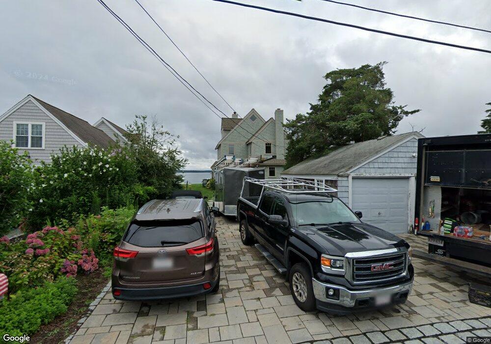
22 Wenaumet Bluff Dr Pocasset, MA 02559
Estimated Value: $940,000 - $1,734,000
3
Beds
2
Baths
1,772
Sq Ft
$740/Sq Ft
Est. Value
About This Home
This home is located at 22 Wenaumet Bluff Dr, Pocasset, MA 02559 and is currently estimated at $1,311,250, approximately $739 per square foot. 22 Wenaumet Bluff Dr is a home located in Barnstable County with nearby schools including Bourne High School and Cadence Academy Preschool - Bourne.
Ownership History
Date
Name
Owned For
Owner Type
Purchase Details
Closed on
Feb 21, 2025
Sold by
Rhodes Laura M and Rhodes Donald M
Bought by
Rhodes Irt and Garvey
Current Estimated Value
Purchase Details
Closed on
Jul 9, 2012
Sold by
Rhodes Laura M
Bought by
Rhodes Laura M and Rhodes Donald M
Create a Home Valuation Report for This Property
The Home Valuation Report is an in-depth analysis detailing your home's value as well as a comparison with similar homes in the area
Home Values in the Area
Average Home Value in this Area
Purchase History
| Date | Buyer | Sale Price | Title Company |
|---|---|---|---|
| Rhodes Irt | -- | None Available | |
| Rhodes Irt | -- | None Available | |
| Rhodes Laura M | -- | -- | |
| Rhodes Laura M | -- | -- |
Source: Public Records
Tax History Compared to Growth
Tax History
| Year | Tax Paid | Tax Assessment Tax Assessment Total Assessment is a certain percentage of the fair market value that is determined by local assessors to be the total taxable value of land and additions on the property. | Land | Improvement |
|---|---|---|---|---|
| 2025 | $11,212 | $1,435,600 | $1,076,600 | $359,000 |
| 2024 | $10,963 | $1,367,000 | $1,025,200 | $341,800 |
| 2023 | $10,294 | $1,168,400 | $907,300 | $261,100 |
| 2022 | $10,206 | $1,011,500 | $803,000 | $208,500 |
| 2021 | $10,276 | $954,100 | $761,200 | $192,900 |
| 2020 | $10,172 | $947,100 | $753,900 | $193,200 |
| 2019 | $9,846 | $936,800 | $753,900 | $182,900 |
| 2018 | $9,410 | $892,800 | $718,200 | $174,600 |
| 2017 | $9,108 | $884,300 | $711,400 | $172,900 |
| 2016 | $8,753 | $861,500 | $694,300 | $167,200 |
| 2015 | $8,217 | $816,000 | $648,800 | $167,200 |
Source: Public Records
Map
Nearby Homes
- 20 Wenaumet Bluff Dr
- 24 Wenaumet Bluff Dr
- 18 Wenaumet Bluff Dr
- 28 Wenaumet Bluff Dr
- 34 Buena Vista Rd
- 16 Wenaumet Bluff Dr
- 12 Wenaumet Bluff Dr
- 21 Wenaumet Bluff Dr
- 36 Wenaumet Bluff Dr
- 23 Wenaumet Bluff Dr
- 25 Wenaumet Bluff Dr
- 14 Wenaumet Bluff Dr
- 10 Wenaumet Bluff Dr
- 40 Wenaumet Bluff Dr
- 11 Wenaumet Bluff Dr
- 29 Wenaumet Bluff Dr
- 33 Wenaumet Bluff Dr
- 7 Wenaumet Bluff Dr
- 42 Wenaumet Bluff Dr
- 51 Tide Way Rd