22 Westmoreland Rd Hingham, MA 02043
South Hingham NeighborhoodEstimated Value: $926,000 - $1,278,000
3
Beds
3
Baths
1,715
Sq Ft
$668/Sq Ft
Est. Value
About This Home
This home is located at 22 Westmoreland Rd, Hingham, MA 02043 and is currently estimated at $1,145,646, approximately $668 per square foot. 22 Westmoreland Rd is a home located in Plymouth County with nearby schools including South Elementary School, Hingham Middle School, and Hingham High School.
Ownership History
Date
Name
Owned For
Owner Type
Purchase Details
Closed on
Jan 17, 2013
Sold by
Boyle Thomas J and Boyle Laura J
Bought by
Boyle Nt
Current Estimated Value
Purchase Details
Closed on
Jul 20, 1987
Sold by
Semple Robert S
Bought by
Boyle Thomas J
Home Financials for this Owner
Home Financials are based on the most recent Mortgage that was taken out on this home.
Original Mortgage
$165,000
Interest Rate
10.69%
Mortgage Type
Purchase Money Mortgage
Create a Home Valuation Report for This Property
The Home Valuation Report is an in-depth analysis detailing your home's value as well as a comparison with similar homes in the area
Home Values in the Area
Average Home Value in this Area
Purchase History
| Date | Buyer | Sale Price | Title Company |
|---|---|---|---|
| Boyle Nt | -- | -- | |
| Boyle Thomas J | $230,000 | -- |
Source: Public Records
Mortgage History
| Date | Status | Borrower | Loan Amount |
|---|---|---|---|
| Previous Owner | Boyle Thomas J | $50,000 | |
| Previous Owner | Boyle Thomas J | $70,000 | |
| Previous Owner | Boyle Thomas J | $122,500 | |
| Previous Owner | Boyle Thomas J | $165,000 |
Source: Public Records
Tax History Compared to Growth
Tax History
| Year | Tax Paid | Tax Assessment Tax Assessment Total Assessment is a certain percentage of the fair market value that is determined by local assessors to be the total taxable value of land and additions on the property. | Land | Improvement |
|---|---|---|---|---|
| 2025 | $10,018 | $937,100 | $532,700 | $404,400 |
| 2024 | $9,684 | $892,500 | $532,700 | $359,800 |
| 2023 | $8,434 | $843,400 | $532,700 | $310,700 |
| 2022 | $8,083 | $699,200 | $443,600 | $255,600 |
| 2021 | $8,018 | $679,500 | $443,600 | $235,900 |
| 2020 | $7,835 | $679,500 | $443,600 | $235,900 |
| 2019 | $7,778 | $658,600 | $443,600 | $215,000 |
| 2018 | $7,703 | $654,500 | $443,600 | $210,900 |
| 2017 | $7,902 | $645,100 | $443,400 | $201,700 |
| 2016 | $7,541 | $603,800 | $422,200 | $181,600 |
| 2015 | $7,301 | $582,700 | $401,800 | $180,900 |
Source: Public Records
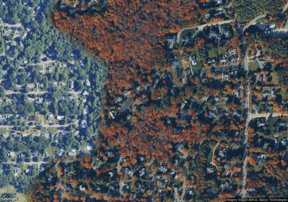
Map
Nearby Homes
- 15 Presidents Rd
- 3 Patriots Way
- 7 Ritter Rd
- 1 Kerri Ln
- 212 Cushing St
- 4 Richard Rd
- 159 Gardner St
- 1193 Main St Unit C1
- 225 Prospect St
- 71 Clubhouse Dr
- 12 Whitcomb Ln
- 2 Black Rock Dr
- 2 Black Rock Dr Unit 21
- 9 Damon Farm Way Unit 9
- 639 Main St
- 261 Gardner St
- 2 Crooked Meadow Ln
- 626 Main St
- 32-70 Lazell St
- 22 High St
- 24 Westmoreland Rd
- 23 Westmoreland Rd
- 20 Westmoreland Rd
- 25 Westmoreland Rd
- 21 Westmoreland Rd
- 26 Westmoreland Rd
- 32 Highfield Rd
- 19 Westmoreland Rd
- 27 Westmoreland Rd
- 5 Southgate Ln
- 16 Westmoreland Rd
- 17 Westmoreland Rd
- 28 Westmoreland Rd
- 1 Southgate Ln
- 6 Southgate Ln
- 15 Westmoreland Rd
- 17 Highfield Rd
- 13 Highfield Rd
- 1 Presidents Rd
- 11 Highfield Rd