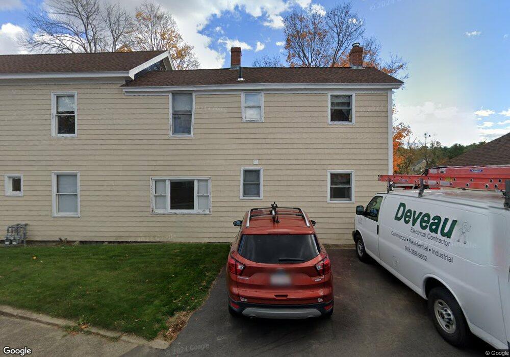
22 Whitehall Rd Amesbury, MA 01913
Estimated Value: $574,000 - $654,137
5
Beds
2
Baths
2,168
Sq Ft
$285/Sq Ft
Est. Value
About This Home
This home is located at 22 Whitehall Rd, Amesbury, MA 01913 and is currently estimated at $617,784, approximately $284 per square foot. 22 Whitehall Rd is a home located in Essex County with nearby schools including Amesbury High School and Amesbury Seventh-Day Adventist School.
Ownership History
Date
Name
Owned For
Owner Type
Purchase Details
Closed on
Nov 18, 1994
Sold by
22 Whitehall Road Ames
Bought by
Deveau James N and Deveau Robin
Current Estimated Value
Home Financials for this Owner
Home Financials are based on the most recent Mortgage that was taken out on this home.
Original Mortgage
$90,000
Interest Rate
8.9%
Mortgage Type
Purchase Money Mortgage
Create a Home Valuation Report for This Property
The Home Valuation Report is an in-depth analysis detailing your home's value as well as a comparison with similar homes in the area
Home Values in the Area
Average Home Value in this Area
Purchase History
| Date | Buyer | Sale Price | Title Company |
|---|---|---|---|
| Deveau James N | $102,000 | -- |
Source: Public Records
Mortgage History
| Date | Status | Borrower | Loan Amount |
|---|---|---|---|
| Open | Deveau James N | $15,000 | |
| Open | Deveau James N | $75,000 | |
| Closed | Deveau James N | $91,800 | |
| Closed | Deveau James N | $90,000 |
Source: Public Records
Tax History
| Year | Tax Paid | Tax Assessment Tax Assessment Total Assessment is a certain percentage of the fair market value that is determined by local assessors to be the total taxable value of land and additions on the property. | Land | Improvement |
|---|---|---|---|---|
| 2025 | $8,166 | $533,700 | $194,700 | $339,000 |
| 2024 | $8,062 | $515,500 | $183,700 | $331,800 |
| 2023 | $8,031 | $491,500 | $159,700 | $331,800 |
| 2022 | $7,117 | $402,300 | $138,900 | $263,400 |
| 2021 | $7,530 | $412,600 | $107,300 | $305,300 |
| 2020 | $6,738 | $392,200 | $103,200 | $289,000 |
| 2019 | $5,742 | $312,600 | $103,200 | $209,400 |
| 2018 | $5,300 | $279,100 | $98,300 | $180,800 |
| 2017 | $5,325 | $266,900 | $98,300 | $168,600 |
| 2016 | $5,206 | $256,700 | $98,300 | $158,400 |
| 2015 | $5,273 | $256,700 | $98,300 | $158,400 |
| 2014 | $5,383 | $256,700 | $98,300 | $158,400 |
Source: Public Records
Map
Nearby Homes
- 19 Maple St Unit 21
- 20 Lincoln Ct
- 4 Larnard Ct
- 1 Hillside Ave Unit 3
- 8 Winter St
- 48 Orchard St
- 3 Tremont Ave Unit A
- 27 Lake St
- 4 Clark St
- 4 Greenwood St
- 4 Boardman St
- 15 Wells Ave
- 101 Market St Unit B
- 25 Cedar St Unit 4
- 97 Elm St
- 21 River St
- 253 Main St
- 7 Hoyt Ave
- 5 Russell St Unit 1
- 10 Congress St Unit 302
- 20 Whitehall Rd
- 3 Whittier Ave
- 18 Whitehall Rd
- 18 1/2 Whitehall Rd
- 24 Whitehall Rd
- 5 Whittier Ave
- 5 Whittier Ave Unit A,7
- 21 Whitehall Rd
- 21 Whitehall Rd Unit B
- 21 Whitehall Rd Unit B
- 21 Whitehall Rd Unit A
- 21 Whitehall Rd Unit 21
- 23 Whitehall Rd
- 16 Whitehall Rd
- 25 Whitehall Rd
- 17 Whitehall Rd
- 6 Whittier Ave
- 7 Whittier Ave
- 38 Whitehall Rd
- 8 Whitehall Rd
Your Personal Tour Guide
Ask me questions while you tour the home.