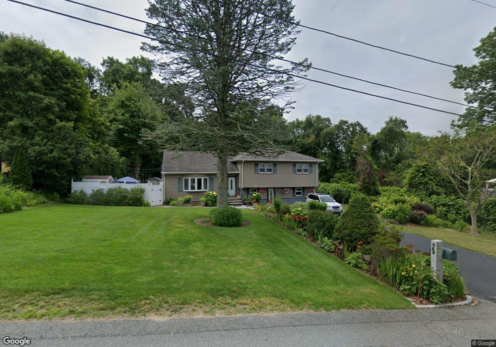
22 William St Westport, MA 02790
North Westport NeighborhoodEstimated Value: $448,000 - $491,000
3
Beds
2
Baths
1,408
Sq Ft
$337/Sq Ft
Est. Value
About This Home
This home is located at 22 William St, Westport, MA 02790 and is currently estimated at $474,502, approximately $337 per square foot. 22 William St is a home located in Bristol County with nearby schools including Alice A. Macomber Primary School, Westport Elementary School, and Westport Middle-High School.
Ownership History
Date
Name
Owned For
Owner Type
Purchase Details
Closed on
Oct 14, 2004
Sold by
Botelho Claudette Y and Botelho William
Bought by
Depina Eva A and Depina Jose M
Current Estimated Value
Home Financials for this Owner
Home Financials are based on the most recent Mortgage that was taken out on this home.
Original Mortgage
$124,000
Interest Rate
5.8%
Mortgage Type
Purchase Money Mortgage
Create a Home Valuation Report for This Property
The Home Valuation Report is an in-depth analysis detailing your home's value as well as a comparison with similar homes in the area
Home Values in the Area
Average Home Value in this Area
Purchase History
| Date | Buyer | Sale Price | Title Company |
|---|---|---|---|
| Depina Eva A | $295,000 | -- |
Source: Public Records
Mortgage History
| Date | Status | Borrower | Loan Amount |
|---|---|---|---|
| Open | Depina Eva A | $110,000 | |
| Closed | Depina Eva A | $124,000 | |
| Previous Owner | Depina Eva A | $155,000 |
Source: Public Records
Tax History Compared to Growth
Tax History
| Year | Tax Paid | Tax Assessment Tax Assessment Total Assessment is a certain percentage of the fair market value that is determined by local assessors to be the total taxable value of land and additions on the property. | Land | Improvement |
|---|---|---|---|---|
| 2025 | $2,461 | $330,400 | $126,600 | $203,800 |
| 2024 | $2,447 | $316,600 | $117,300 | $199,300 |
| 2023 | $2,439 | $298,900 | $111,700 | $187,200 |
| 2022 | $2,343 | $276,300 | $111,700 | $164,600 |
| 2021 | $2,245 | $260,400 | $101,600 | $158,800 |
| 2020 | $2,161 | $256,300 | $97,500 | $158,800 |
| 2019 | $1,933 | $233,700 | $97,500 | $136,200 |
| 2018 | $2,002 | $245,100 | $109,600 | $135,500 |
| 2017 | $1,927 | $241,800 | $106,100 | $135,700 |
| 2016 | $1,887 | $238,600 | $102,600 | $136,000 |
| 2015 | $1,843 | $232,400 | $104,900 | $127,500 |
Source: Public Records
Map
Nearby Homes
- 33 William St
- 6 Beaulieu St
- 25 Beaulieu St
- 9 Register Ave
- 128 Old Bedford Rd
- 92 Benoit St
- 100 D Dr
- 34 Alsop St
- 3 Diane Way
- 125 Angell St
- 4 Lake Ave
- 951 Dickinson St
- 1130 Hancock St
- 961 Wood St
- 37 Eaton St
- 1792 Pleasant St Unit 1808
- 219 Earle St Unit 3
- 217 Earle St Unit 2
- 871 Norman St
- 215 Earle St Unit 1