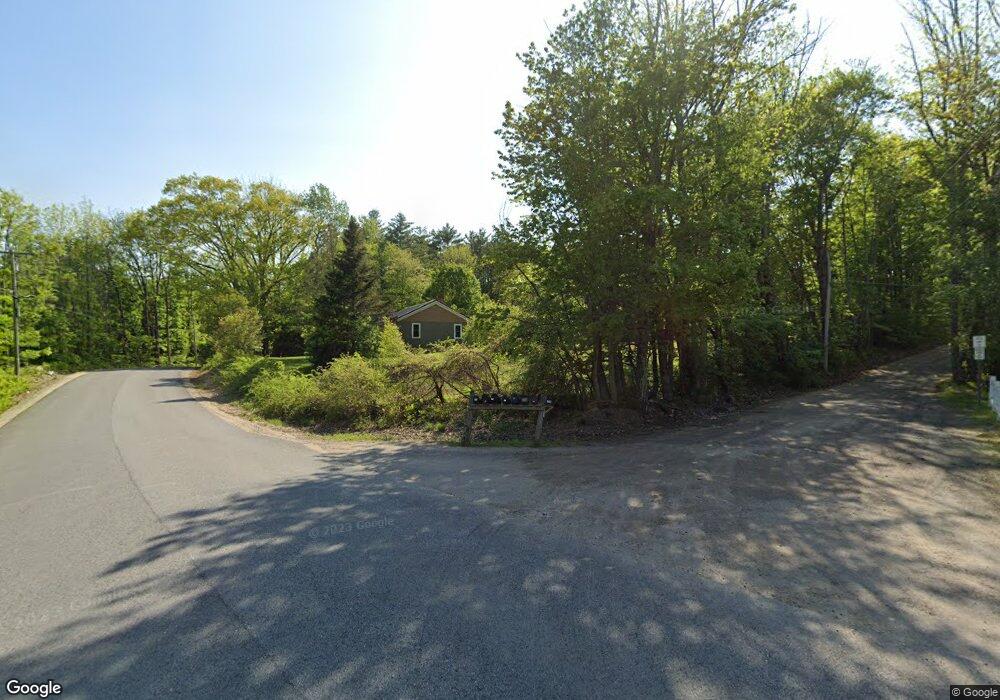
22 Windswept Dr Lebanon, ME 04027
Estimated Value: $408,227 - $540,000
4
Beds
1
Bath
--
Sq Ft
3.2
Acres
About This Home
This home is located at 22 Windswept Dr, Lebanon, ME 04027 and is currently estimated at $469,742. 22 Windswept Dr is a home located in York County with nearby schools including Noble High School.
Ownership History
Date
Name
Owned For
Owner Type
Purchase Details
Closed on
May 15, 2018
Sold by
Gerry G Kimball
Bought by
Quirion Steven
Current Estimated Value
Home Financials for this Owner
Home Financials are based on the most recent Mortgage that was taken out on this home.
Original Mortgage
$150,000
Outstanding Balance
$129,598
Interest Rate
4.55%
Estimated Equity
$340,144
Purchase Details
Closed on
May 6, 2016
Sold by
Mckibben 3Rd Glenn M
Bought by
Quirion Steven and Mcclay Shirley K
Create a Home Valuation Report for This Property
The Home Valuation Report is an in-depth analysis detailing your home's value as well as a comparison with similar homes in the area
Home Values in the Area
Average Home Value in this Area
Purchase History
| Date | Buyer | Sale Price | Title Company |
|---|---|---|---|
| Quirion Steven | -- | -- | |
| Quirion Steven | -- | -- |
Source: Public Records
Mortgage History
| Date | Status | Borrower | Loan Amount |
|---|---|---|---|
| Open | Quirion Steven | $150,000 | |
| Closed | Quirion Steven | -- |
Source: Public Records
Tax History Compared to Growth
Tax History
| Year | Tax Paid | Tax Assessment Tax Assessment Total Assessment is a certain percentage of the fair market value that is determined by local assessors to be the total taxable value of land and additions on the property. | Land | Improvement |
|---|---|---|---|---|
| 2024 | $3,218 | $338,745 | $106,320 | $232,425 |
| 2023 | $3,116 | $338,745 | $106,320 | $232,425 |
| 2022 | $2,966 | $193,220 | $36,220 | $157,000 |
| 2021 | $2,918 | $193,220 | $36,220 | $157,000 |
| 2020 | $3,063 | $193,220 | $36,220 | $157,000 |
| 2019 | $3,018 | $193,220 | $36,220 | $157,000 |
| 2017 | $2,945 | $193,220 | $36,220 | $157,000 |
| 2016 | $2,945 | $193,220 | $36,220 | $157,000 |
| 2015 | $2,945 | $193,220 | $36,220 | $157,000 |
| 2014 | $2,834 | $190,220 | $33,220 | $157,000 |
Source: Public Records
Map
Nearby Homes
- 31 Davis Ln
- 17 Wildflower Way
- 50 Forest Park Dr
- 141 Sam Wentworth Rd
- 15 Friesian Ln
- 6 Sewell Rd
- 136 Milton Rd
- 0 School House Ln Unit 1641501
- 30 Riverlawn Ave
- 117 Gile Way
- 384 Cross Rd
- 33 Moose Ln
- 96 Salmon Falls Rd
- R11-063 Shapleigh Rd
- 327 White Mountain Hwy
- 30 Flat Rock Bridge Rd
- 514 Upper Guinea Rd
- 301 Shapleigh Rd
- 10 Brown St
- 70 River Rd
- 44 Windswept Dr
- 25 Windswept Dr
- 201 N Rochester Rd
- 213 N Rochester Rd
- 183 N Rochester Rd
- TBD Windswept
- 207 N Rochester Rd
- 0 Windswept Dr
- 56 Windswept Dr
- 00 Upper Barley
- 0 Upper Barley
- 225 N Rochester Rd
- 70 Windswept Dr
- 12 Upper Barley Rd
- TBD N Rochester Rd
- 231 N Rochester Rd
- 237 N Rochester Rd
- 246 N Rochester Rd
- 82 Windswept Dr
- 32 Upper Barley Rd
