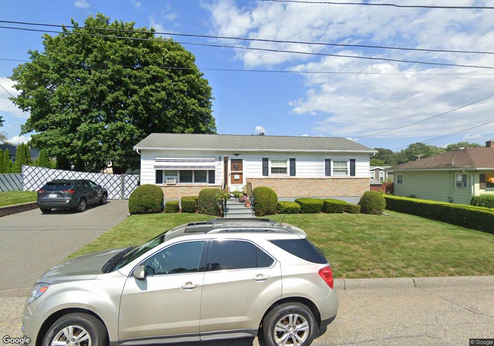
22 Winston Dr Lawrence, MA 01843
Mount Vernon NeighborhoodEstimated Value: $476,000 - $554,000
4
Beds
2
Baths
1,056
Sq Ft
$500/Sq Ft
Est. Value
About This Home
This home is located at 22 Winston Dr, Lawrence, MA 01843 and is currently estimated at $527,983, approximately $499 per square foot. 22 Winston Dr is a home located in Essex County with nearby schools including Olive Branch Elementary School, John Breen School, and School For Exceptional Studies.
Ownership History
Date
Name
Owned For
Owner Type
Purchase Details
Closed on
Mar 4, 2015
Sold by
Morin Raymond A and Morin Louisette J
Bought by
R&K Morim Nt
Current Estimated Value
Purchase Details
Closed on
May 1, 1978
Bought by
R & L Morin Nt
Create a Home Valuation Report for This Property
The Home Valuation Report is an in-depth analysis detailing your home's value as well as a comparison with similar homes in the area
Home Values in the Area
Average Home Value in this Area
Purchase History
| Date | Buyer | Sale Price | Title Company |
|---|---|---|---|
| R&K Morim Nt | -- | -- | |
| R & L Morin Nt | -- | -- |
Source: Public Records
Mortgage History
| Date | Status | Borrower | Loan Amount |
|---|---|---|---|
| Previous Owner | R & L Morin Nt | $75,000 | |
| Previous Owner | R & L Morin Nt | $30,000 |
Source: Public Records
Tax History Compared to Growth
Tax History
| Year | Tax Paid | Tax Assessment Tax Assessment Total Assessment is a certain percentage of the fair market value that is determined by local assessors to be the total taxable value of land and additions on the property. | Land | Improvement |
|---|---|---|---|---|
| 2025 | $3,929 | $446,500 | $166,200 | $280,300 |
| 2024 | $3,812 | $412,100 | $140,300 | $271,800 |
| 2023 | $3,968 | $390,600 | $140,300 | $250,300 |
| 2022 | $3,761 | $328,800 | $127,800 | $201,000 |
| 2021 | $3,566 | $290,600 | $125,100 | $165,500 |
| 2020 | $3,464 | $278,700 | $116,100 | $162,600 |
| 2019 | $3,386 | $247,500 | $102,300 | $145,200 |
| 2018 | $3,123 | $218,100 | $97,100 | $121,000 |
| 2017 | $3,128 | $203,900 | $92,800 | $111,100 |
| 2016 | $3,009 | $194,000 | $80,000 | $114,000 |
| 2015 | $2,933 | $194,000 | $80,000 | $114,000 |
Source: Public Records
Map
Nearby Homes
- 29 Glenwood Dr
- 0
- 96 Beacon St
- 11 Devonshire St
- 5 Marc Ln
- 21 Clubview Dr Unit 21
- 42 Beresford St
- 25 Clubview Dr Unit 25
- 13 Clubview Dr Unit 13
- 54 Amherst St
- 15 Beaconsfield St
- 33 Jefferson St
- 11 W Hawley St
- 37 Tewksbury St Unit 39
- 8 Packard St
- 5 W Kenneth St
- 34 Leeds Terrace
- 102 Weare St
- 629 Andover St
- 750 Brookside Dr Unit G
- 25 Westchester Dr
- 18 Winston Dr
- 26 Winston Dr
- 21 Westchester Dr
- 21 Winston Dr
- 29 Westchester Dr
- 23 Winston Dr
- 17 Westchester Dr
- 17 Winston Dr
- 14 Winston Dr
- 26 Westchester Dr
- 22 Pembroke Dr
- 22 Westchester Dr
- 18 Pembroke Dr
- 15 Westchester Dr
- 11 Winston Dr
- 45 Pembroke Dr
- 37 Pembroke Dr
- 18 Westchester Dr
- 14 Pembroke Dr