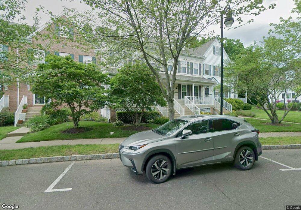
22 Woodbridge Dr Unit 68 Doylestown, PA 18901
Estimated Value: $567,000 - $691,000
3
Beds
3
Baths
2,000
Sq Ft
$312/Sq Ft
Est. Value
About This Home
This home is located at 22 Woodbridge Dr Unit 68, Doylestown, PA 18901 and is currently estimated at $623,776, approximately $311 per square foot. 22 Woodbridge Dr Unit 68 is a home located in Bucks County with nearby schools including Doyle El School, Lenape Middle School, and Central Bucks High School-West.
Ownership History
Date
Name
Owned For
Owner Type
Purchase Details
Closed on
Jul 21, 2021
Sold by
Robinson Robin J and Robinson Laura L
Bought by
Robinson Robert A
Current Estimated Value
Purchase Details
Closed on
Mar 16, 2004
Sold by
Lantern Hill At Doylestown Lp
Bought by
Robinson Robert J and Robinson Laura L
Home Financials for this Owner
Home Financials are based on the most recent Mortgage that was taken out on this home.
Original Mortgage
$160,000
Interest Rate
5.71%
Mortgage Type
Purchase Money Mortgage
Create a Home Valuation Report for This Property
The Home Valuation Report is an in-depth analysis detailing your home's value as well as a comparison with similar homes in the area
Home Values in the Area
Average Home Value in this Area
Purchase History
| Date | Buyer | Sale Price | Title Company |
|---|---|---|---|
| Robinson Robert A | -- | None Available | |
| Robinson Robert J | $275,000 | -- |
Source: Public Records
Mortgage History
| Date | Status | Borrower | Loan Amount |
|---|---|---|---|
| Previous Owner | Robinson Robert J | $160,000 |
Source: Public Records
Tax History Compared to Growth
Tax History
| Year | Tax Paid | Tax Assessment Tax Assessment Total Assessment is a certain percentage of the fair market value that is determined by local assessors to be the total taxable value of land and additions on the property. | Land | Improvement |
|---|---|---|---|---|
| 2025 | $6,676 | $37,060 | $2,920 | $34,140 |
| 2024 | $6,676 | $37,060 | $2,920 | $34,140 |
| 2023 | $6,361 | $37,060 | $2,920 | $34,140 |
| 2022 | $6,272 | $37,060 | $2,920 | $34,140 |
| 2021 | $6,203 | $37,060 | $2,920 | $34,140 |
| 2020 | $6,135 | $37,060 | $2,920 | $34,140 |
| 2019 | $6,068 | $37,060 | $2,920 | $34,140 |
| 2018 | $5,994 | $37,060 | $2,920 | $34,140 |
| 2017 | $5,931 | $37,060 | $2,920 | $34,140 |
| 2016 | $5,931 | $37,060 | $2,920 | $34,140 |
| 2015 | -- | $37,060 | $2,920 | $34,140 |
| 2014 | -- | $37,060 | $2,920 | $34,140 |
Source: Public Records
Map
Nearby Homes
- 418 North St
- 90 Chapman Ave
- 169 N Main St
- 146 N Church St
- 333 Dorset Ct Unit 333
- 215 N Franklin St
- 146 E Court St
- 114 Blackfriars Cir
- 100 Bishops Gate Ln Unit 67
- 121 Cottage St
- 20 E Court St
- 4 Barnes Ct
- 37 N Clinton St
- 1 Gatehouse Ln
- 155 E Oakland Ave
- 69 E Oakland Ave
- 62 Constitution Ave
- 4 Old Colonial Dr Unit 254
- 110 E Ashland St
- 5 Belmont Square
- 24 Woodbridge Dr Unit 69
- 20 Woodbridge Dr Unit 67
- 26 Woodbridge Dr Unit 70
- 18 Woodbridge Dr Unit 66
- 28 Woodbridge Dr Unit 71
- 30 Woodbridge Dr Unit 72
- 16 Woodbridge Dr Unit 65
- 23 Woodbridge Dr Unit 61
- 21 Woodbridge Dr Unit 62
- 32 Woodbridge Dr Unit 73
- 14 Woodbridge Dr Unit 64
- 25 Woodbridge Dr Unit 60
- 34 Woodbridge Dr
- 27 Woodbridge Dr Unit 59
- 29 Woodbridge Dr Unit 58
- 31 Woodbridge Dr Unit 57
- 19 Woodbridge Dr Unit 63
- 33 Woodbridge Dr
- 221 Hillcrest Dr
- 17 Woodbridge Dr Unit 30