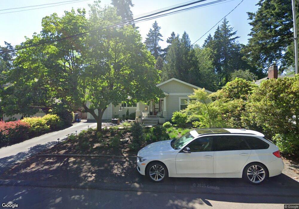
220 6th St Lake Oswego, OR 97034
Evergreen NeighborhoodEstimated Value: $1,080,000 - $2,078,000
3
Beds
2
Baths
1,782
Sq Ft
$786/Sq Ft
Est. Value
About This Home
This home is located at 220 6th St, Lake Oswego, OR 97034 and is currently estimated at $1,400,732, approximately $786 per square foot. 220 6th St is a home located in Clackamas County with nearby schools including Forest Hills Elementary School, Lake Oswego Junior High School, and Lake Oswego Senior High School.
Ownership History
Date
Name
Owned For
Owner Type
Purchase Details
Closed on
Oct 22, 2019
Sold by
Prichard L Paden and Prichard Norma I
Bought by
Morishita Clayton Ford and Morishita Jolene M
Current Estimated Value
Home Financials for this Owner
Home Financials are based on the most recent Mortgage that was taken out on this home.
Original Mortgage
$484,350
Outstanding Balance
$423,378
Interest Rate
3.5%
Mortgage Type
New Conventional
Estimated Equity
$977,354
Purchase Details
Closed on
Jun 23, 2006
Sold by
Anderson Loralee
Bought by
Prichard L Paden and Prichard Norma I
Create a Home Valuation Report for This Property
The Home Valuation Report is an in-depth analysis detailing your home's value as well as a comparison with similar homes in the area
Home Values in the Area
Average Home Value in this Area
Purchase History
| Date | Buyer | Sale Price | Title Company |
|---|---|---|---|
| Morishita Clayton Ford | $620,000 | Fidelity National Title | |
| Prichard L Paden | $325,000 | Chicago Title Insurance Co |
Source: Public Records
Mortgage History
| Date | Status | Borrower | Loan Amount |
|---|---|---|---|
| Open | Morishita Clayton Ford | $484,350 |
Source: Public Records
Tax History Compared to Growth
Tax History
| Year | Tax Paid | Tax Assessment Tax Assessment Total Assessment is a certain percentage of the fair market value that is determined by local assessors to be the total taxable value of land and additions on the property. | Land | Improvement |
|---|---|---|---|---|
| 2025 | $10,270 | $535,961 | -- | -- |
| 2024 | $9,996 | $520,351 | -- | -- |
| 2023 | $9,996 | $505,196 | $0 | $0 |
| 2022 | $9,415 | $490,482 | $0 | $0 |
| 2021 | $7,472 | $409,245 | $0 | $0 |
| 2020 | $4,698 | $256,253 | $0 | $0 |
| 2019 | $4,583 | $248,790 | $0 | $0 |
| 2018 | $4,358 | $241,544 | $0 | $0 |
| 2017 | $4,205 | $234,509 | $0 | $0 |
| 2016 | $3,827 | $227,679 | $0 | $0 |
| 2015 | $3,698 | $221,048 | $0 | $0 |
| 2014 | $3,650 | $214,610 | $0 | $0 |
Source: Public Records
Map
Nearby Homes