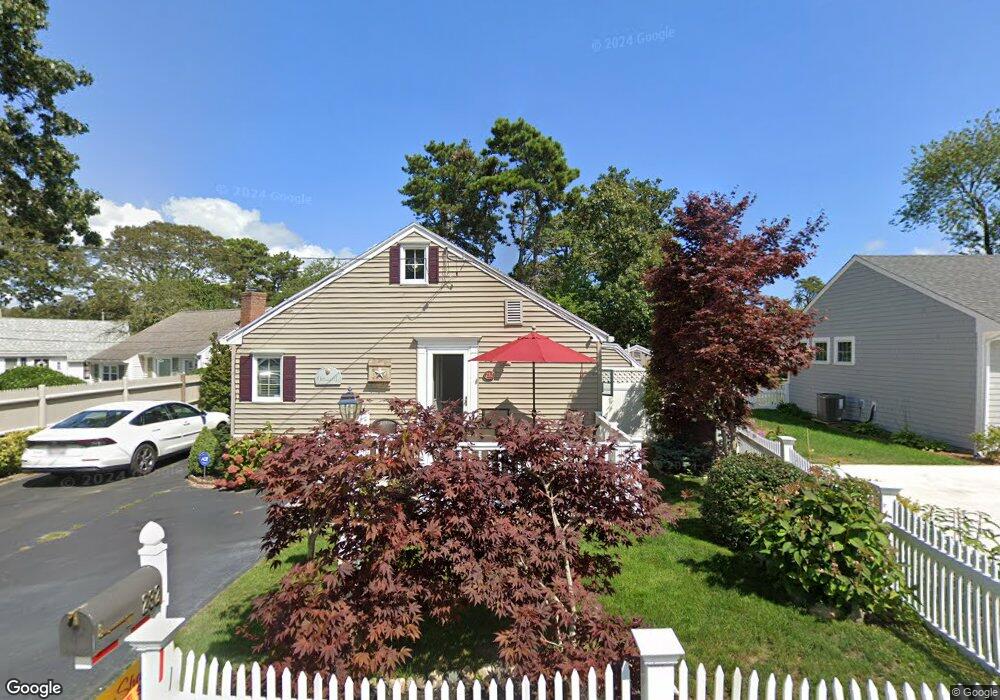
220-A Shad Hole Rd Dennis Port, MA 2639
Dennis Port NeighborhoodEstimated Value: $380,000 - $555,823
2
Beds
1
Bath
528
Sq Ft
$854/Sq Ft
Est. Value
About This Home
This home is located at 220-A Shad Hole Rd, Dennis Port, MA 2639 and is currently estimated at $450,956, approximately $854 per square foot. 220-A Shad Hole Rd is a home located in Barnstable County with nearby schools including Dennis-Yarmouth Regional High School and St. Pius X. School.
Ownership History
Date
Name
Owned For
Owner Type
Purchase Details
Closed on
Nov 27, 2012
Sold by
Lakin Earle R and Lakin Lizabeth W
Bought by
Duffy Paul R and Duffy Lisa M
Current Estimated Value
Home Financials for this Owner
Home Financials are based on the most recent Mortgage that was taken out on this home.
Original Mortgage
$100,000
Outstanding Balance
$68,953
Interest Rate
3.42%
Mortgage Type
New Conventional
Estimated Equity
$382,003
Purchase Details
Closed on
May 28, 2010
Sold by
Eisenhardt Michael F and Walz-Eisenhardt Sherry
Bought by
Lakin Earle R and Warren-Lakin Lizabeth
Home Financials for this Owner
Home Financials are based on the most recent Mortgage that was taken out on this home.
Original Mortgage
$110,000
Interest Rate
5.13%
Mortgage Type
Purchase Money Mortgage
Purchase Details
Closed on
Nov 8, 1999
Sold by
Flood James K and Flood Sheila A
Bought by
Eisenhardt Michael F and Walz-Eisenhardt Sherry
Create a Home Valuation Report for This Property
The Home Valuation Report is an in-depth analysis detailing your home's value as well as a comparison with similar homes in the area
Home Values in the Area
Average Home Value in this Area
Purchase History
| Date | Buyer | Sale Price | Title Company |
|---|---|---|---|
| Duffy Paul R | $189,900 | -- | |
| Lakin Earle R | $220,000 | -- | |
| Eisenhardt Michael F | $82,500 | -- | |
| Lakin Earle R | $220,000 | -- | |
| Eisenhardt Michael F | $82,500 | -- |
Source: Public Records
Mortgage History
| Date | Status | Borrower | Loan Amount |
|---|---|---|---|
| Open | Duffy Paul R | $100,000 | |
| Closed | Duffy Paul R | $100,000 | |
| Previous Owner | Lakin Earle R | $110,000 | |
| Previous Owner | Eisenhardt Michael F | $75,000 |
Source: Public Records
Tax History Compared to Growth
Tax History
| Year | Tax Paid | Tax Assessment Tax Assessment Total Assessment is a certain percentage of the fair market value that is determined by local assessors to be the total taxable value of land and additions on the property. | Land | Improvement |
|---|---|---|---|---|
| 2025 | $1,982 | $457,800 | $253,200 | $204,600 |
| 2024 | $1,832 | $417,400 | $243,500 | $173,900 |
| 2023 | $1,773 | $379,600 | $221,400 | $158,200 |
| 2022 | $1,626 | $290,300 | $174,500 | $115,800 |
| 2021 | $1,591 | $263,800 | $171,100 | $92,700 |
| 2020 | $1,557 | $255,200 | $171,100 | $84,100 |
| 2019 | $1,584 | $256,800 | $182,100 | $74,700 |
| 2018 | $1,535 | $242,100 | $173,300 | $68,800 |
| 2017 | $1,392 | $226,300 | $159,700 | $66,600 |
| 2016 | $1,354 | $207,300 | $150,500 | $56,800 |
| 2015 | $1,327 | $207,300 | $150,500 | $56,800 |
| 2014 | $1,259 | $198,200 | $141,400 | $56,800 |
Source: Public Records
Map
Nearby Homes
- 22 Ferncliff Rd
- 37-A Beach Hills Rd
- 37 Beach Hills Rd
- 102 Sea St
- 262 Old Wharf Rd Unit 67
- 262 Old Wharf Rd Unit 5
- 262 Old Wharf Rd Unit 5
- 262 Old Wharf Rd Unit 20
- 262 Old Wharf Rd Unit 87
- 31 Easy St
- 241 Old Wharf Rd Unit 82
- 241 Old Wharf Rd Unit 127
- 241 Old Wharf Rd Unit 90
- 402 Old Wharf Rd
- 402 Old Wharf Rd
- 405 Old Wharf Rd Unit B204
- 405 Old Wharf Rd Unit B204
- 217 Old Wharf Rd Unit 64
- 22 Wixon Rd
- 11 Ocean Park W
- 220A Shad Hole Rd
- 220 Shad Hole Rd
- 222 Shad Hole Rd
- 218A Shad Hole Rd
- 218 Shad Hole Rd
- 218-A Shad Hole Rd
- 224 Shad Hole Rd
- 224 Shad Hole Rd Unit 1
- 217 Shad Hole Rd
- 11 Laurel Rd
- 226 Shad Hole Rd
- 269 Lower County Rd
- 273 Lower County Rd
- 228 Shad Hole Rd
- 225 Shad Hole Rd
- 9 Laurel Rd
- 15 Laurel Rd
- 279 Lower County Rd
- 5 Laurel Rd
- 232 Shad Hole Rd