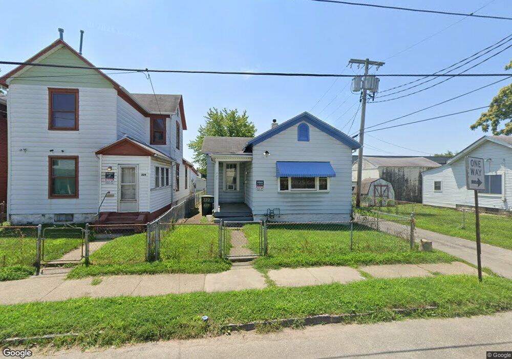
220 Air St Dayton, OH 45404
Old North Dayton NeighborhoodEstimated Value: $80,768 - $128,000
3
Beds
1
Bath
1,168
Sq Ft
$88/Sq Ft
Est. Value
About This Home
This home is located at 220 Air St, Dayton, OH 45404 and is currently estimated at $102,442, approximately $87 per square foot. 220 Air St is a home located in Montgomery County with nearby schools including Kiser Elementary, Ruskin Elementary School, and Liberty High School.
Ownership History
Date
Name
Owned For
Owner Type
Purchase Details
Closed on
May 7, 2004
Sold by
Turpin Daniel E and Turpin Deborah J
Bought by
Slate John and Ewry Amber
Current Estimated Value
Home Financials for this Owner
Home Financials are based on the most recent Mortgage that was taken out on this home.
Original Mortgage
$25,000
Interest Rate
5%
Mortgage Type
Seller Take Back
Purchase Details
Closed on
Jul 16, 2002
Sold by
Rowe Kathryn V
Bought by
Turpin Daniel E
Purchase Details
Closed on
Jan 20, 1995
Sold by
Konicki Edward P and Konicki Judith K
Bought by
Rowe Kathryn V
Create a Home Valuation Report for This Property
The Home Valuation Report is an in-depth analysis detailing your home's value as well as a comparison with similar homes in the area
Home Values in the Area
Average Home Value in this Area
Purchase History
| Date | Buyer | Sale Price | Title Company |
|---|---|---|---|
| Slate John | $25,000 | -- | |
| Turpin Daniel E | -- | -- | |
| Rowe Kathryn V | -- | -- |
Source: Public Records
Mortgage History
| Date | Status | Borrower | Loan Amount |
|---|---|---|---|
| Closed | Slate John | $25,000 |
Source: Public Records
Tax History Compared to Growth
Tax History
| Year | Tax Paid | Tax Assessment Tax Assessment Total Assessment is a certain percentage of the fair market value that is determined by local assessors to be the total taxable value of land and additions on the property. | Land | Improvement |
|---|---|---|---|---|
| 2024 | $747 | $11,590 | $2,910 | $8,680 |
| 2023 | $747 | $11,590 | $2,910 | $8,680 |
| 2022 | $814 | $9,880 | $2,490 | $7,390 |
| 2021 | $810 | $9,880 | $2,490 | $7,390 |
| 2020 | $809 | $9,880 | $2,490 | $7,390 |
| 2019 | $612 | $6,420 | $2,090 | $4,330 |
| 2018 | $613 | $6,420 | $2,090 | $4,330 |
| 2017 | $609 | $6,420 | $2,090 | $4,330 |
| 2016 | $602 | $6,020 | $1,990 | $4,030 |
| 2015 | $574 | $6,020 | $1,990 | $4,030 |
| 2014 | $574 | $6,020 | $1,990 | $4,030 |
| 2012 | -- | $9,660 | $4,290 | $5,370 |
Source: Public Records
Map
Nearby Homes
- 414 Hart St Unit 412
- 426 Troy St
- 1531 Chapel St
- 139 Grove Ave
- 147 Grove Ave
- 151 Grove Ave
- 36 Baltimore St
- 82 Notre Dame Ave
- 534 Maryland Ave
- 70 Baltimore St
- 144 Alton Ave
- 159 Alton Ave Unit 157
- 96 Notre Dame Ave
- 111 Alaska St
- 730 Troy St
- 718 Taylor St
- 726 Taylor St Unit 128
- 729 Troy St
- 188 Alton Ave
- 1815 Warner Ave