220 Angus Dr Weatherford, TX 76088
Estimated Value: $321,000 - $383,876
2
Beds
1
Bath
1,066
Sq Ft
$331/Sq Ft
Est. Value
About This Home
This home is located at 220 Angus Dr, Weatherford, TX 76088 and is currently estimated at $352,438, approximately $330 per square foot. 220 Angus Dr is a home located in Parker County with nearby schools including Peaster Elementary School, Peaster Middle School, and Peaster High School.
Ownership History
Date
Name
Owned For
Owner Type
Purchase Details
Closed on
Mar 18, 2016
Sold by
Linehan Carla A
Bought by
Channell Tyler and Channell Alexandra
Current Estimated Value
Home Financials for this Owner
Home Financials are based on the most recent Mortgage that was taken out on this home.
Original Mortgage
$203,741
Outstanding Balance
$161,634
Interest Rate
3.72%
Mortgage Type
FHA
Estimated Equity
$190,804
Purchase Details
Closed on
Aug 23, 1982
Bought by
Channell Tyler and Channell Alexandra
Create a Home Valuation Report for This Property
The Home Valuation Report is an in-depth analysis detailing your home's value as well as a comparison with similar homes in the area
Home Values in the Area
Average Home Value in this Area
Purchase History
| Date | Buyer | Sale Price | Title Company |
|---|---|---|---|
| Channell Tyler | -- | Providence Title Company | |
| Channell Tyler | -- | -- |
Source: Public Records
Mortgage History
| Date | Status | Borrower | Loan Amount |
|---|---|---|---|
| Open | Channell Tyler | $203,741 |
Source: Public Records
Tax History Compared to Growth
Tax History
| Year | Tax Paid | Tax Assessment Tax Assessment Total Assessment is a certain percentage of the fair market value that is determined by local assessors to be the total taxable value of land and additions on the property. | Land | Improvement |
|---|---|---|---|---|
| 2025 | $558 | $103,431 | -- | -- |
| 2024 | $558 | $94,028 | -- | -- |
| 2023 | $558 | $85,480 | $0 | $0 |
| 2022 | $1,550 | $77,710 | $14,910 | $62,800 |
| 2021 | $1,562 | $77,710 | $14,910 | $62,800 |
| 2020 | $1,456 | $71,000 | $10,000 | $61,000 |
| 2019 | $1,498 | $71,000 | $10,000 | $61,000 |
| 2018 | $1,366 | $63,190 | $9,900 | $53,290 |
| 2017 | $1,359 | $63,190 | $9,900 | $53,290 |
| 2016 | $1,688 | $82,390 | $12,000 | $70,390 |
| 2015 | $414 | $82,390 | $12,000 | $70,390 |
| 2014 | $539 | $64,850 | $12,000 | $52,850 |
Source: Public Records
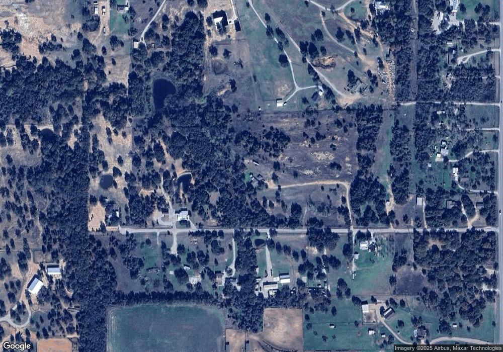
Map
Nearby Homes
- 12125 Fm 920
- 112 Dubois Rd
- 1017 Vh Ranch Rd
- 8108 EP Floor Plan at Dry Creek East
- 8137 Floor Plan at Dry Creek East
- 8125 Floor Plan at Dry Creek East
- 8121 Floor Plan at Dry Creek East
- 8113 Floor Plan at Dry Creek East
- 8136 Floor Plan at Dry Creek East
- 8126 Floor Plan at Dry Creek East
- 8130 Floor Plan at Dry Creek East
- 8135 Floor Plan at Dry Creek East
- 8700 Fm 920
- 1065 Vh Ranch Rd
- 1000 Vh Ranch Rd
- 10400 Fm 920
- 1723 Mcclendon Rd
- 160 Falcon Dr
- 1961 Mcclendon Rd
- 1005 Cheyenne Rd