Estimated Value: $402,979
--
Bed
1
Bath
29,375
Sq Ft
$14/Sq Ft
Est. Value
About This Home
This home is located at 220 Appalachian Rd, Floyd, VA 24091 and is currently estimated at $402,979, approximately $13 per square foot. 220 Appalachian Rd is a home located in Floyd County with nearby schools including Floyd County High School, Blue Mountain School, and Rising Sun Community School.
Ownership History
Date
Name
Owned For
Owner Type
Purchase Details
Closed on
Oct 31, 2016
Sold by
Dee & K Enterprises Inc A Virginia Corpora
Bought by
Rwjb Properties Inc A Virginia Corporati
Current Estimated Value
Home Financials for this Owner
Home Financials are based on the most recent Mortgage that was taken out on this home.
Original Mortgage
$188,000
Outstanding Balance
$151,216
Interest Rate
3.48%
Mortgage Type
Commercial
Estimated Equity
$251,763
Create a Home Valuation Report for This Property
The Home Valuation Report is an in-depth analysis detailing your home's value as well as a comparison with similar homes in the area
Home Values in the Area
Average Home Value in this Area
Purchase History
| Date | Buyer | Sale Price | Title Company |
|---|---|---|---|
| Rwjb Properties Inc A Virginia Corporati | $235,000 | Attorney |
Source: Public Records
Mortgage History
| Date | Status | Borrower | Loan Amount |
|---|---|---|---|
| Open | Rwjb Properties Inc A Virginia Corporati | $188,000 |
Source: Public Records
Tax History Compared to Growth
Tax History
| Year | Tax Paid | Tax Assessment Tax Assessment Total Assessment is a certain percentage of the fair market value that is determined by local assessors to be the total taxable value of land and additions on the property. | Land | Improvement |
|---|---|---|---|---|
| 2025 | $1,676 | $380,800 | $86,100 | $294,700 |
| 2024 | $2,342 | $349,500 | $80,600 | $268,900 |
| 2023 | $2,272 | $349,500 | $80,600 | $268,900 |
| 2022 | $2,272 | $349,500 | $80,600 | $268,900 |
| 2021 | $2,202 | $349,500 | $80,600 | $268,900 |
| 2020 | $2,097 | $349,500 | $80,600 | $268,900 |
| 2019 | $1,862 | $310,400 | $43,100 | $267,300 |
| 2018 | $1,862 | $310,400 | $43,100 | $267,300 |
| 2017 | $1,707 | $310,400 | $43,100 | $267,300 |
| 2016 | $1,707 | $310,400 | $43,100 | $267,300 |
| 2015 | -- | $310,400 | $43,100 | $267,300 |
| 2014 | -- | $310,400 | $43,100 | $267,300 |
Source: Public Records
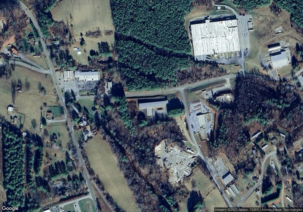
Map
Nearby Homes
- TBD Sweeney St Willis Ave SE
- TBD Tract B Penn Rd NW
- TBD Franklin Pike SE
- 220 Annie Ln SW
- 171 Pine Creek Way SE
- 145 Long Level Rd SW
- 173 Long Level Rd SW
- 0 0 Unit VAHA2001058
- 174 Water Haven Ln SE
- 1141 Dobbins Farm Rd NE
- 528 Falling Branch Rd NW
- 162 Ridgeview Rd NW
- 00 Shooting Creek Rd SE
- 00 Morning Dew Ln SE
- 1286 Cox Store Rd SW
- 1287 Cox Store Rd SW
- 000 Cox Store Rd SW
- TBD 110 ac. Thomas Farm Rd SE
- 2230 Sowers Rd NE
- 629 Paradise Ln SE
- 148 Parkview Rd NE
- 168 Appalachian Rd
- 157 Parkview Rd NE
- 116 Parkview Rd NE
- 166 Appalachian Rd
- 0 Parkview Rd NE Unit 202813
- 319 Webbs Mill Rd N
- 323 Webbs Mill Rd N
- TBD Parcel A - Webbs Mill Rd
- 332 Webbs Mill Rd N
- 299 Needmore Ln NE
- 110 Three Rocks Rd NE
- 257 Needmore Ln NE
- 260 Webbs Mill Rd N
- 283 Needmore Ln NE
- 321 Needmore Ln NE
- 197 Needmore Ln NE
- 234 Webbs Mill Rd N
- 217 Needmore Ln NE
- 217 Needmore Ln NE