220 Apremont Hwy Holyoke, MA 01040
Estimated Value: $334,000 - $372,000
2
Beds
1
Bath
1,520
Sq Ft
$233/Sq Ft
Est. Value
About This Home
This home is located at 220 Apremont Hwy, Holyoke, MA 01040 and is currently estimated at $353,602, approximately $232 per square foot. 220 Apremont Hwy is a home located in Hampden County with nearby schools including Harriet Bishop Elementary School, Lt. Elmer J. McMahon Elementary School, and Holyoke High School.
Ownership History
Date
Name
Owned For
Owner Type
Purchase Details
Closed on
Jul 28, 2017
Sold by
Renzulli Joseph M and Renzulli Kimberly A
Bought by
Renzulli Ft
Current Estimated Value
Purchase Details
Closed on
Oct 12, 2000
Sold by
Renzulli Peter and Renzulli Catherine A
Bought by
Renzulli Joseph M and Renzulli Kimberly A
Create a Home Valuation Report for This Property
The Home Valuation Report is an in-depth analysis detailing your home's value as well as a comparison with similar homes in the area
Home Values in the Area
Average Home Value in this Area
Purchase History
| Date | Buyer | Sale Price | Title Company |
|---|---|---|---|
| Renzulli Ft | -- | -- | |
| Renzulli Joseph M | $101,407 | -- |
Source: Public Records
Mortgage History
| Date | Status | Borrower | Loan Amount |
|---|---|---|---|
| Previous Owner | Renzulli Joseph M | $117,000 | |
| Previous Owner | Renzulli Joseph M | $19,700 | |
| Previous Owner | Renzulli Joseph M | $17,600 |
Source: Public Records
Tax History Compared to Growth
Tax History
| Year | Tax Paid | Tax Assessment Tax Assessment Total Assessment is a certain percentage of the fair market value that is determined by local assessors to be the total taxable value of land and additions on the property. | Land | Improvement |
|---|---|---|---|---|
| 2025 | $5,191 | $297,300 | $79,300 | $218,000 |
| 2024 | $4,893 | $258,200 | $75,500 | $182,700 |
| 2023 | $4,694 | $250,200 | $75,500 | $174,700 |
| 2022 | $4,520 | $234,700 | $75,500 | $159,200 |
| 2021 | $4,332 | $224,800 | $72,400 | $152,400 |
| 2020 | $4,123 | $216,100 | $72,400 | $143,700 |
| 2019 | $4,034 | $209,100 | $72,400 | $136,700 |
| 2018 | $3,862 | $201,900 | $72,400 | $129,500 |
| 2017 | $3,870 | $201,900 | $72,400 | $129,500 |
| 2016 | $3,834 | $200,500 | $74,600 | $125,900 |
| 2015 | $3,818 | $200,500 | $74,600 | $125,900 |
Source: Public Records
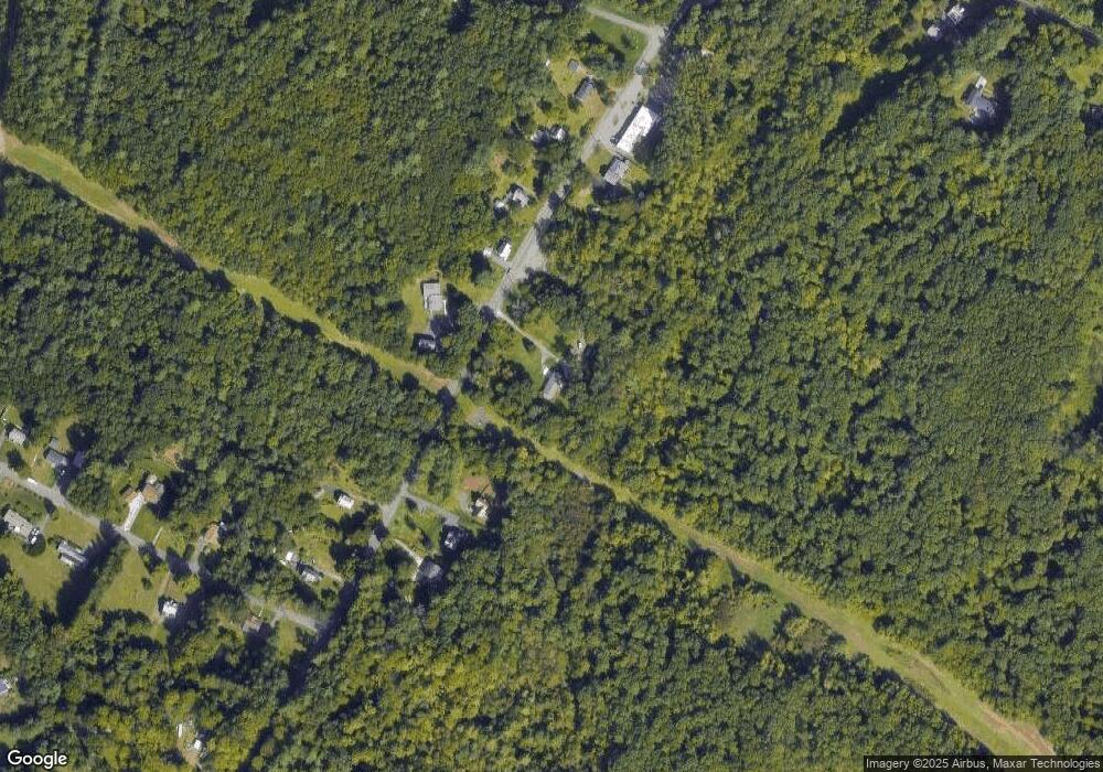
Map
Nearby Homes
- 103 Dupuis Rd
- 405 Rock Valley Rd
- 4 Fitch Farm Way
- 94 Pequot Rd (Rear)
- Lot A Homestead Ave
- 794 Homestead Ave
- 150 Middle Rd
- 36 County Rd
- 64 Old Stage Rd
- Lot 57 White Loaf Rd
- 33 Maple Crest Cir Unit D
- 15 Maple Crest Cir Unit D
- 34 Maple Crest Cir Unit B
- lot b Homestead Ave
- 53 Farnum Dr Unit 53
- 0 Char Dr
- 84 Woodland St
- 43 King St
- 7 Western View Rd
- 70-72 Westfield Rd
- 210 Apremont Hwy
- 217 Apremont Hwy
- 211 Apremont Hwy
- 200 Apremont Hwy
- 234 Apremont Hwy
- 203 Apremont Hwy
- 240 Apremont Hwy
- 241 Apremont Hwy
- 197 Apremont Hwy
- 252 Apremont Hwy
- 246 Apremont Hwy
- 190 Apremont Hwy
- 193 Apremont Hwy
- 251 Apremont Hwy
- 0 Mueller Rd
- 23 Mueller Rd
- 10 Mueller Rd
- 37 Mueller Rd
- 26 Mueller Rd
- 45 Mueller Rd